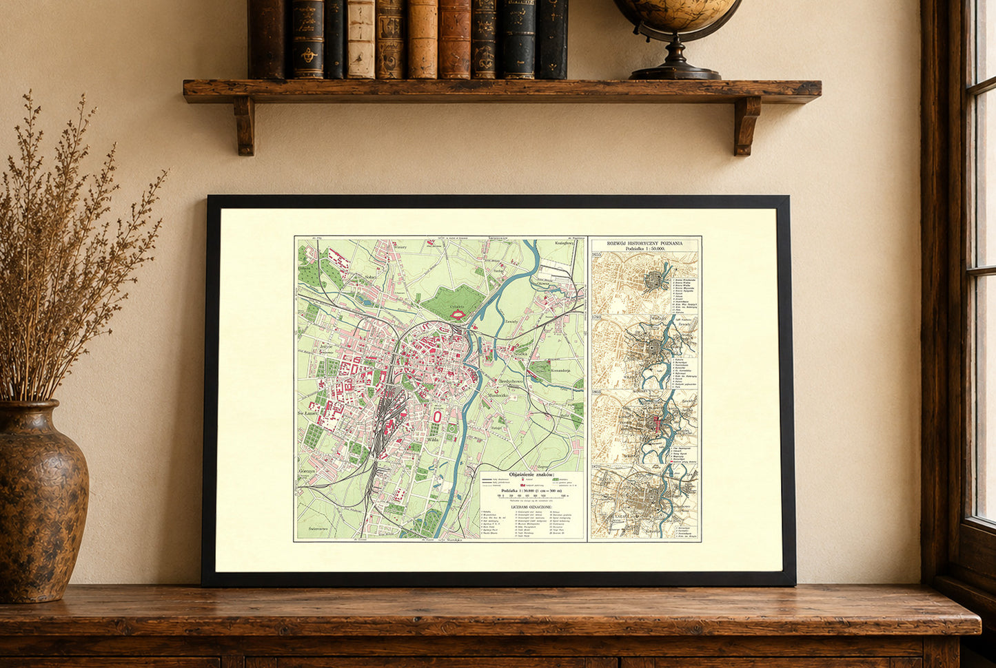


Discover the historic heart of one of Poland's oldest cities with this beautifully detailed Poznań City Map Poster, created by the legendary Polish cartographer Eugeniusz Romer in collaboration with Stanisław Pawłowski and published in 1932 by the renowned Książnica-Atlas Cartographic Institute in Lwów and Warsaw. Produced during the Second Polish Republic, this exceptional city plan documents Poznań at a pivotal moment in its modern urban development.
The map presents a highly detailed street plan of Poznań, including roads, railways, parks, rivers, public buildings, and districts. Terrain is represented using contour lines, providing a precise depiction of the city's topography while maintaining the clean and elegant style characteristic of early twentieth-century Polish cartography.
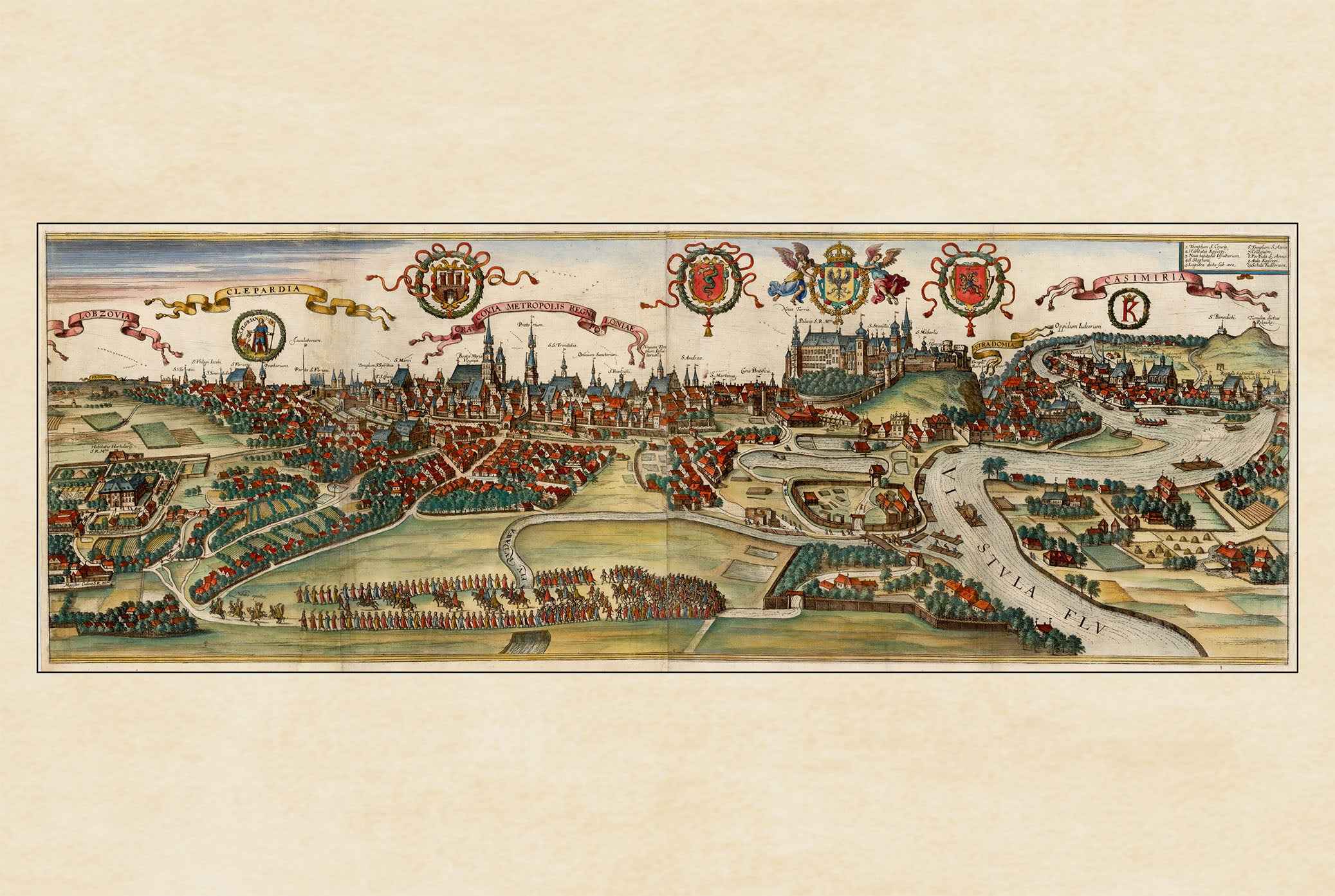
One of the map's most fascinating features is the inclusion of four historical inset maps illustrating the expansion of Poznań during key periods of its history. These plans show the city in 1655, 1793, 1803, and 1870, allowing viewers to trace centuries of urban growth from a fortified medieval town to one of Poland's most important regional capitals.
Originally prepared for the Atlas of the Poznań and Pomeranian Voivodeships, this map reflects the outstanding reputation of Eugeniusz Romer's cartographic school, celebrated for its scientific accuracy, clarity, and exceptional print quality. Today it serves as both a valuable historical document and an elegant piece of vintage wall art.
Perfect for historians, architects, genealogists, urban planners, collectors, and anyone with a connection to Poznań or Greater Poland, this vintage city map makes a sophisticated addition to offices, libraries, studies, or contemporary interiors.
This is a reproduction print of a historical map