


Author: Frederick de Wit
Year: 1682
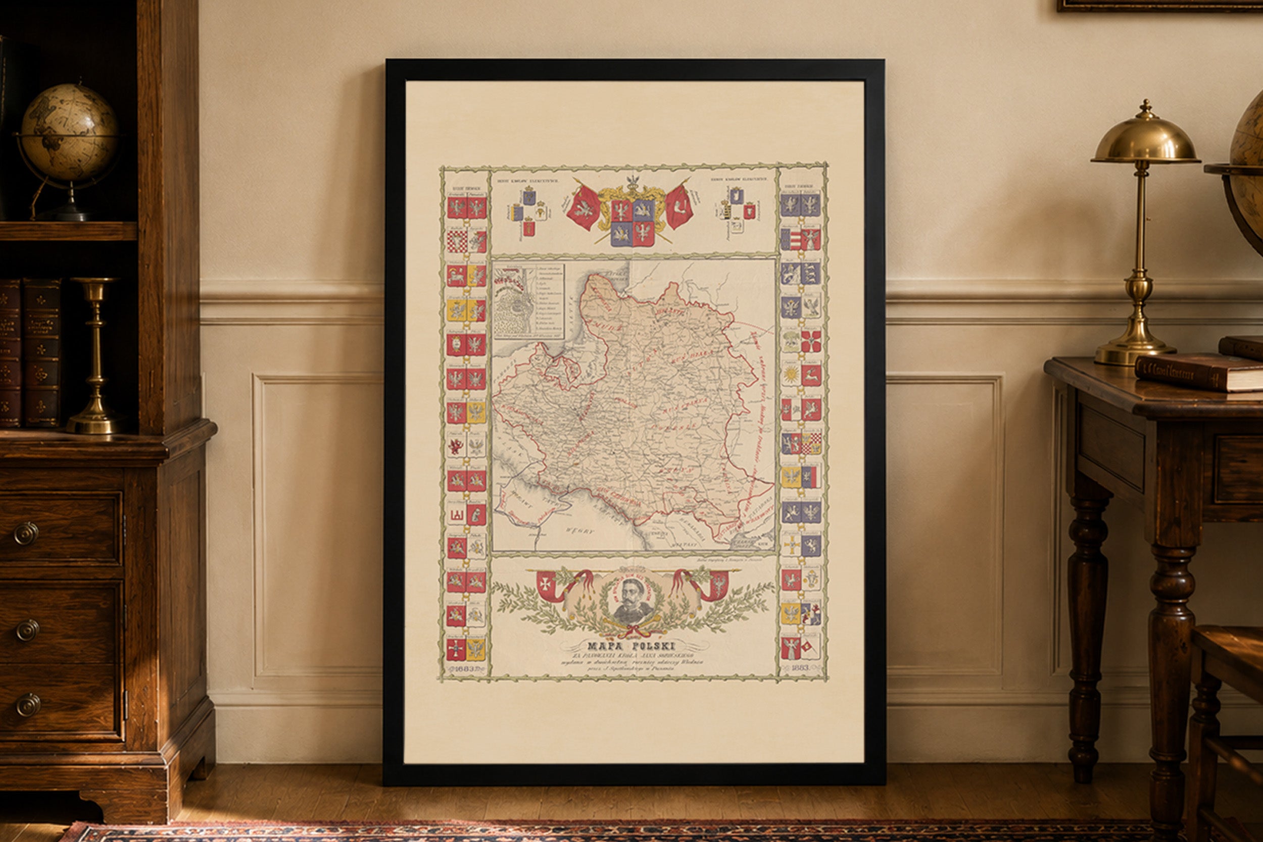
This is a reproduction print of the historical map “Regni Poloniae et Ducatus Lithuaniae”, created by Frederick de Wit in 1682 and published as part of his world atlas. This beautifully detailed Baroque map depicts the Kingdom of Poland and the Grand Duchy of Lithuania, the two principal components of the Polish-Lithuanian Commonwealth.
The map presents Poland, Lithuania and neighboring regions in the late 17th century, including territories corresponding to parts of modern Latvia and the Kaliningrad region. Historical political boundaries are distinguished by delicate hand-colored outlines, while numerous cities, towns, rivers and geographical features illustrate the complex landscape of Central and Eastern Europe during the Commonwealth's era.
Particularly distinctive is the elaborate Baroque title cartouche decorated with cherubs, accompanied by sailing ships and sea monsters in the Baltic Sea. The map also features gold embellishments and handwritten marginal annotations, suggesting that this particular atlas copy received special decorative treatment. These artistic elements reflect the celebrated traditions of the Dutch Golden Age of cartography.
Originally measuring approximately 57 × 49 cm and produced at a scale of 1:2,900,000, the map combines geographical detail with rich 17th-century ornamentation. Its elegant coloring, decorative maritime imagery and historical depiction of the Commonwealth make it a remarkable example of Baroque European cartography.