


Author: Petrus Bertius, based on Claudius Ptolemy and Gerhard Mercator
Year: 1618
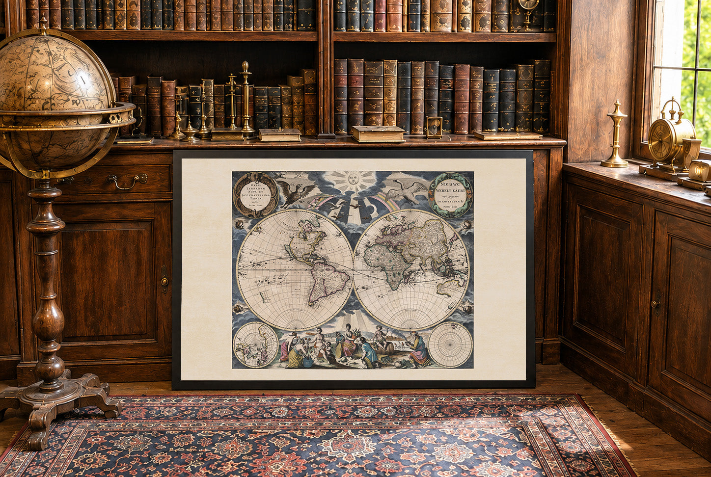
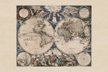
This is a reproduction print of the historical map “Vniversalis tabvla ivxta Pteolemaeum”, created for Petrus Bertius’s Theatrum geographiae veteris and published in 1618 by Isaacus Elzevirius and Iudocus Hondius.
The hand-colored map presents the world according to Ptolemaic geography, focusing on Europe, Asia, and Africa as understood in classical geographical tradition. Latin place names, pictorial mountains, rivers, and detailed coastlines illustrate the geographical knowledge of the period.
The elaborate decorative border features colorful scrollwork and cherubic figures, creating a striking contrast with the scholarly cartographic content. The map is a fascinating example of the continued influence of ancient geography on early 17th-century European cartography.