
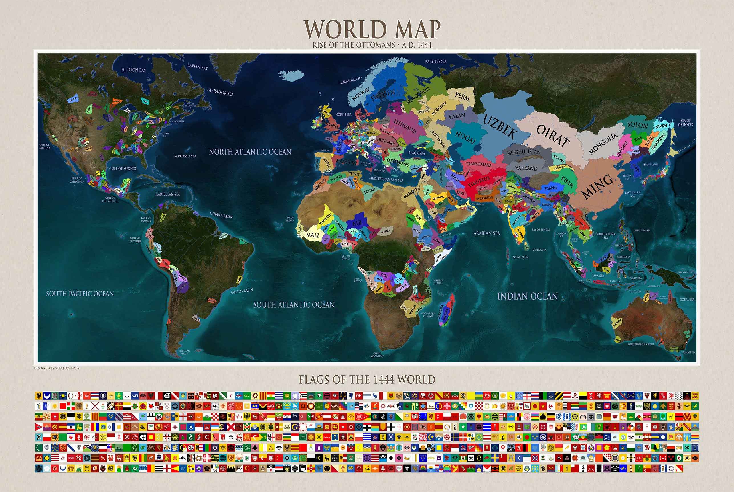
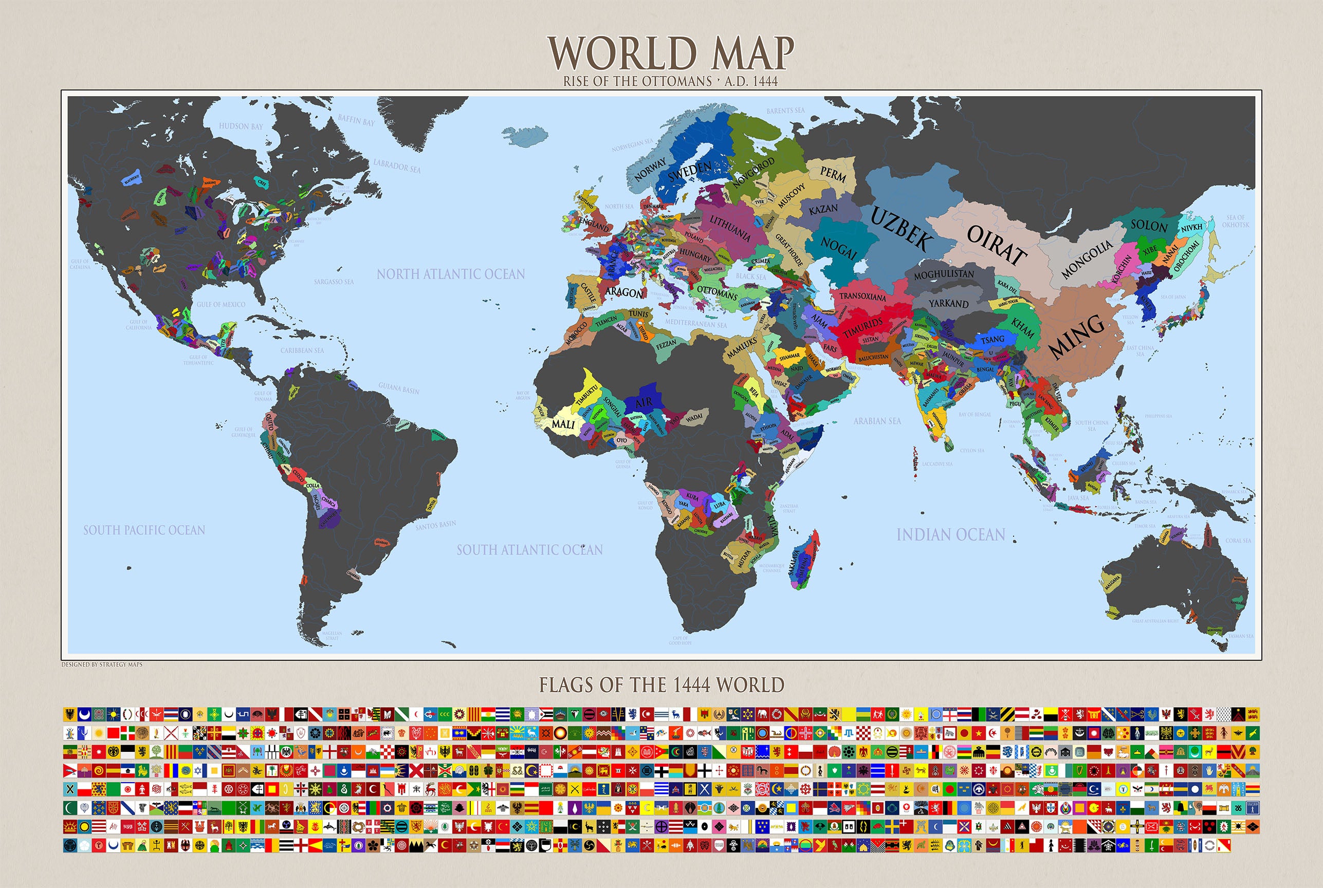


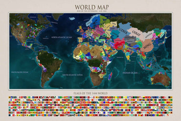
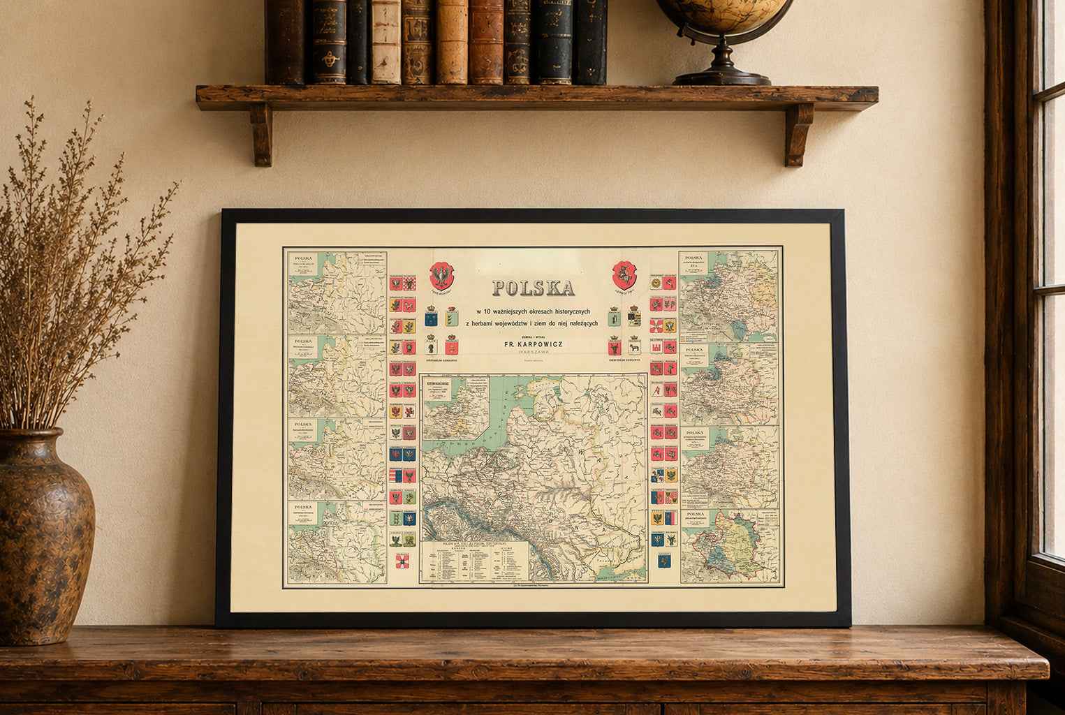
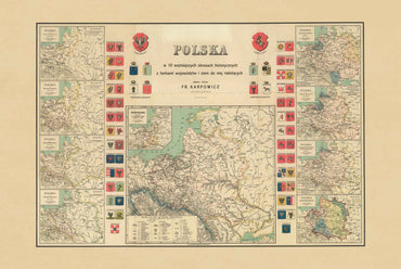
Dzieło zatytułowane „Polonia et Silesia”, stworzone przez Gerhard Mercator i opublikowane przez Hendricus Hondius w 1623 roku, stanowi mapę atlasową będącą częścią atlasu świata, przedstawiającą obszar Polski i Śląska. Mapa jest precyzyjnie wykonanym miedziorytem, typowym dla kartografii wczesnego XVII wieku. Zastosowanie kolorów podkreśla granice oraz elementy geograficzne, zwiększając czytelność opracowania. Zawiera ozdobny kartusz, który pełni funkcję dekoracyjną i prezentuje tytuł „Polonia et Silesia”. Kartusz jest bogato zdobiony ornamentami, odzwierciedlając styl artystyczny epoki.


This map is amazing and very very high quality. Referred a friend to the service and will be sure to order more.
Thank you for adding my family heritage to your site!
I ordered this to hang up next to some photos from a trip to Portugal and I'm very happy with it. Its a great looking map and the quality of the print does it justice. The service was very prompt, my order printed and shipped in under 48 hours and arrived in under a week.
Excellent print, the fabric also is really nice and robust. Absolutely recommended

So many great options but in the end I choose these two, really glad I did.

Very happy with this purchase, it looks great in my living room!
