


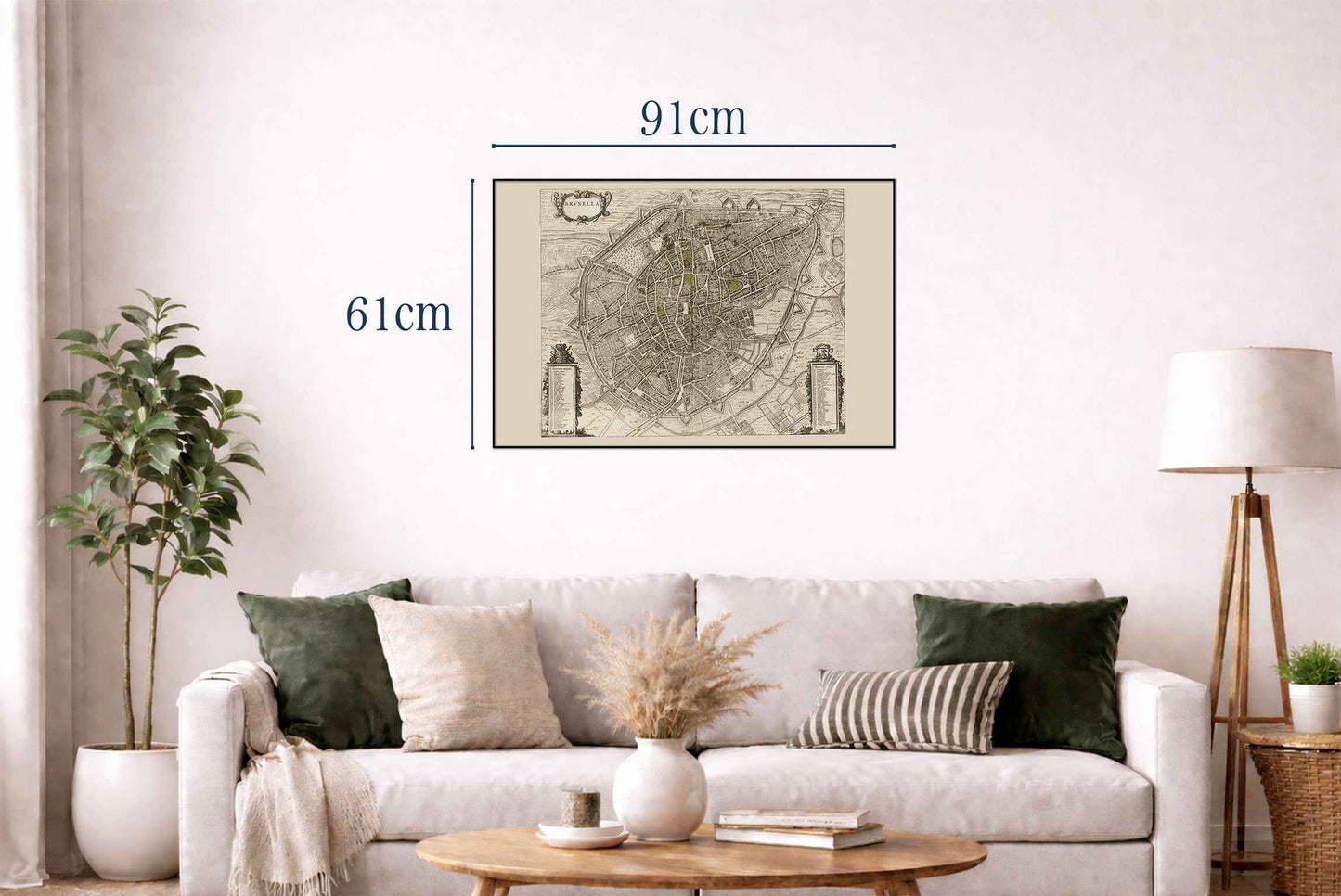
L'image représente « Bruxella », une carte de Bruxelles, réalisée par Joan Blaeu et Willem Janszoon Blaeu, publiée en 1652. Cette œuvre fait partie de « Toonneel der Steeden van s'Konings Nederlanden, met hare Beschryvingen » de Blaeu, un atlas urbain du milieu du XVIIe siècle. Composition et support : La carte est une illustration gravée, typique de l'époque, caractérisée par une grande minutie et précision. La facture reflète les standards élevés de l'art cartographique de l'âge d'or hollandais, en soulignant à la fois la fonctionnalité et l'esthétique.




Rotterdam is always 5 stars.
The quality of the canvasses are great!
Le mappe sono piene di particolari, davvero delle bellissime stampe.