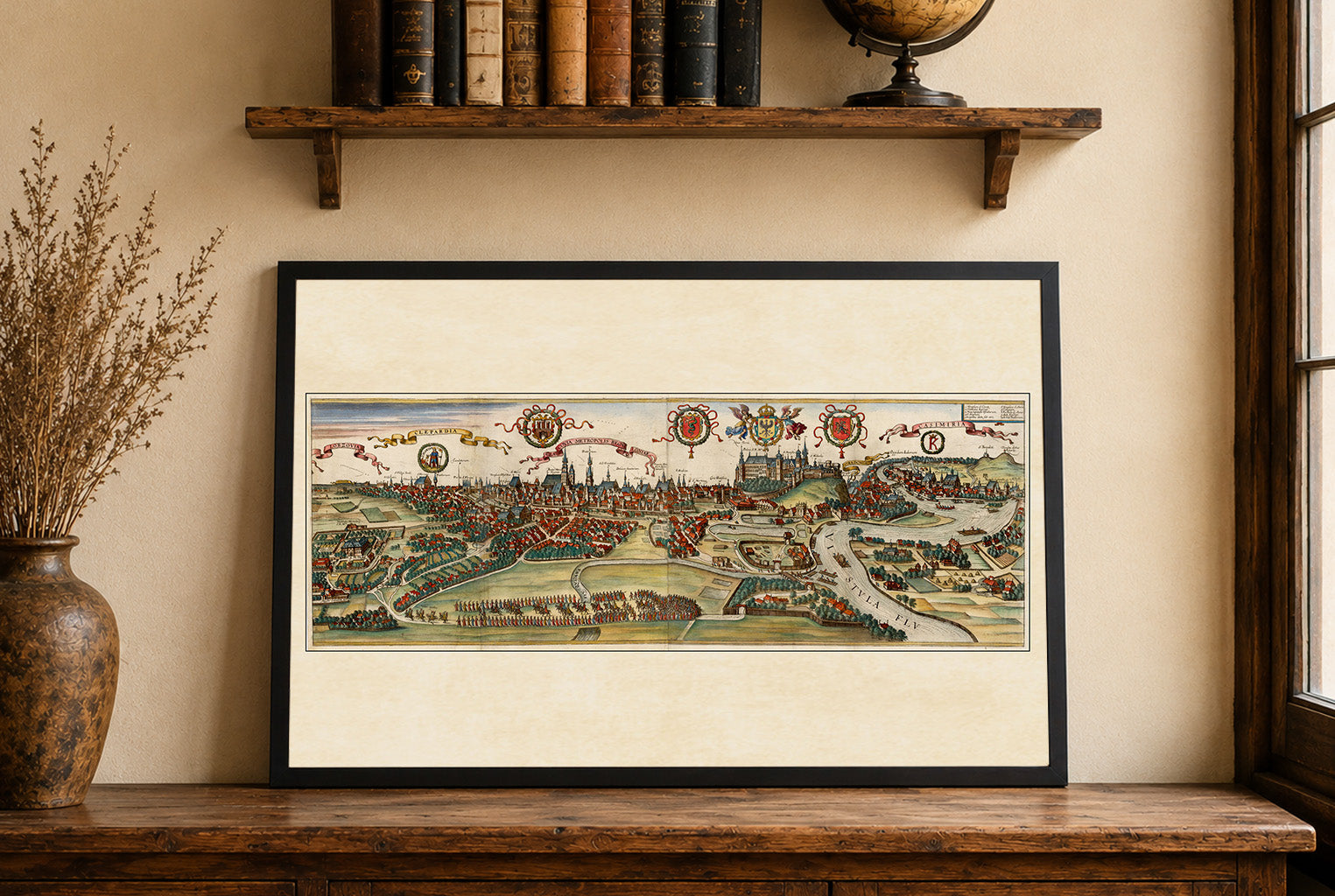
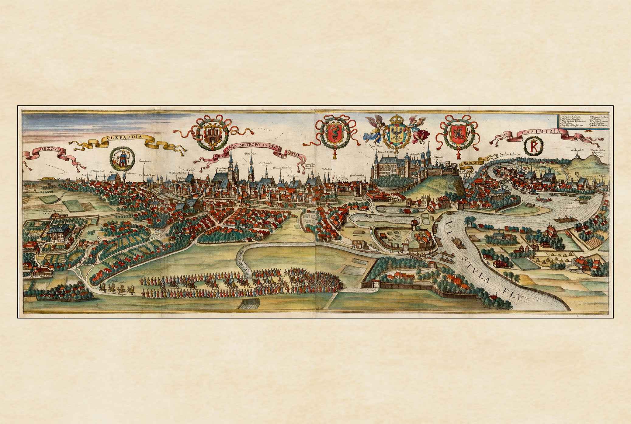
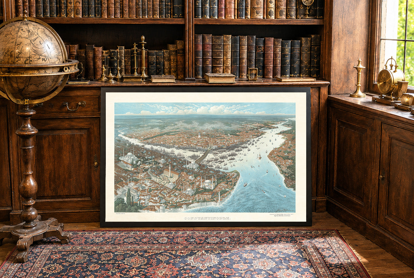
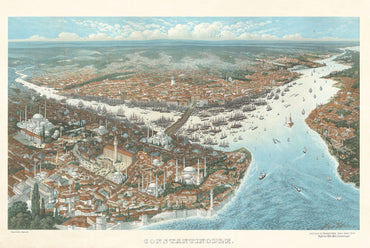
Przedstawiona praca to szczegółowa mapa Brugii, stworzona przez Joana Blaeu i Willema Janszoona Blaeu. Mapa, datowana na 1652 rok, jest częścią większego atlasu zatytułowanego „Toonneel der Steeden van s'Konings Nederlanden, met hare Beschryvingen”, wydanego przez Joana Blaeu. Mapa jest misternie grawerowanym przedstawieniem Brugii, ukazującym miasto z lotu ptaka. Jest częścią atlasu, który łączy precyzję kartograficzną z artystycznymi zdobieniami, charakterystycznymi dla holenderskiego Złotego Wieku kartografii. Medium to prawdopodobnie rycina, powszechna w przypadku map z tej epoki ze względu na poziom szczegółowości osiągalny dzięki grawerowaniu.


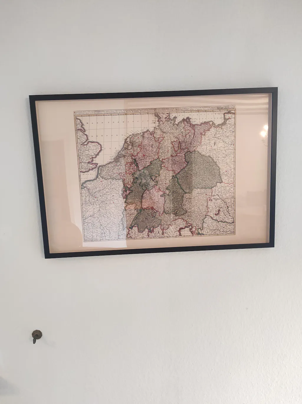
Great quality print, only when I got it i had correct the frame it was not put in properly, otherwise great.
Thank you. Map looks great. Much appreciated.
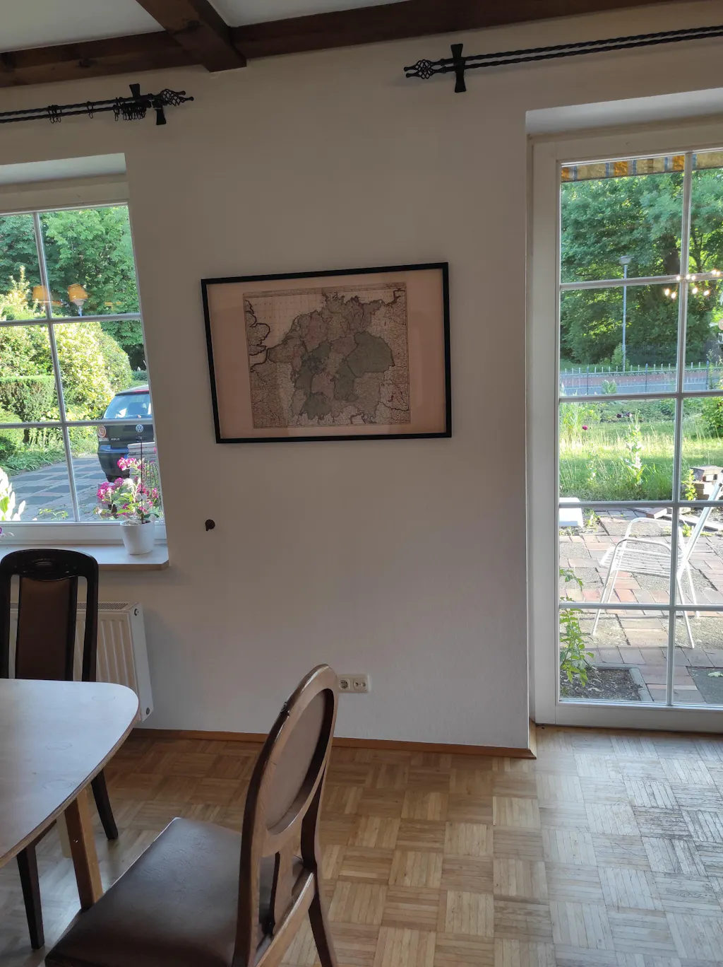
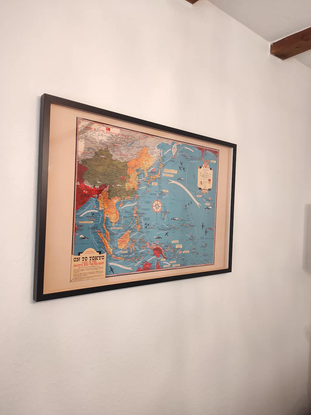
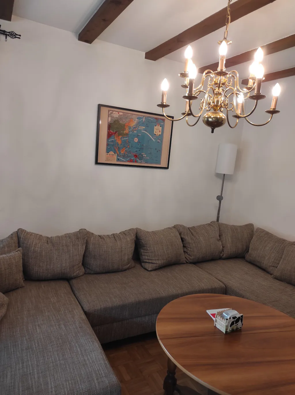
The Map arrived a few days ago but the shipment was really fast. Today I pinned them to the Wall. And the quality is impressive. The Frame is of a good quality, and the Map itself is also really good, feels like real fabric and not just thin paper. Exactly that what I expected a Professional Product to be.
The Shipment went really quick. I had the map at home in 2 days, even though I ordered it in the Evening. Also the payment was easy, I asked if I could pay with PayPal and Zlewikk made that Possible. I really appreciate that.
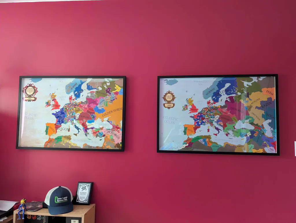
And the quality of the map is amazing. I can read all the Citynames of my home region, that is really impressive.