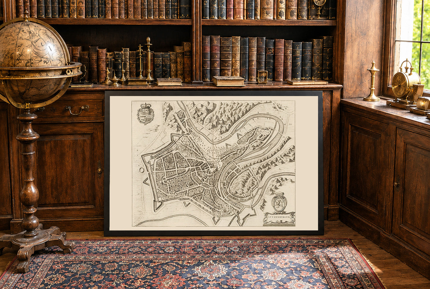
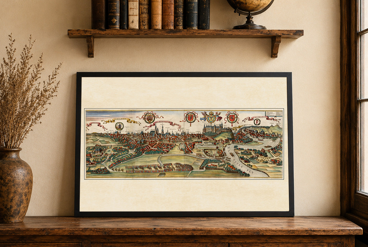
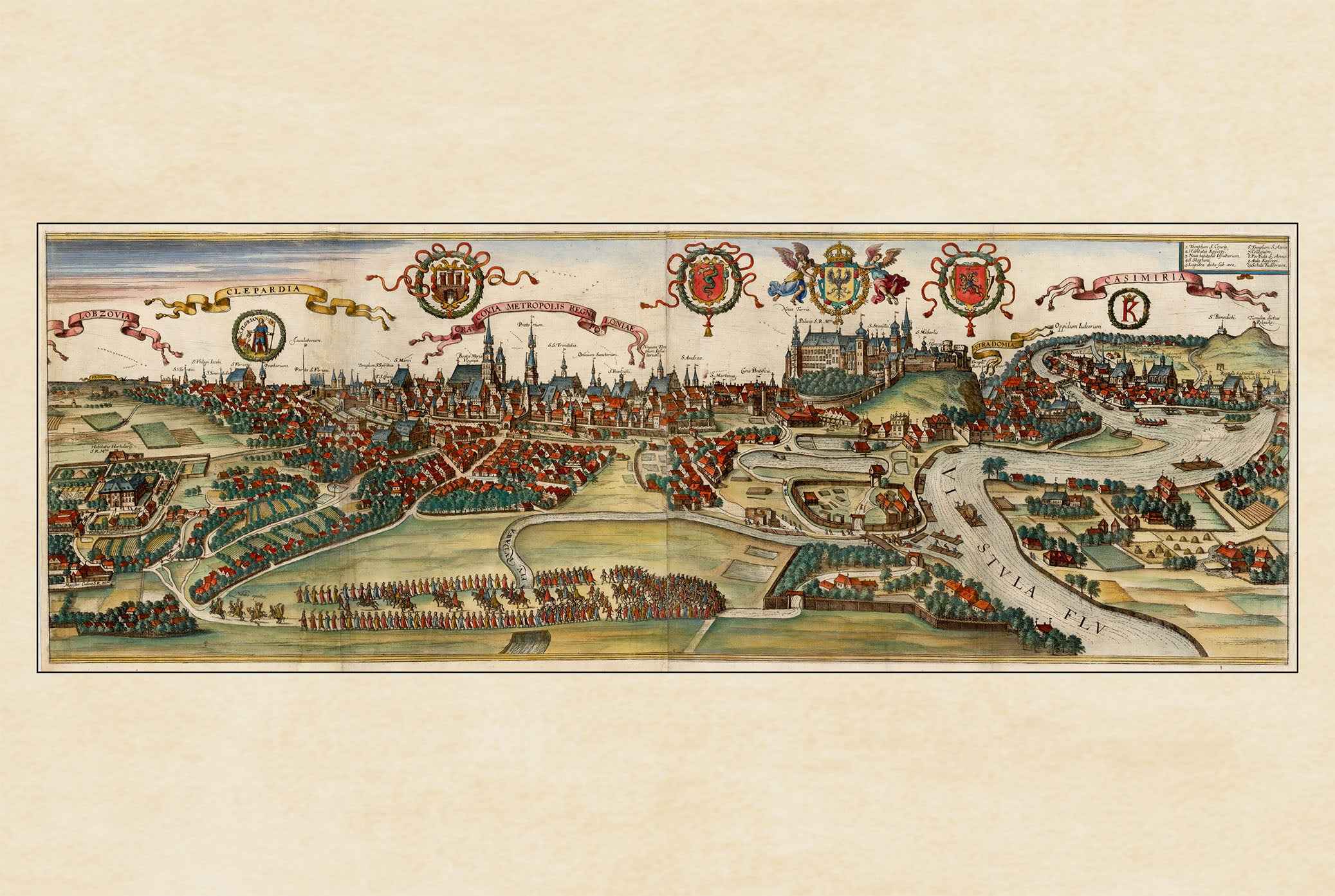
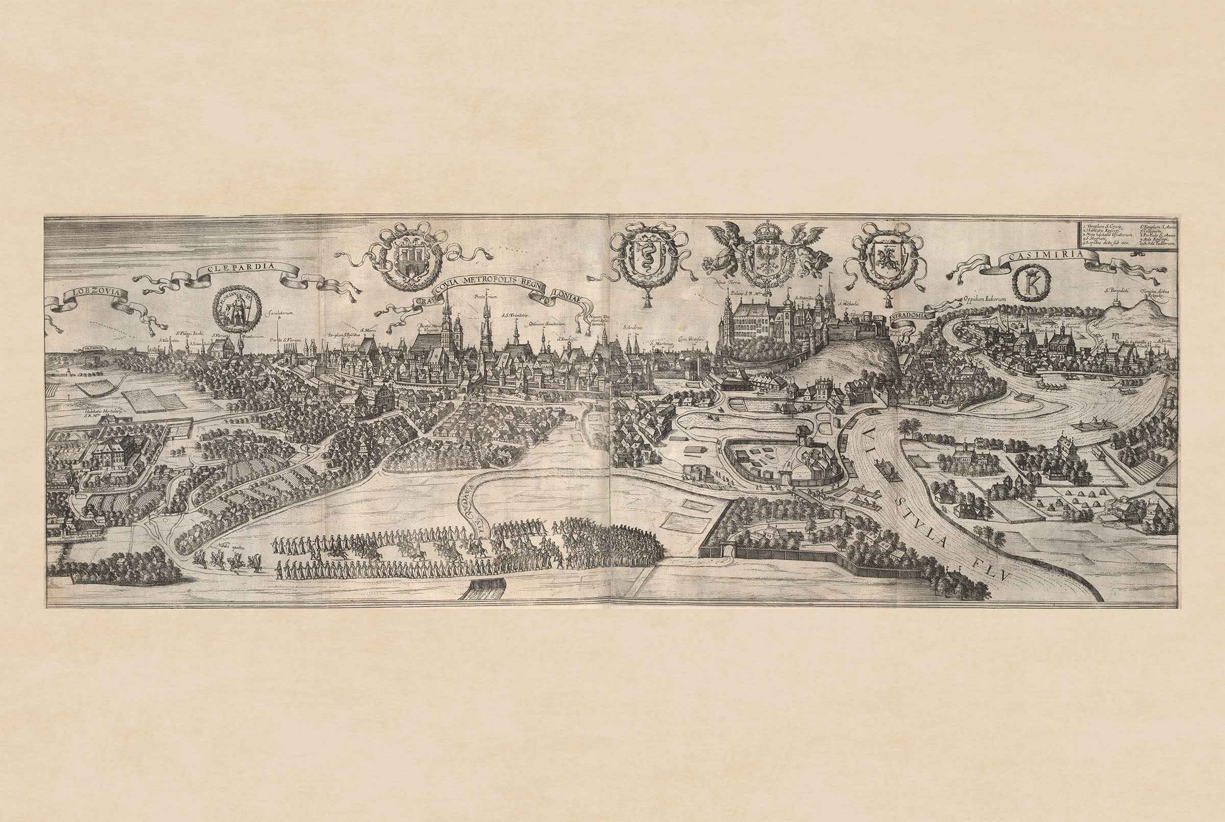
Ten obraz to historyczna mapa zatytułowana „Lutzenburgum”, stworzona przez Joana Blaeu i Willema Janszoona Blaeu w 1652 roku. Została ona zamieszczona w drugim tomie atlasu miast Blaeu, „Toonneel der Steeden van s'Konings Nederlanden, met hare Beschryvingen” (Teatr miast Niderlandów króla, z ich opisami). Mapa przedstawia szczegółowy, perspektywiczny grawer miasta Luksemburg. Zawiera skomplikowane przedstawienia układu urbanistycznego, w tym ulic, budynków i fortyfikacji. Styl jest charakterystyczny dla niderlandzkiej tradycji kartograficznej XVII wieku, łączącej precyzję z artystycznym ozdobieniem. Elementy dekoracyjne, takie jak herby i kartusze, podkreślają jej walory wizualne.


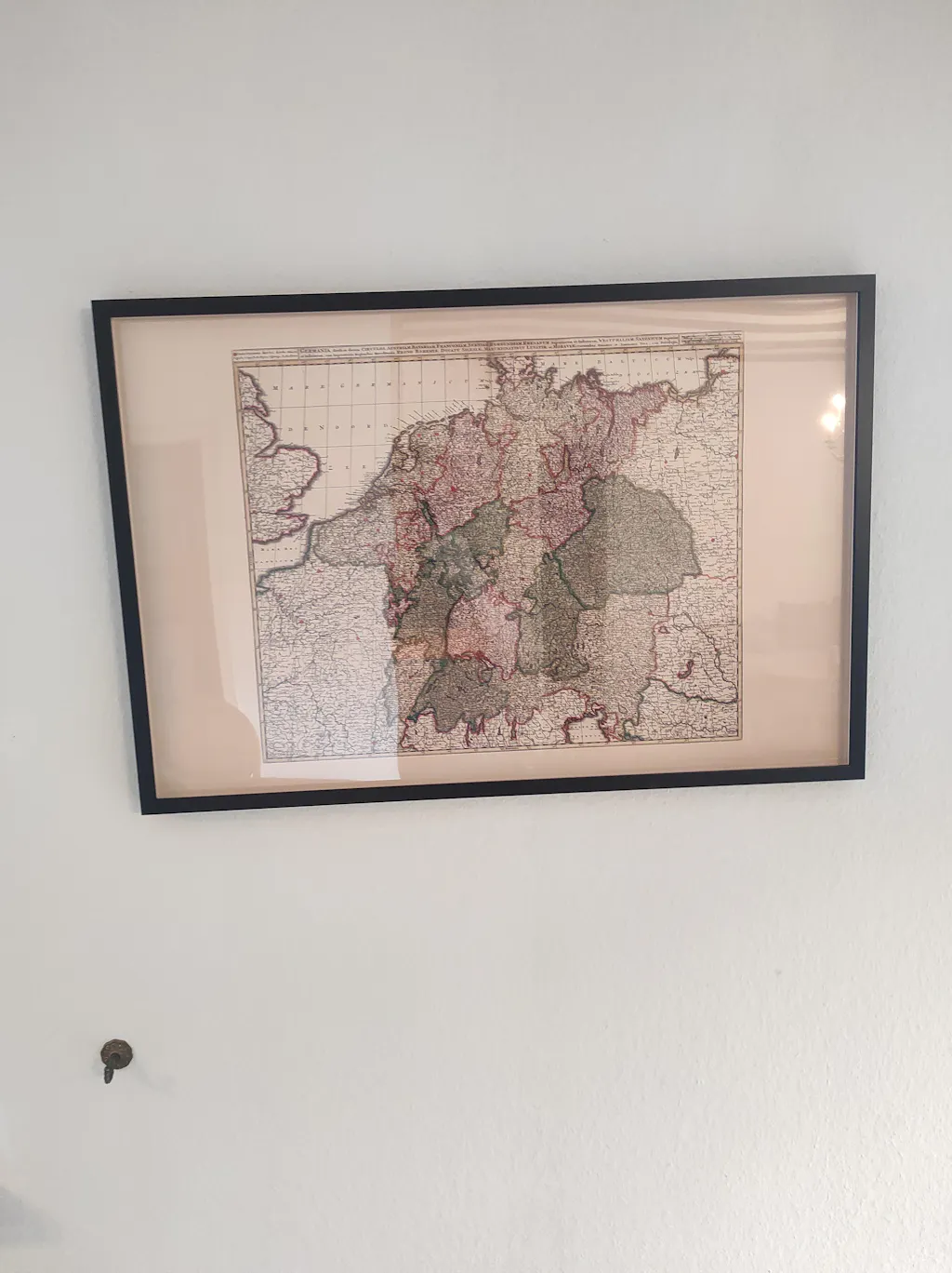
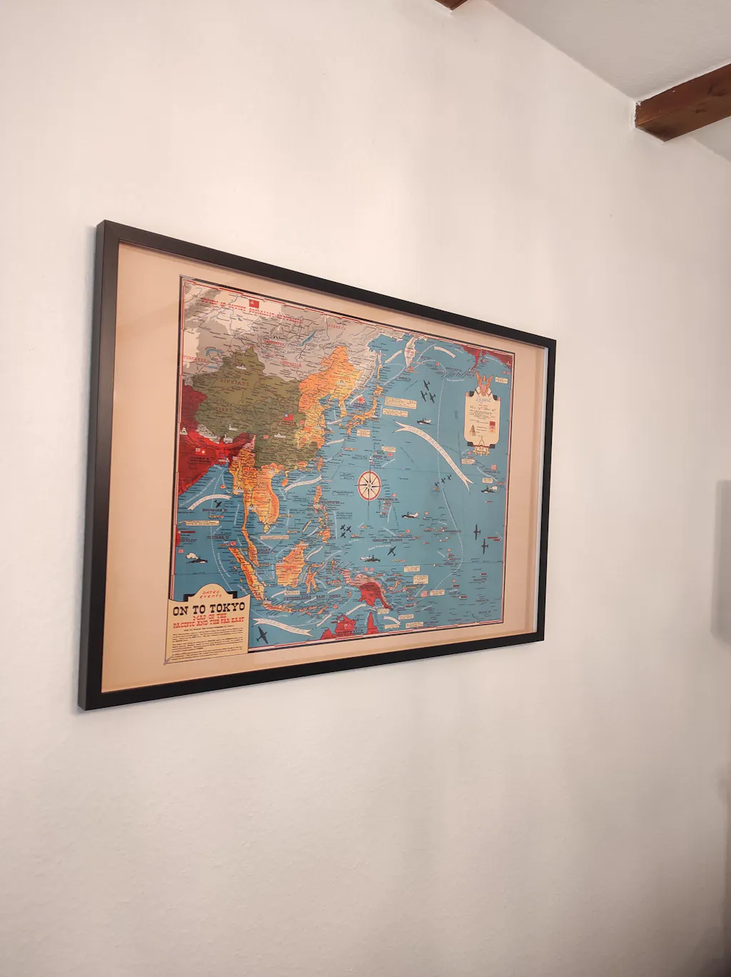
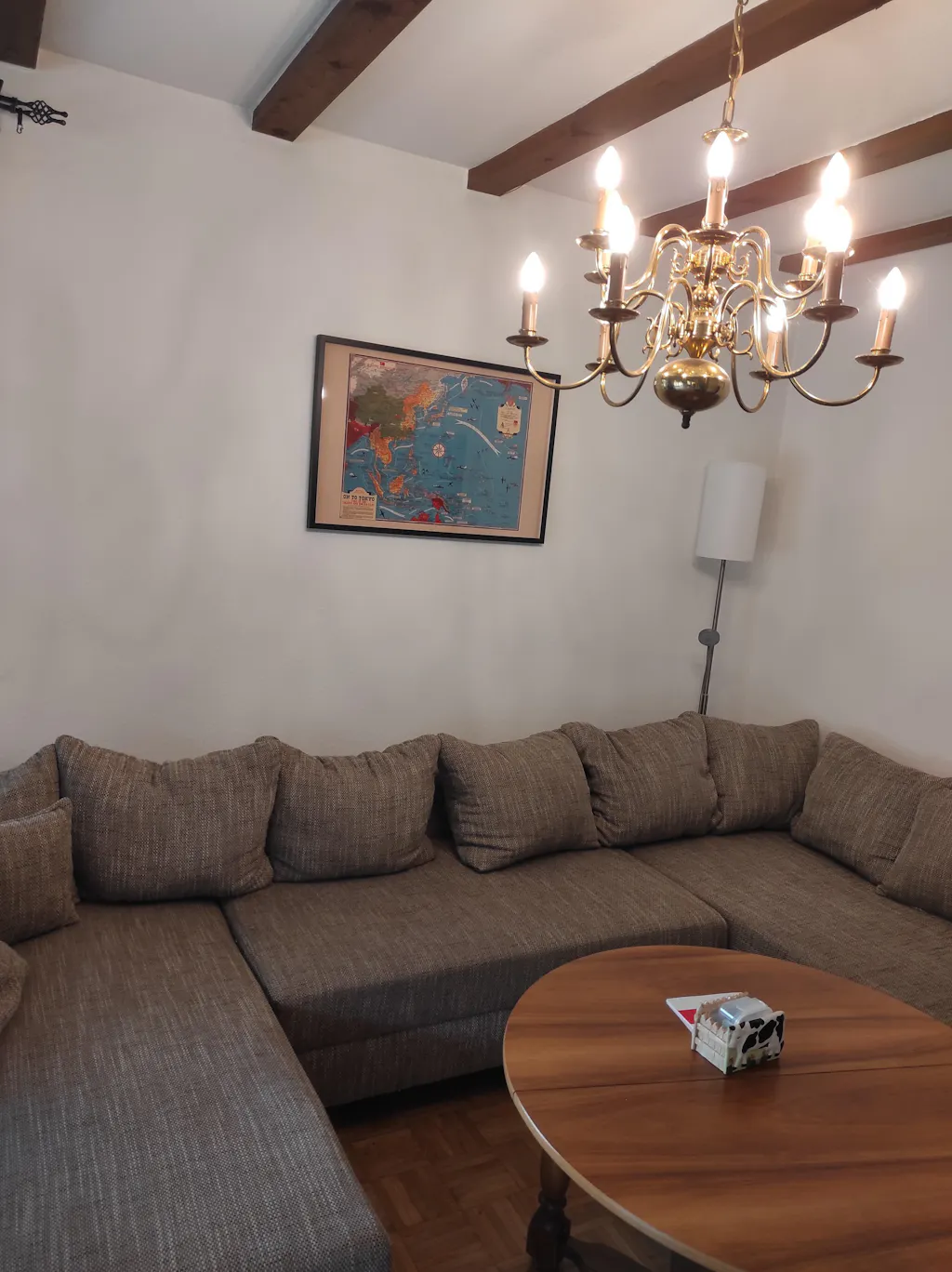
Great quality print, only when I got it i had correct the frame it was not put in properly, otherwise great.
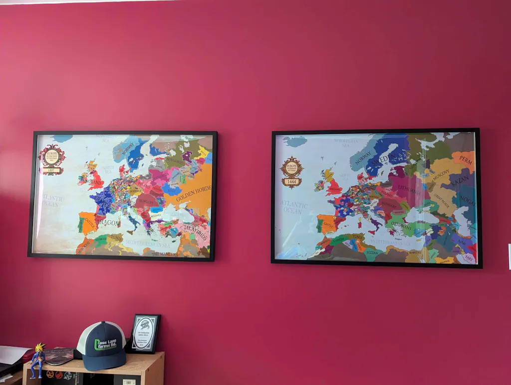
Thank you. Map looks great. Much appreciated.
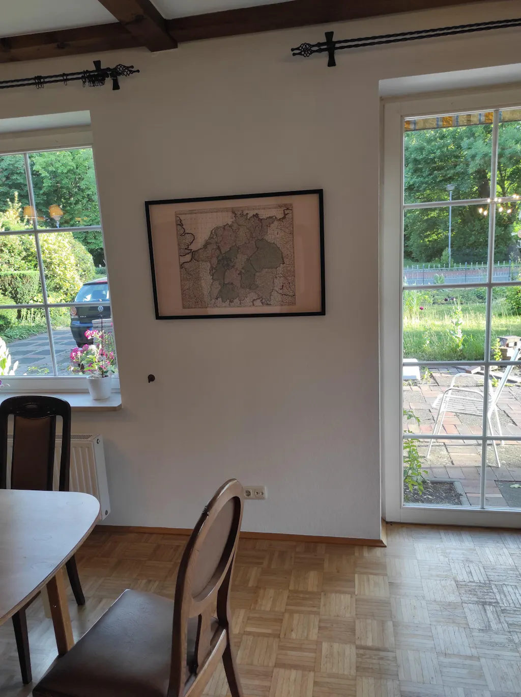
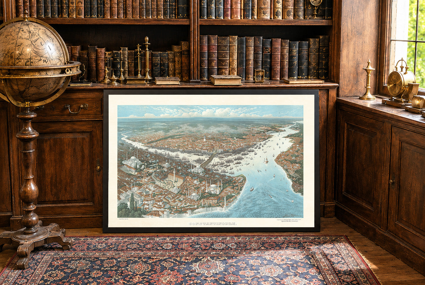
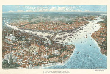
The Map arrived a few days ago but the shipment was really fast. Today I pinned them to the Wall. And the quality is impressive. The Frame is of a good quality, and the Map itself is also really good, feels like real fabric and not just thin paper. Exactly that what I expected a Professional Product to be.
The Shipment went really quick. I had the map at home in 2 days, even though I ordered it in the Evening. Also the payment was easy, I asked if I could pay with PayPal and Zlewikk made that Possible. I really appreciate that.
And the quality of the map is amazing. I can read all the Citynames of my home region, that is really impressive.