


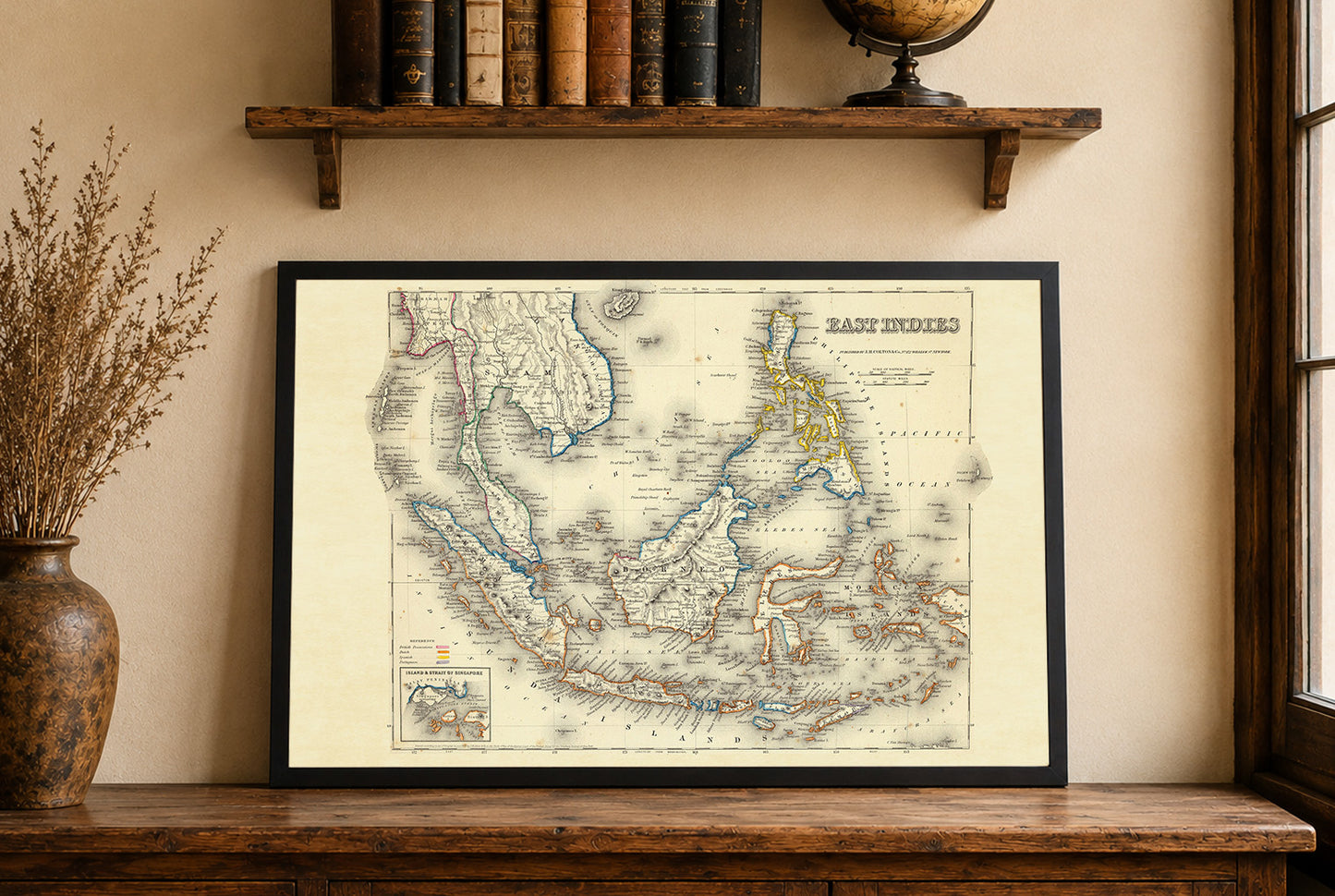
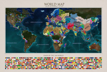
Ta mapa, zatytułowana „Indie Wschodnie”, została opracowana przez G.W. Colton i opublikowana przez J.H. Colton & Co. w 1856 roku. Ta konkretna mapa wyróżnia się szczegółowym przedstawieniem Indii Wschodnich, regionu obejmującego współczesną Azję Południowo-Wschodnią i części Pacyfiku. Mapa jest wydrukowana w pełnym kolorze, z obrysami rozróżniającymi różne posiadłości kolonialne należące do Brytyjczyków, Holendrów, Hiszpanów i Portugalczyków. Mapa posiada ozdobną ramę, typową dla kartografii z połowy XIX wieku, która otacza szczegółowe informacje geograficzne.


This map is amazing and very very high quality. Referred a friend to the service and will be sure to order more.
Thank you for adding my family heritage to your site!
I ordered this to hang up next to some photos from a trip to Portugal and I'm very happy with it. Its a great looking map and the quality of the print does it justice. The service was very prompt, my order printed and shipped in under 48 hours and arrived in under a week.
Excellent print, the fabric also is really nice and robust. Absolutely recommended

So many great options but in the end I choose these two, really glad I did.

Very happy with this purchase, it looks great in my living room!
