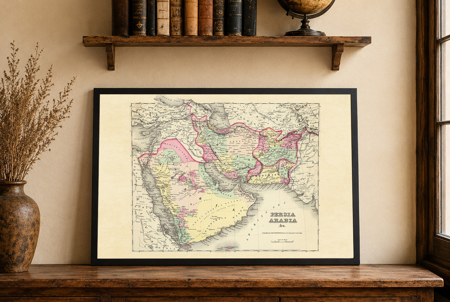
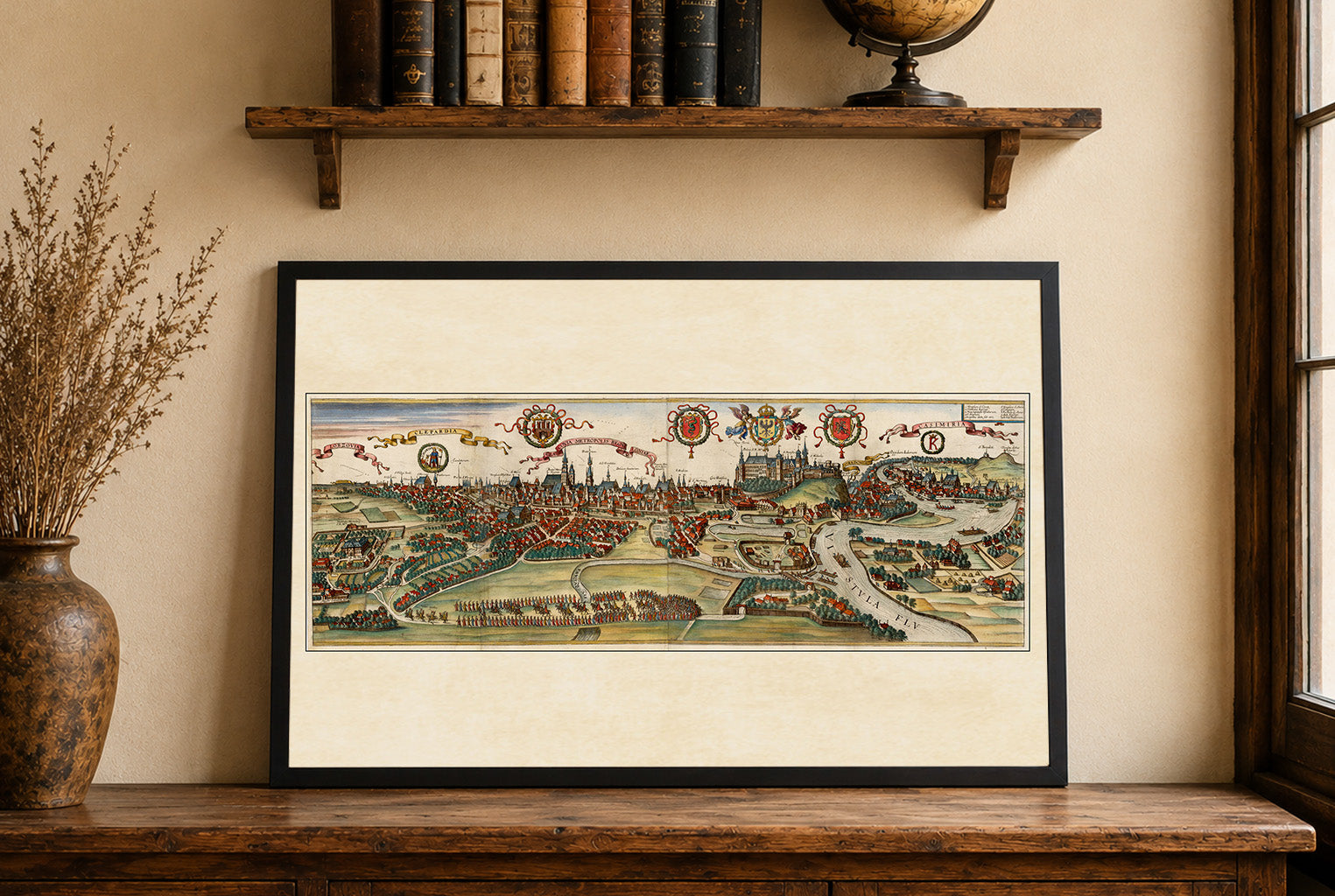
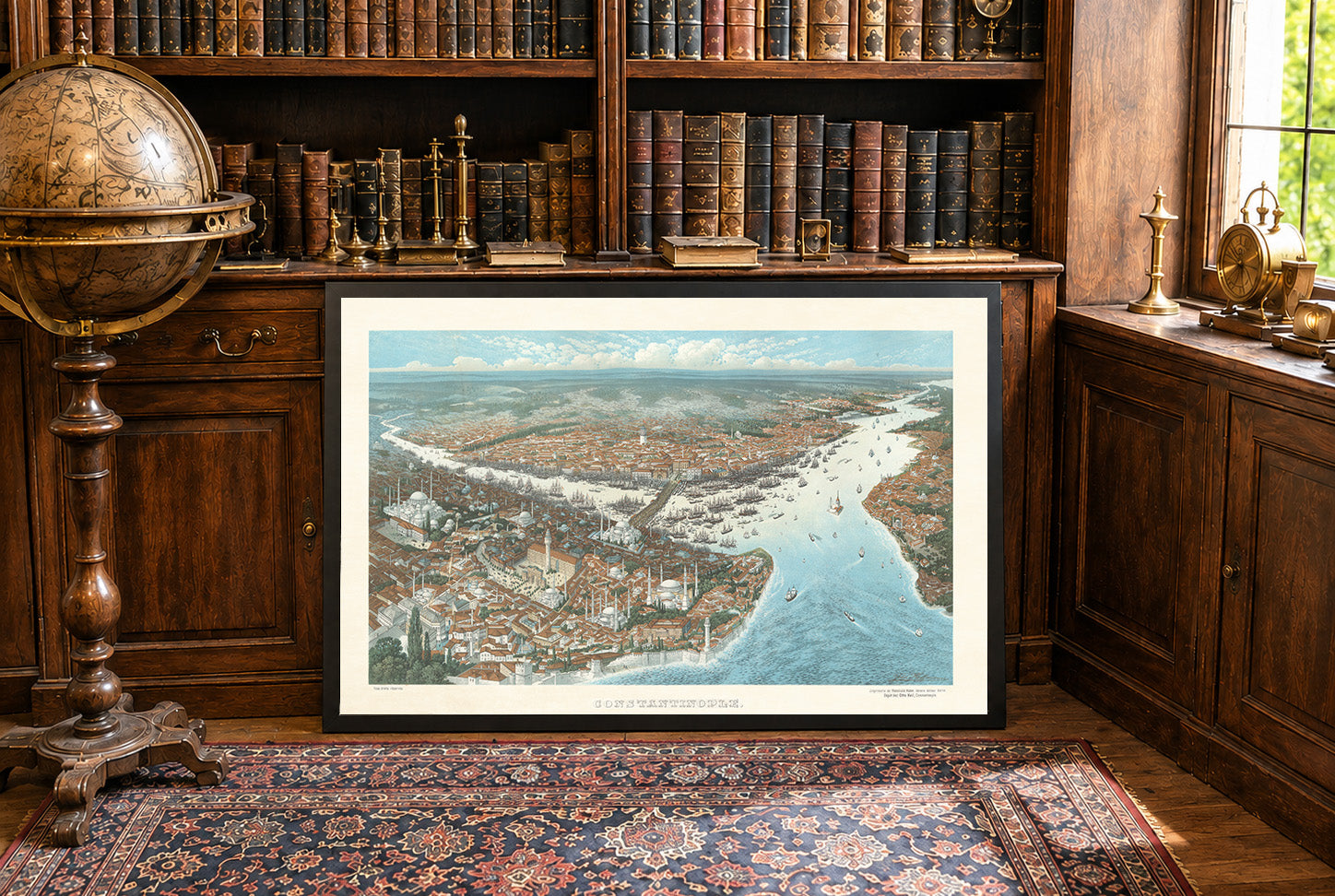
Dzieło, o którym mowa, to mapa zatytułowana "Persja Arabia & c.", stworzona przez G.W. Coltona i opublikowana przez J.H. Colton & Co. w 1856 roku. Została ona wydana jako część atlasu świata Coltona, znaczącej publikacji z połowy XIX wieku, znanej ze swojej dokładności i kompleksowego zasięgu. Mapa jest kolorową mapą atlasową, typową dla tego okresu, która szczegółowo przedstawia obszary geograficzne, w tym Persję (współczesny Iran), Arabię, Afganistan i części Pakistanu. Użycie pastelowych kolorów pomaga rozróżniać różne regiony i granice polityczne, co było powszechną praktyką w kartografii w celu poprawy czytelności i atrakcyjności wizualnej.


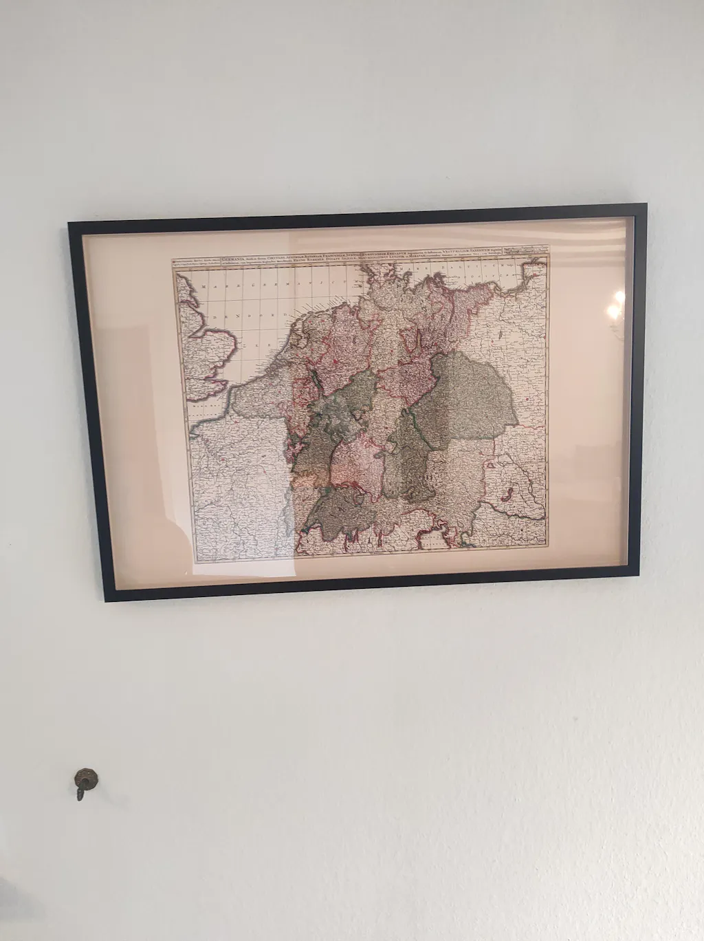
Great quality print, only when I got it i had correct the frame it was not put in properly, otherwise great.
Thank you. Map looks great. Much appreciated.
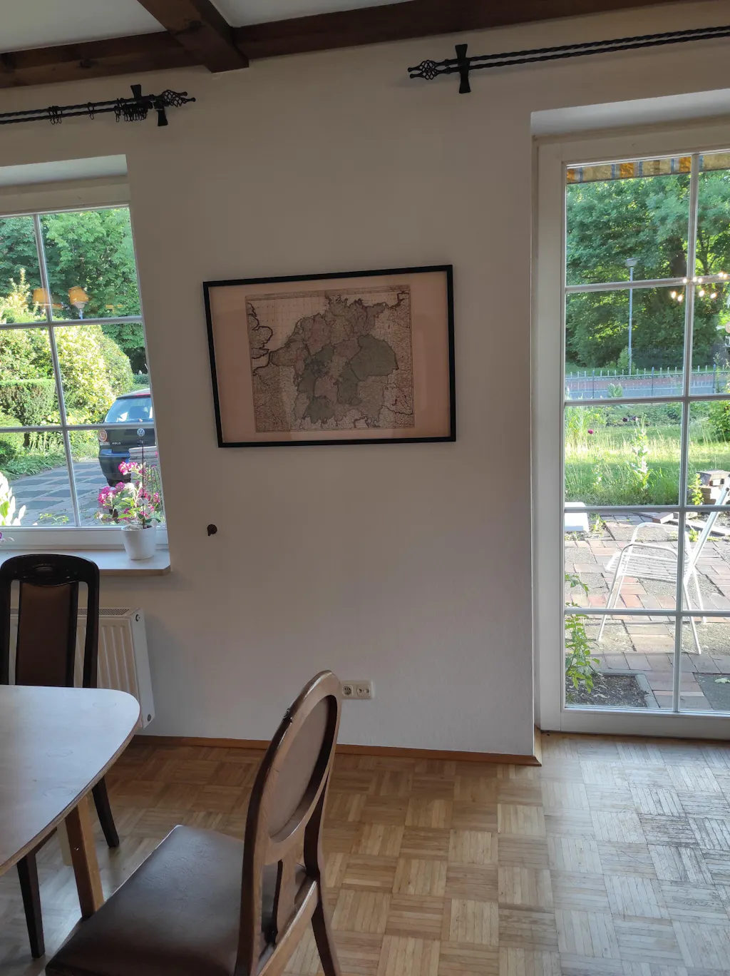
The Map arrived a few days ago but the shipment was really fast. Today I pinned them to the Wall. And the quality is impressive. The Frame is of a good quality, and the Map itself is also really good, feels like real fabric and not just thin paper. Exactly that what I expected a Professional Product to be.
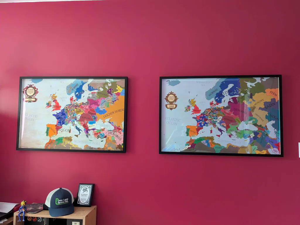
The Shipment went really quick. I had the map at home in 2 days, even though I ordered it in the Evening. Also the payment was easy, I asked if I could pay with PayPal and Zlewikk made that Possible. I really appreciate that.
And the quality of the map is amazing. I can read all the Citynames of my home region, that is really impressive.