


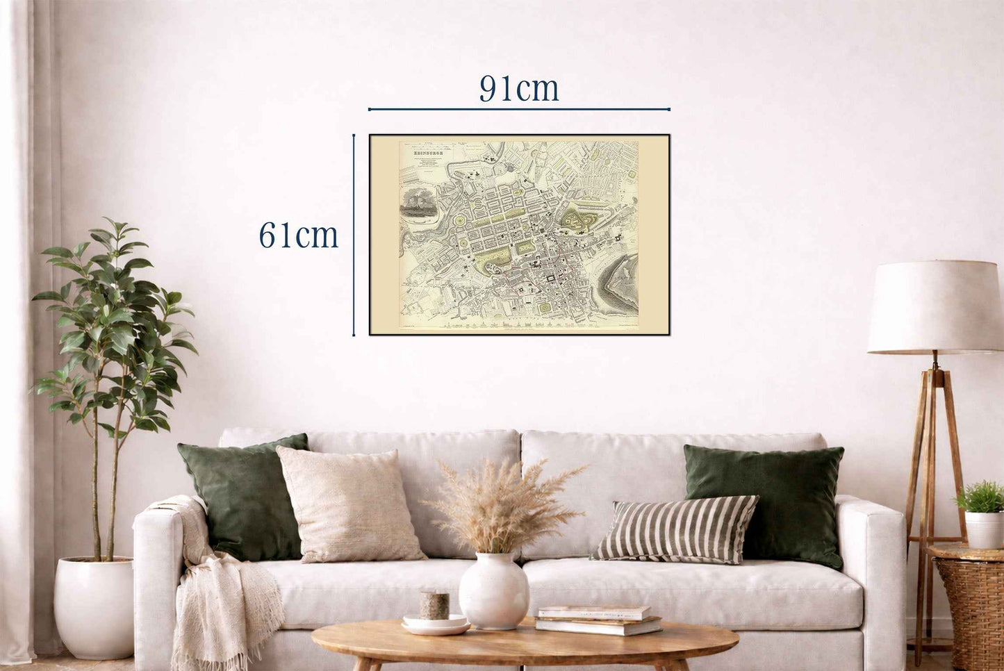
Obraz przedstawia historyczną mapę Edynburga, wykonaną pod nadzorem Society for the Diffusion of Useful Knowledge (SDUK) i opublikowaną przez Chapman and Hall 1 stycznia 1834 roku. Mapa została narysowana przez W.B. Clarke'a i grawerowana przez E. Turrella, a wydrukowana przez J. Henshalla. Ta mapa jest częścią kolekcji atlasów, znanej z szczegółowych planów miast i wartości edukacyjnej. Mapa jest grawerowanym przedstawieniem z ręcznym kolorowaniem, ukazującym Edynburg z imponującą szczegółowością. Ukształtowanie terenu jest wskazane za pomocą kreskowania, co było powszechną techniką w tamtym okresie do oznaczania wysokości.


Excellent print, the fabric also is really nice and robust. Absolutely recommended
So many great options but in the end I choose these two, really glad I did.

Very happy with this purchase, it looks great in my living room!

Great map. I gave it as a present to a friend who is really into World War 2 and he loved it. There are lots of details on the map like important battles or the straight distance between important islands and Tokyo. The quality of the frame and map are both great quality.
Incredible result, i would like to point out that during shipping the frame got damaged and we got a new one fast in perfect condition.