

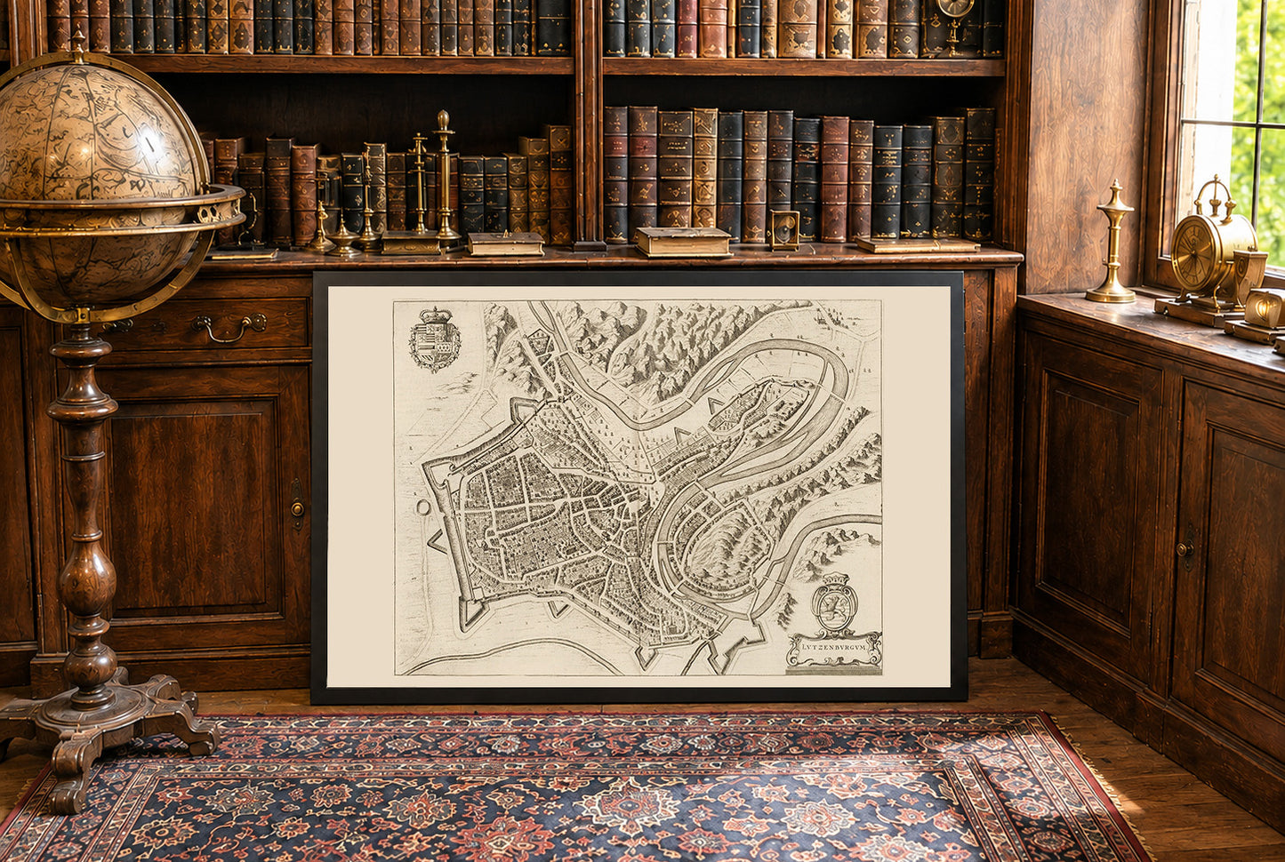
This image is a historical map titled "Lutzenburgum," created by Joan Blaeu and Willem Janszoon Blaeu in 1652. It is included in the second volume of Blaeu's city atlas, "Toonneel der Steeden van s'Konings Nederlanden, met hare Beschryvingen" (Theatre of Cities of the King's Netherlands, with Their Descriptions). The map is a detailed, bird's-eye view engraving of the city of Luxembourg. It features intricate depictions of the urban layout, including streets, buildings, and fortifications. The style is characteristic of the Dutch cartographic tradition of the 17th century, combining accuracy with artistic embellishment. Decorative elements such as coats of arms and cartouches enhance its visual appeal.




Rotterdam is always 5 stars.
The quality of the canvasses are great!
Le mappe sono piene di particolari, davvero delle bellissime stampe.