

Rotterdam is always 5 stars.
The quality of the canvasses are great!
Le mappe sono piene di particolari, davvero delle bellissime stampe.
You might like


42 items

148 items

54 items

17 items

12 items

7 items

34 items

14 items

11 items

7 items
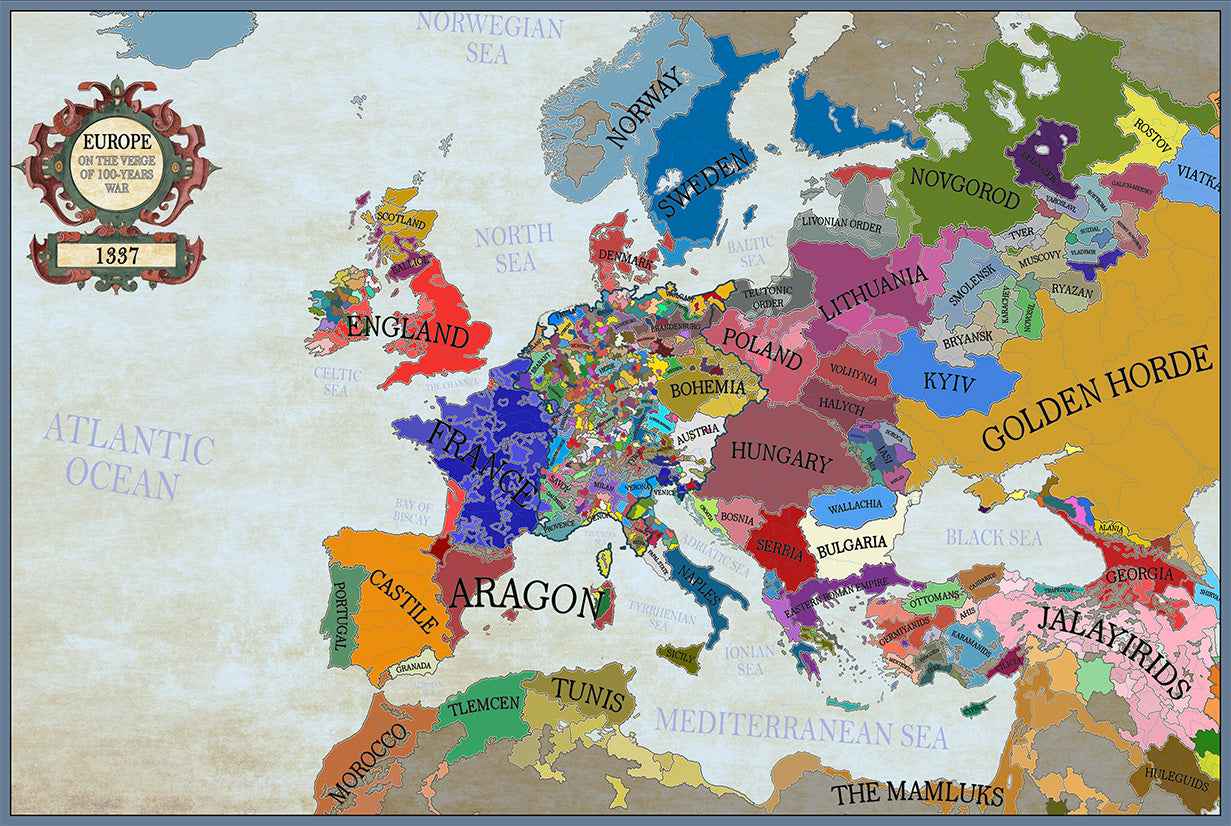
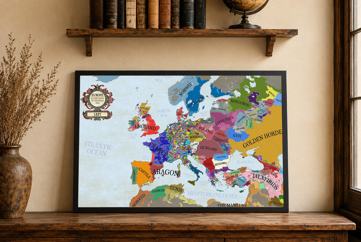
In 1337, Europe was a mosaic of kingdoms, principalities, and city-states, with major powers including the Kingdom of France, the Kingdom of England, and the decentralized...
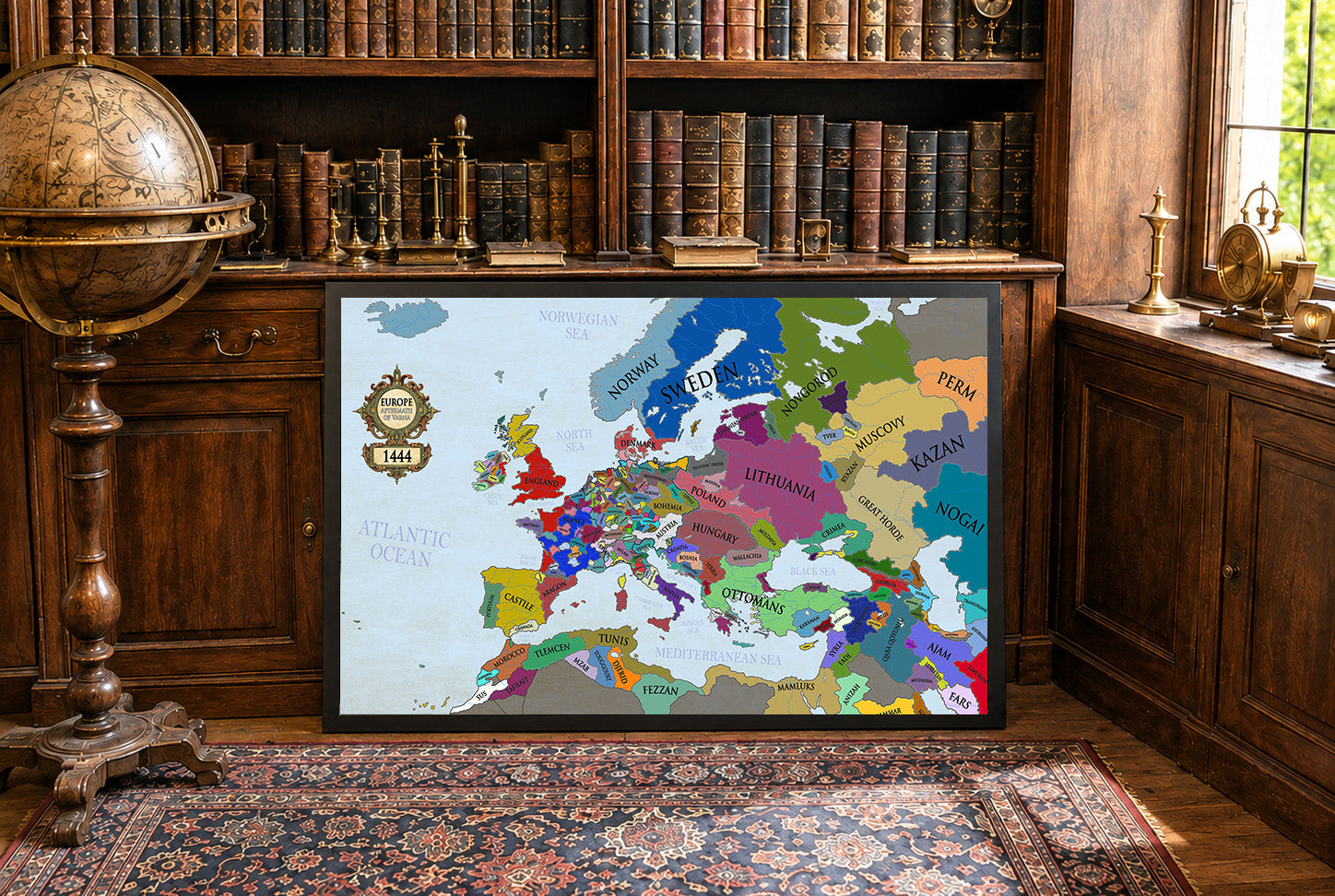
The year 1444 marked a turning point in European history, defined by shifting kingdoms, dynastic struggles, and the dramatic aftermath of the Battle of Varna. This...
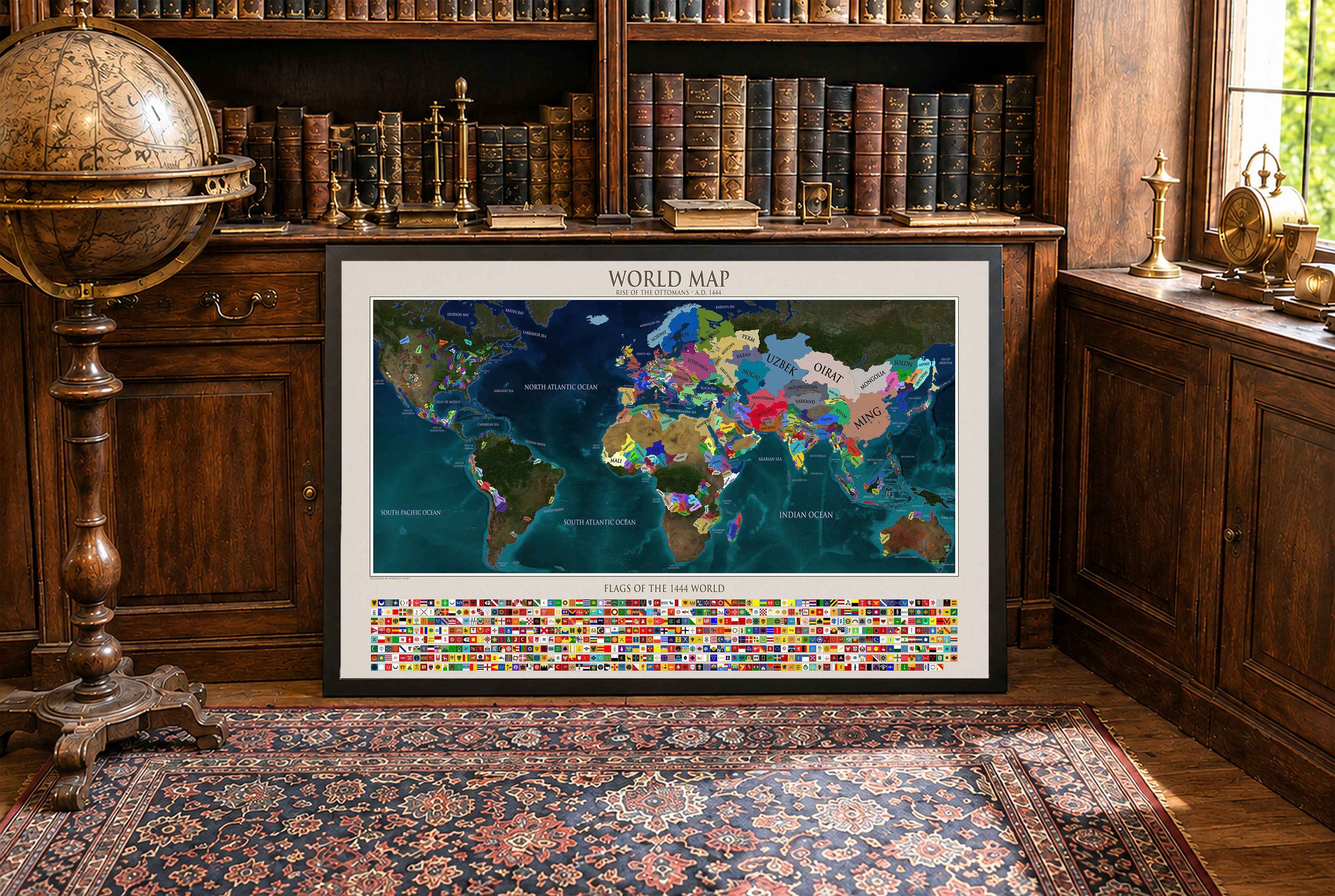
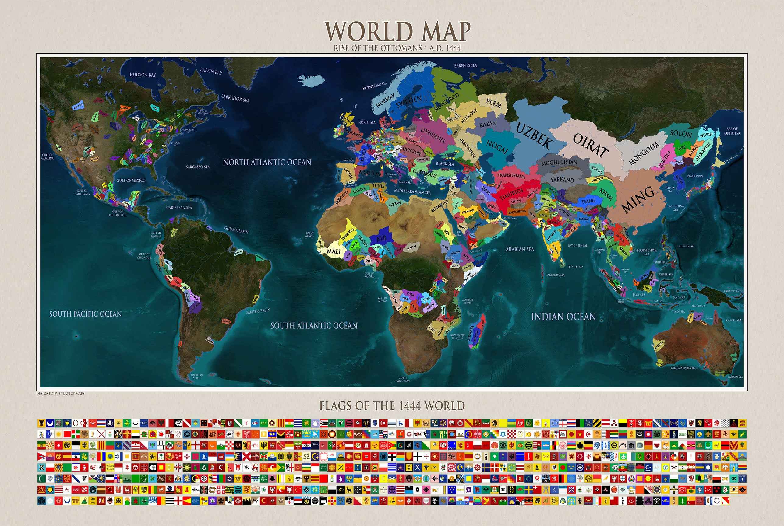
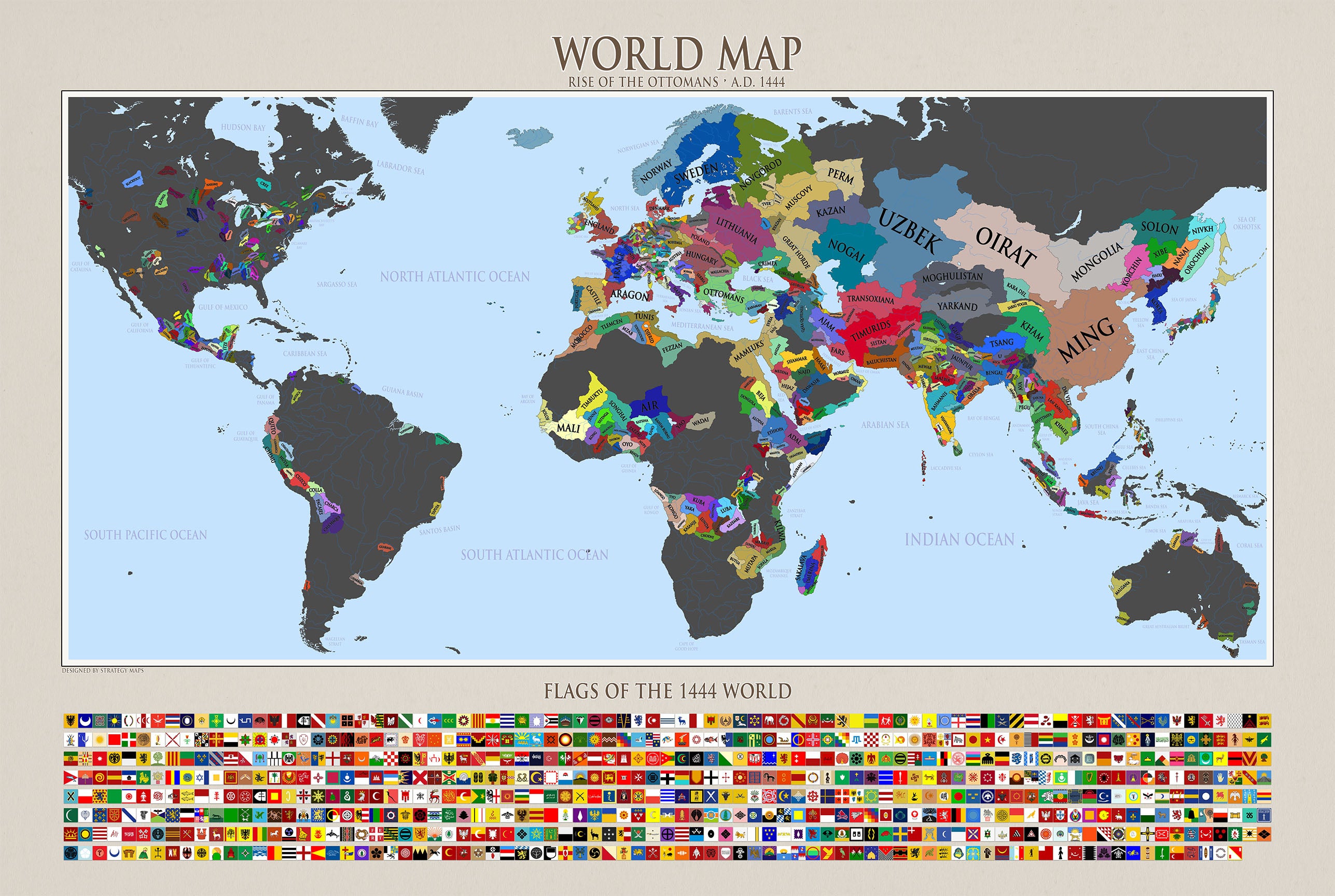
Travel back to the year 1444 with this detailed world map created by Strategy Maps. Designed from the ground up by our team, this historical political...
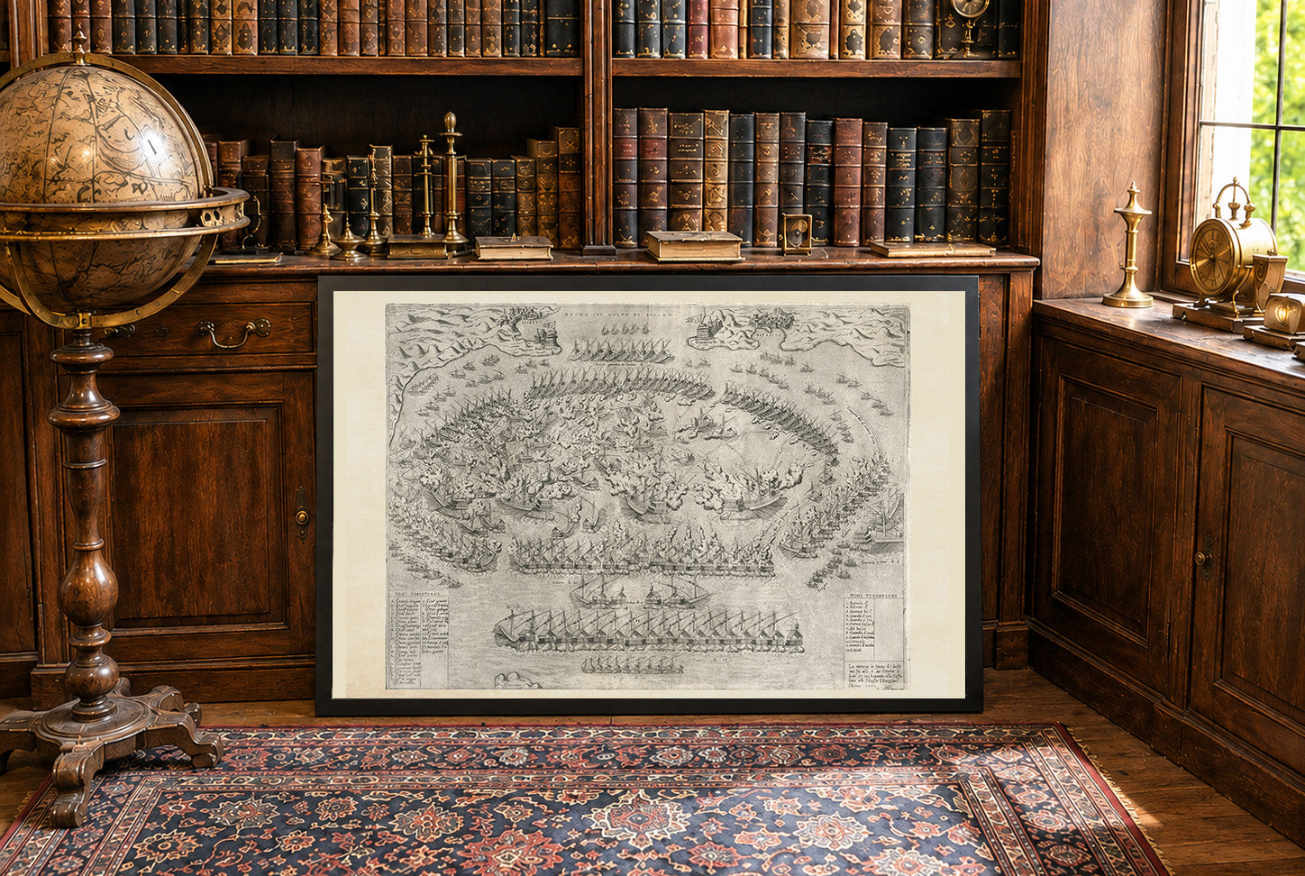
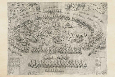
This artwork is titled "La victoria in favore di Christiani," created by Mario Cartaro and published by Antonio Lafreri in 1572. It depicts the Battle of...
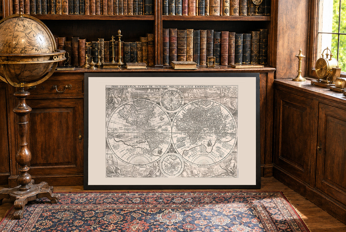
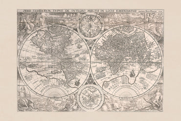
The work titled "Orbis Terrarum Typus de Integro Multis in Locis Emendatus" is a world map created in 1594 by Jan Huygen van Linschoten, with contributions...
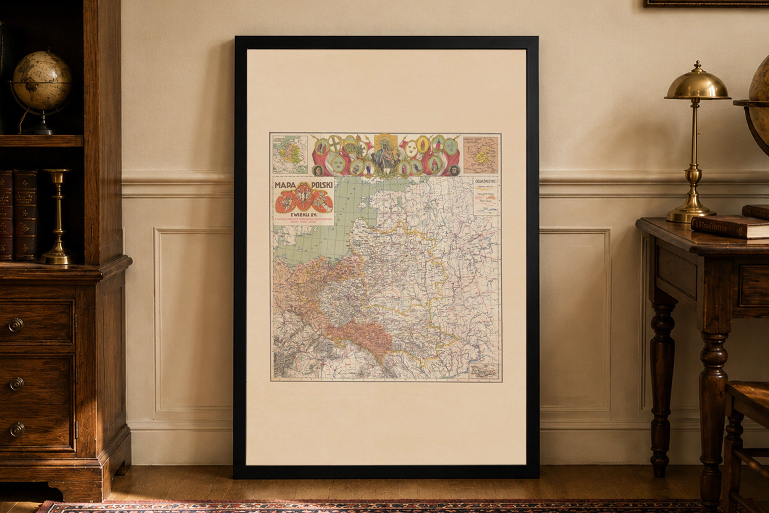
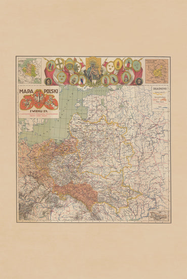
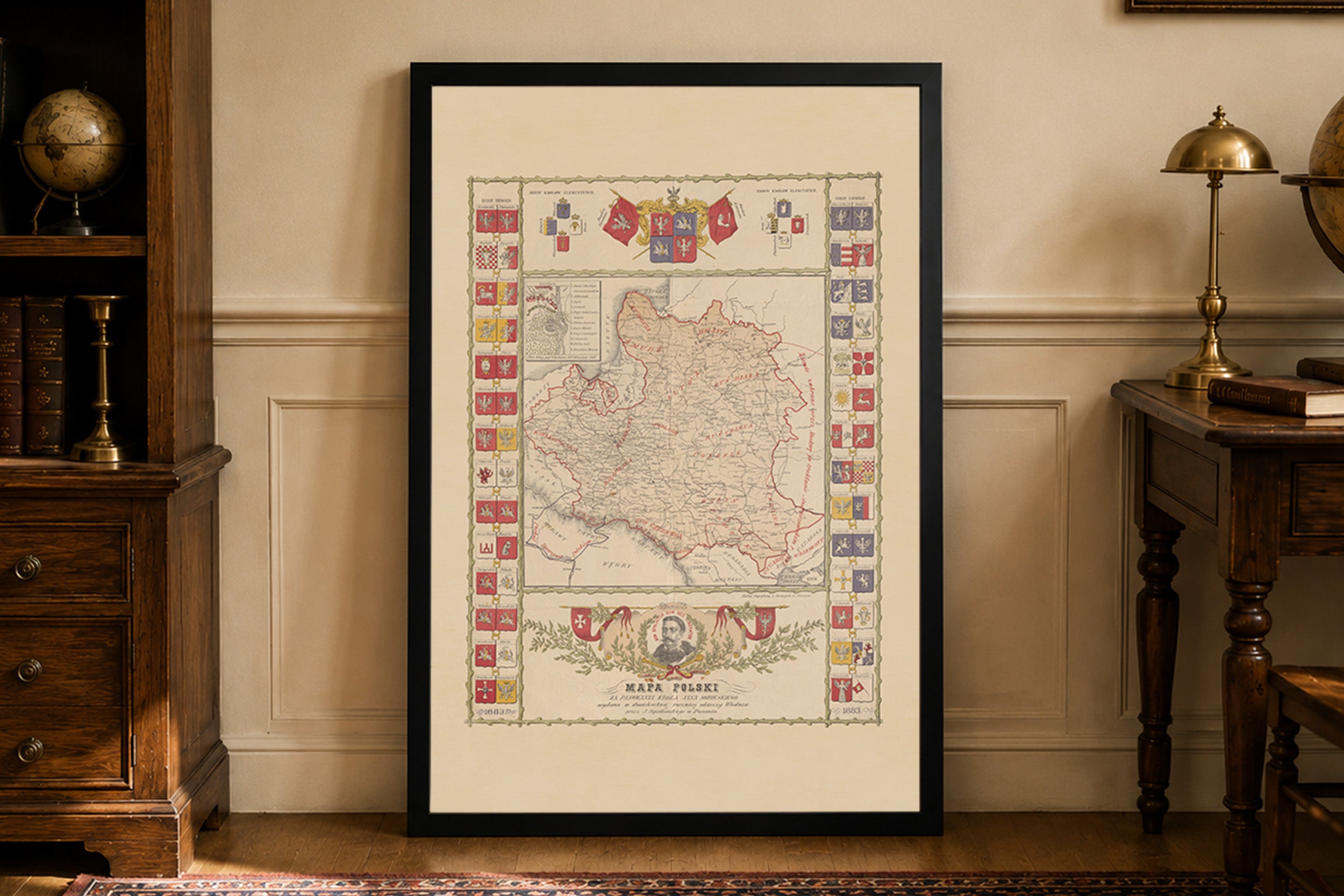
Discover a remarkable Historical Poland Map Poster published in Lwów between 1914 and 1918 by W. Kwapniewski. This richly detailed vintage map presents the historical territories...
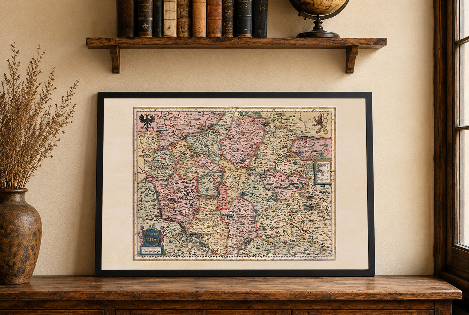
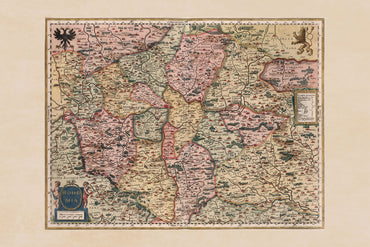
This image depicts a historical map titled "Bohemia," authored by Gerhard Mercator, Jodocus Hondius, and Hendrik Hondius, dated 1623. The map is part of an atlas...
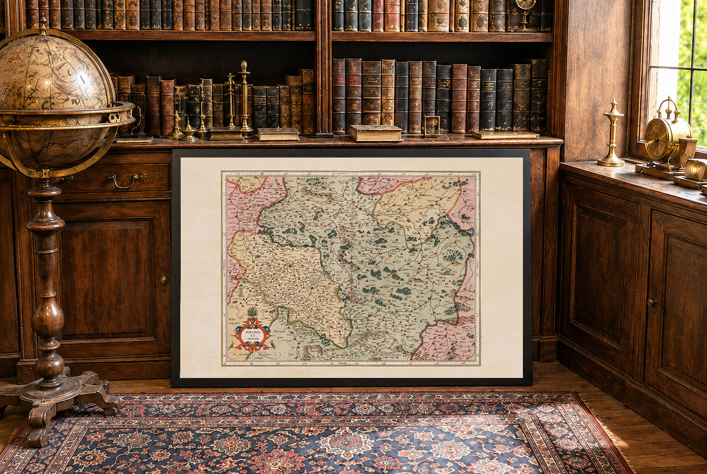
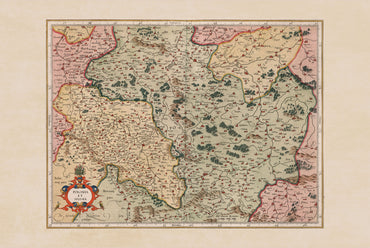
the work is titled "Polonia Et Silesia," created by Gerhard Mercator and published by Hendricus Hondius in 1623. This map is part of a world atlas...
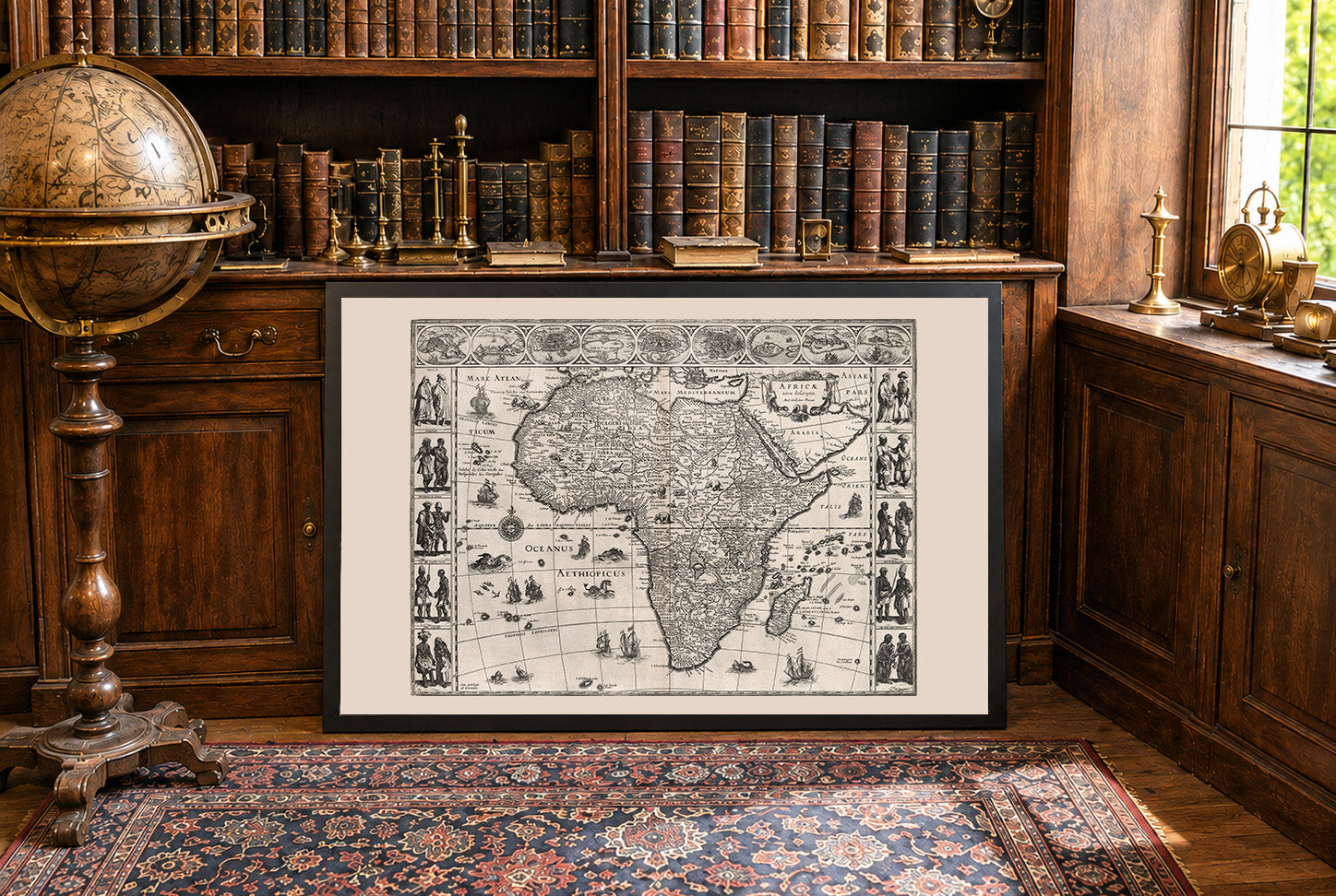
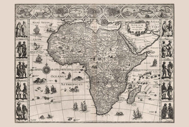
This image is a historical map titled "Africae nova descriptio," created by Willem Janszoon Blaeu in 1630. It is published as part of a world atlas...
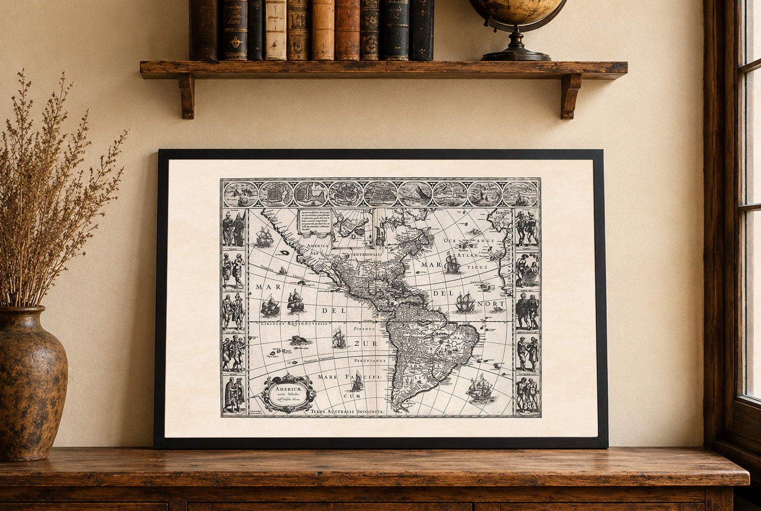
The map titled "Americae nova Tabula" was created by Willem Janszoon Blaeu, a prominent Dutch cartographer, in 1630. It is part of Blaeu's first world atlas,...
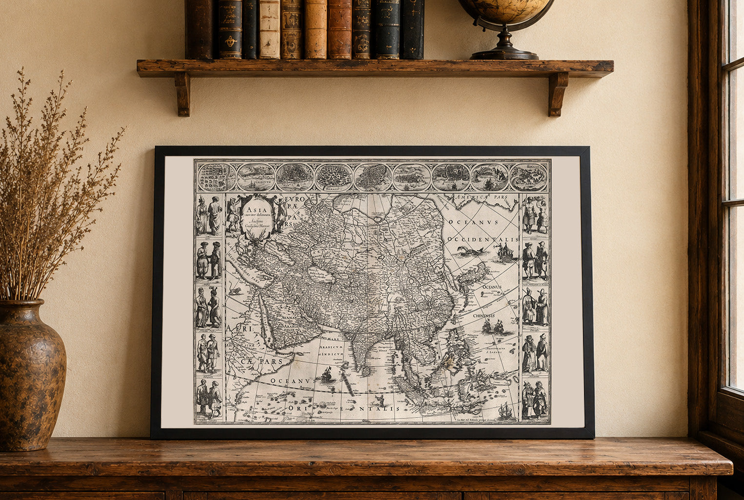
The image is a map titled "Asia noviter delineata" by Willem Janszoon Blaeu, created in 1630. It is part of an atlas published by Blaeu, a...
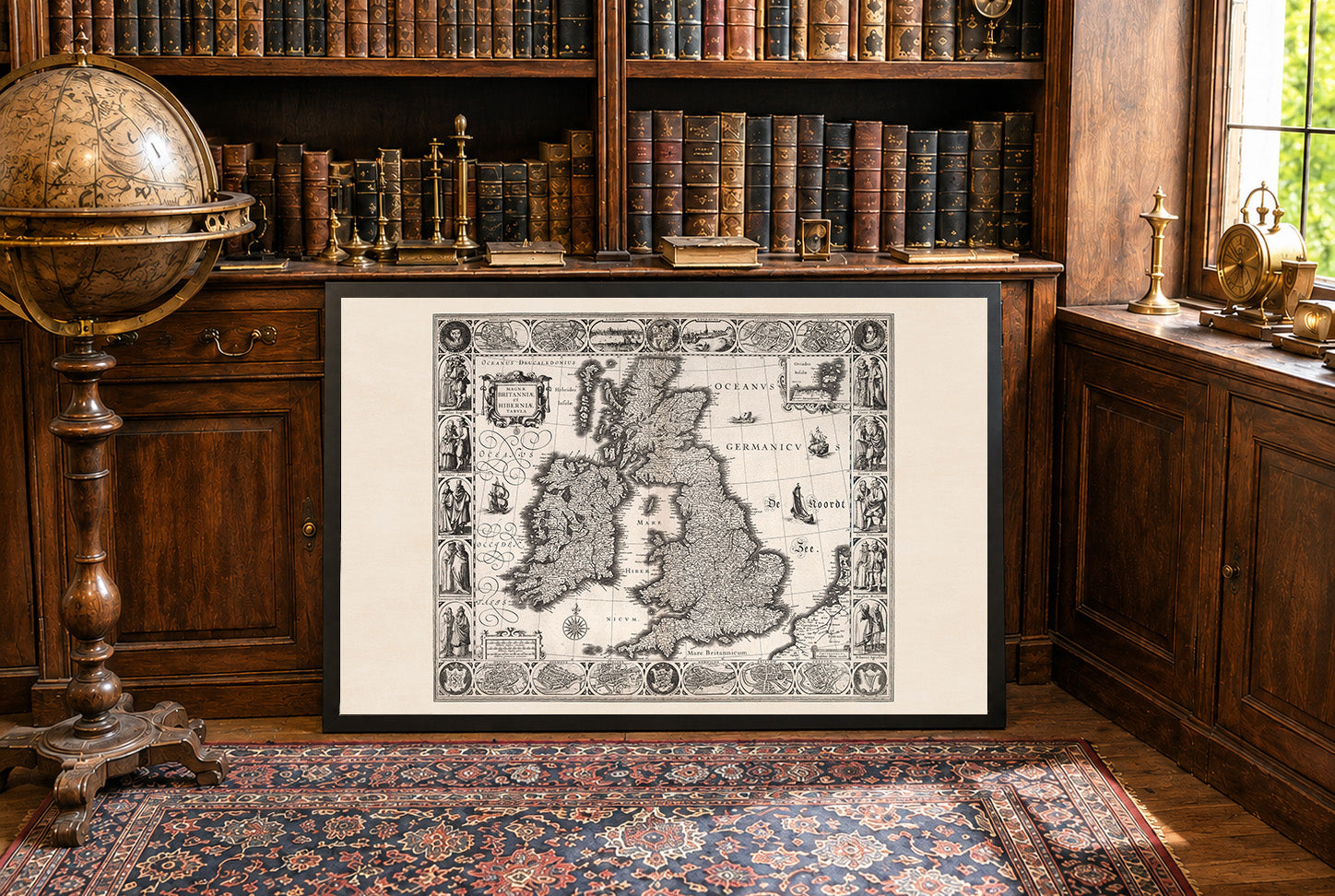
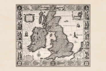
In 1630, the British Isles were ruled by Charles I over England, Scotland, and Ireland, maintaining a personal union of the three kingdoms. Tensions over taxation,...
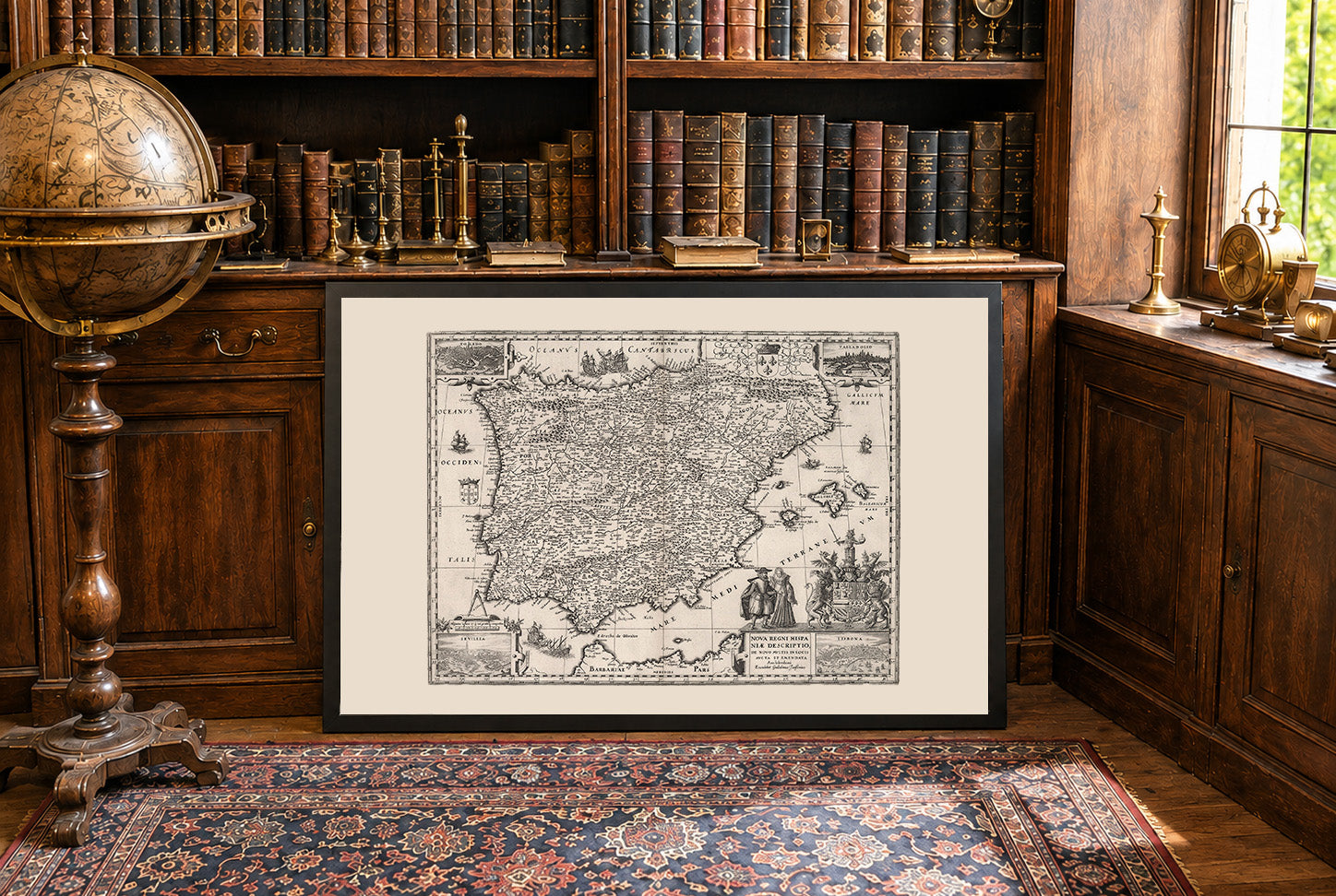
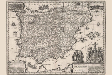
In 1630, Iberia was largely unified under the Spanish Habsburgs, with Spain ruling both its own territories and Portugal within the Iberian Union. The region was...
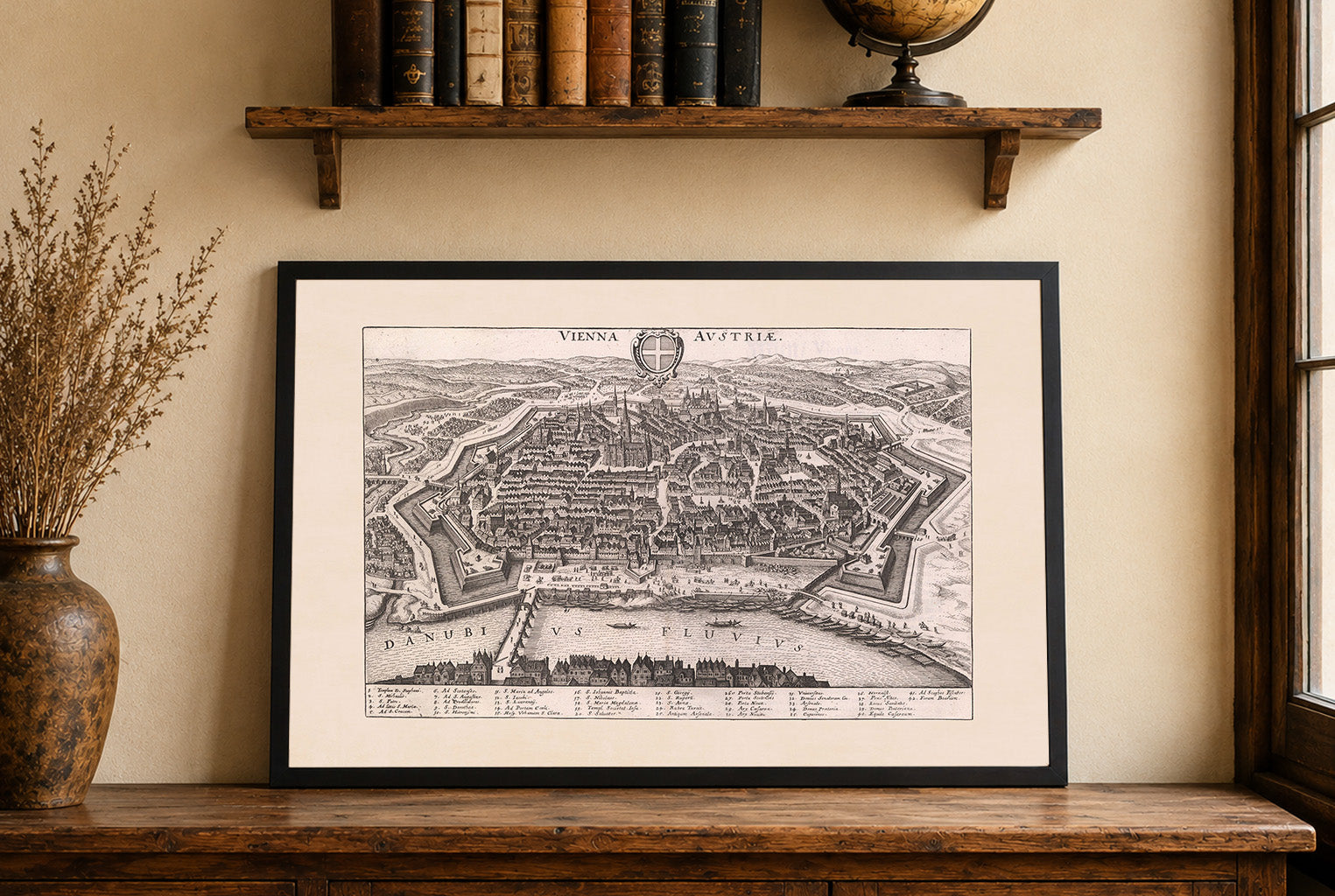
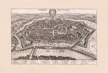
The work depicted is titled "Vienna Austriae," created by Matthäus Merian in collaboration with Martin Zeiller, and published in 1649. This engraving is part of the...
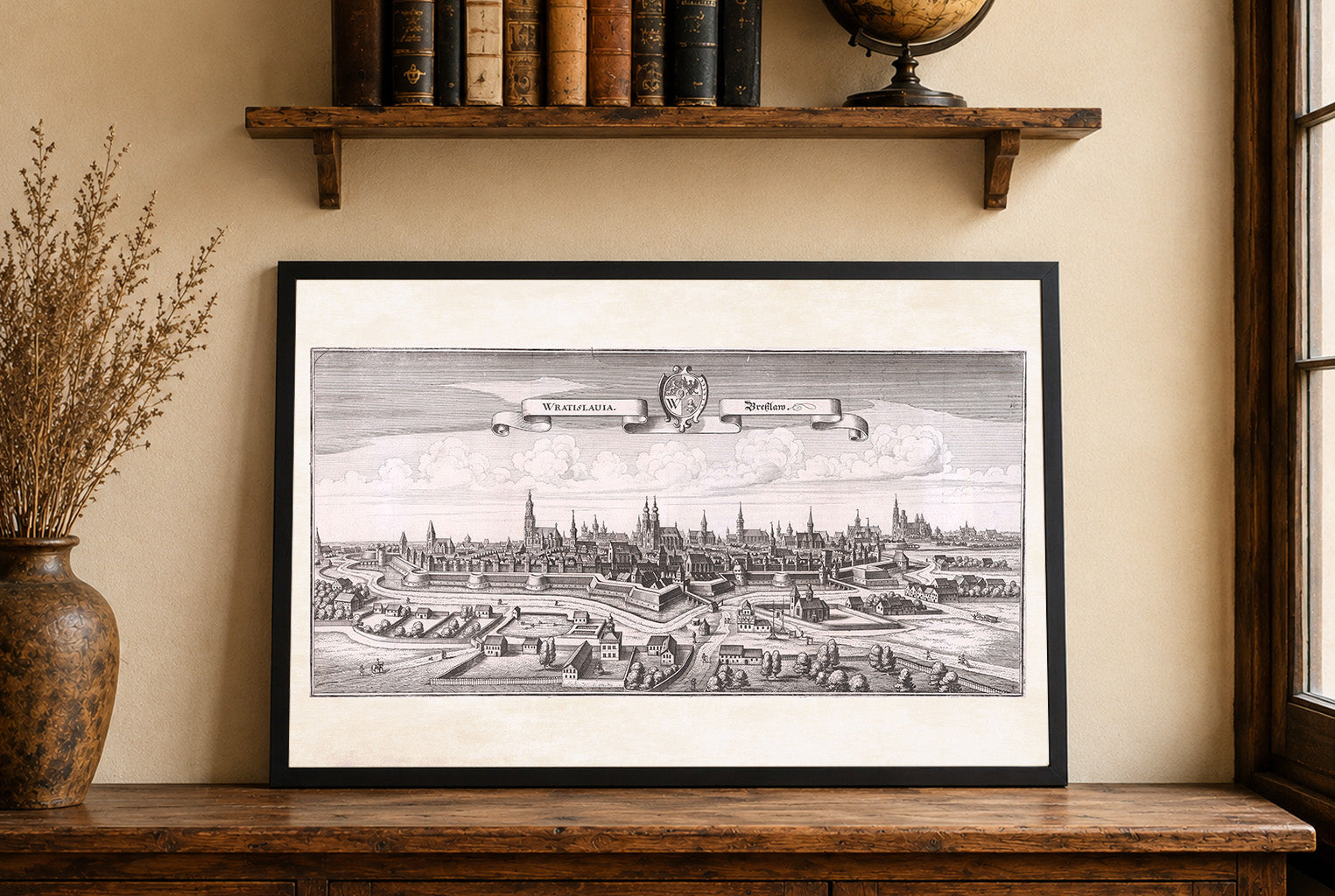
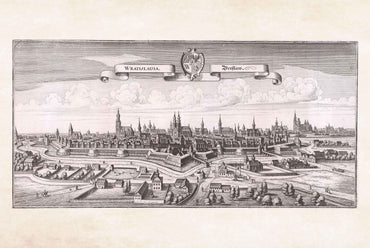
The image is an engraving titled "Wratislauia. Breslaw," created by Matthaeus Merian in collaboration with Martin Zeiller, dated 1650. This work is part of "Topographia Bohemiæ,"...
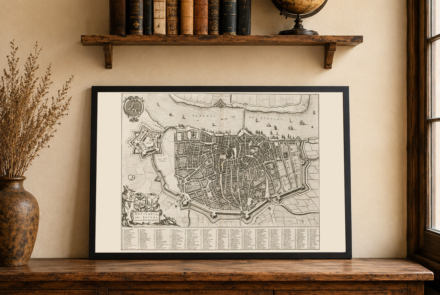
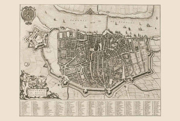
This work is a detailed city map titled "Antuerpia; Gallis Anvers:. Vernacule Antwerpen," created by Joan Blaeu and Willem Janszoon Blaeu in 1652.. The map is...
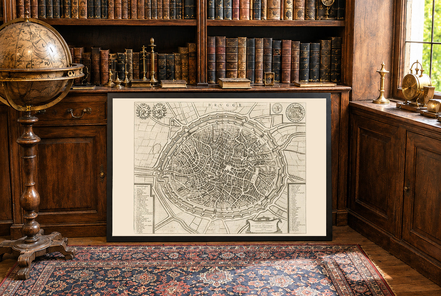
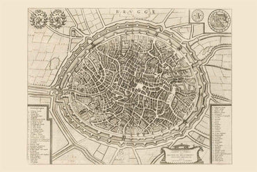
The work depicted is a detailed map of Brugge (Bruges), created by Joan Blaeu and Willem Janszoon Blaeu. This map, dated 1652, is part of a...
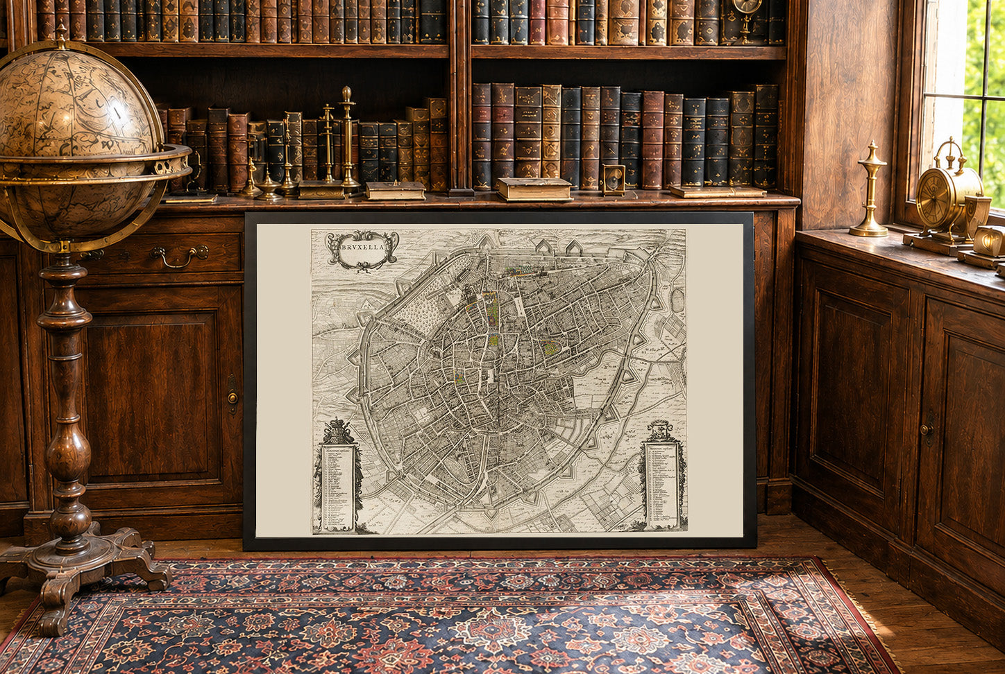
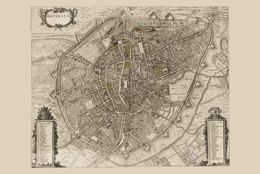
The image depicts "Bruxella," a map of Brussels, authored by Joan Blaeu and Willem Janszoon Blaeu, published in 1652. This work is part of Blaeu’s "Toonneel...
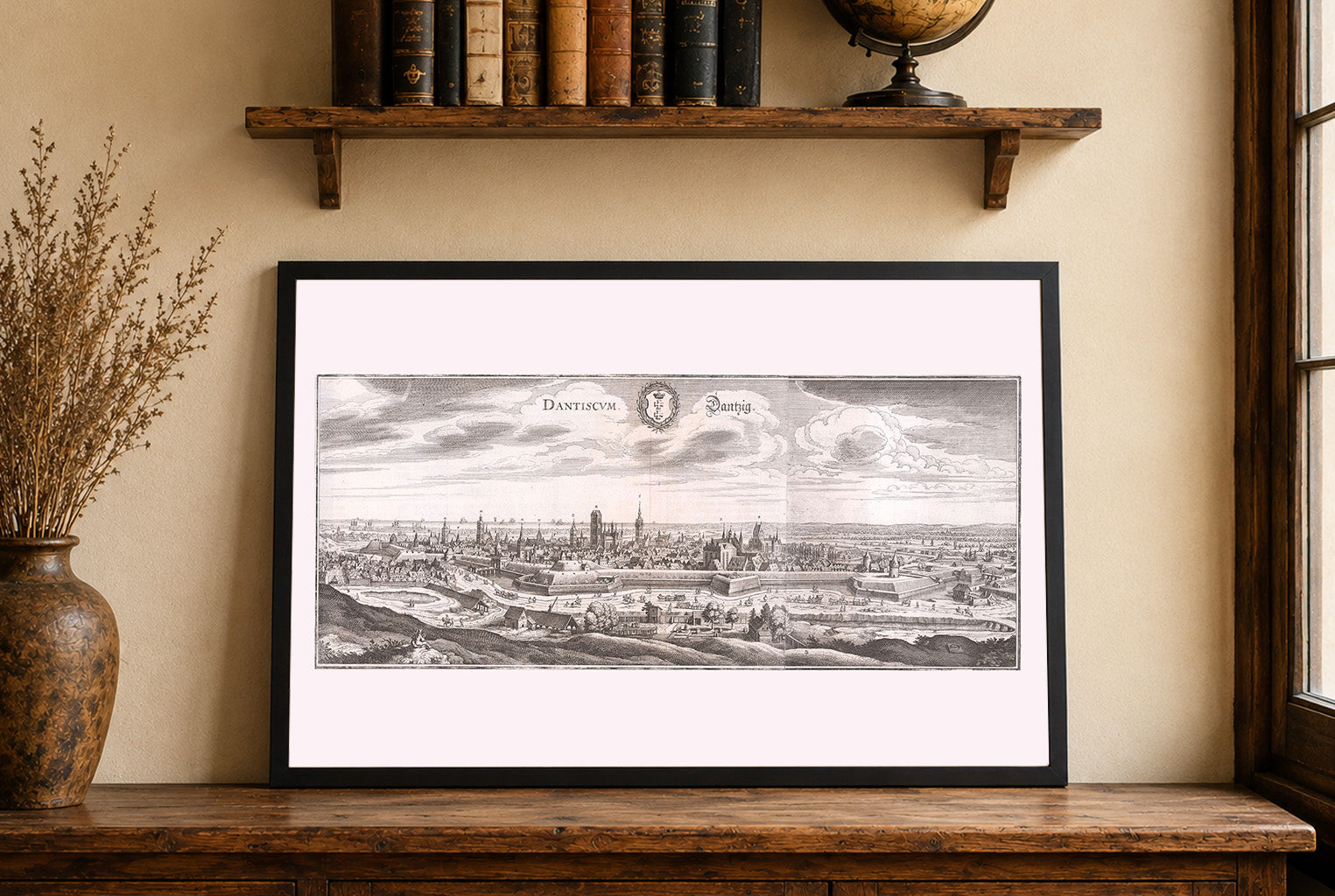
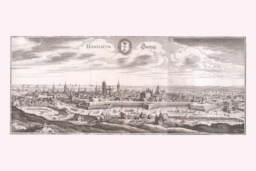
This is a finely detailed 17th-century engraved city view of Danzig (modern-day Gdańsk, Poland), created by Matthaeus Merian and his workshop, with accompanying text by Martin...
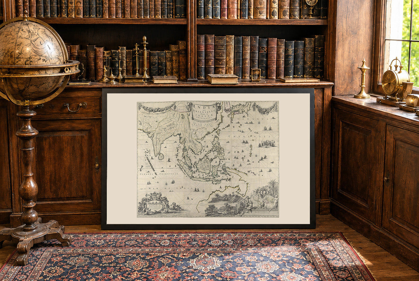
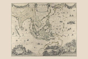
This is a historical map titled "India quæ Orientalis dicitur, Et Insvlæ Adiacentes," created by Hugo Allardt in 1652. The map is a large-scale representation of...

23 items

41 items

60 items

27 items

58 items

10 items