



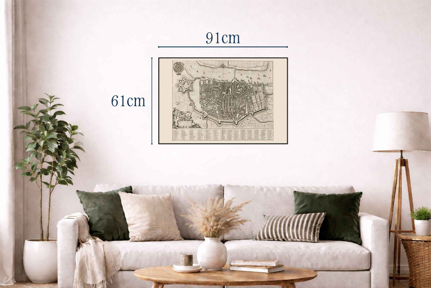
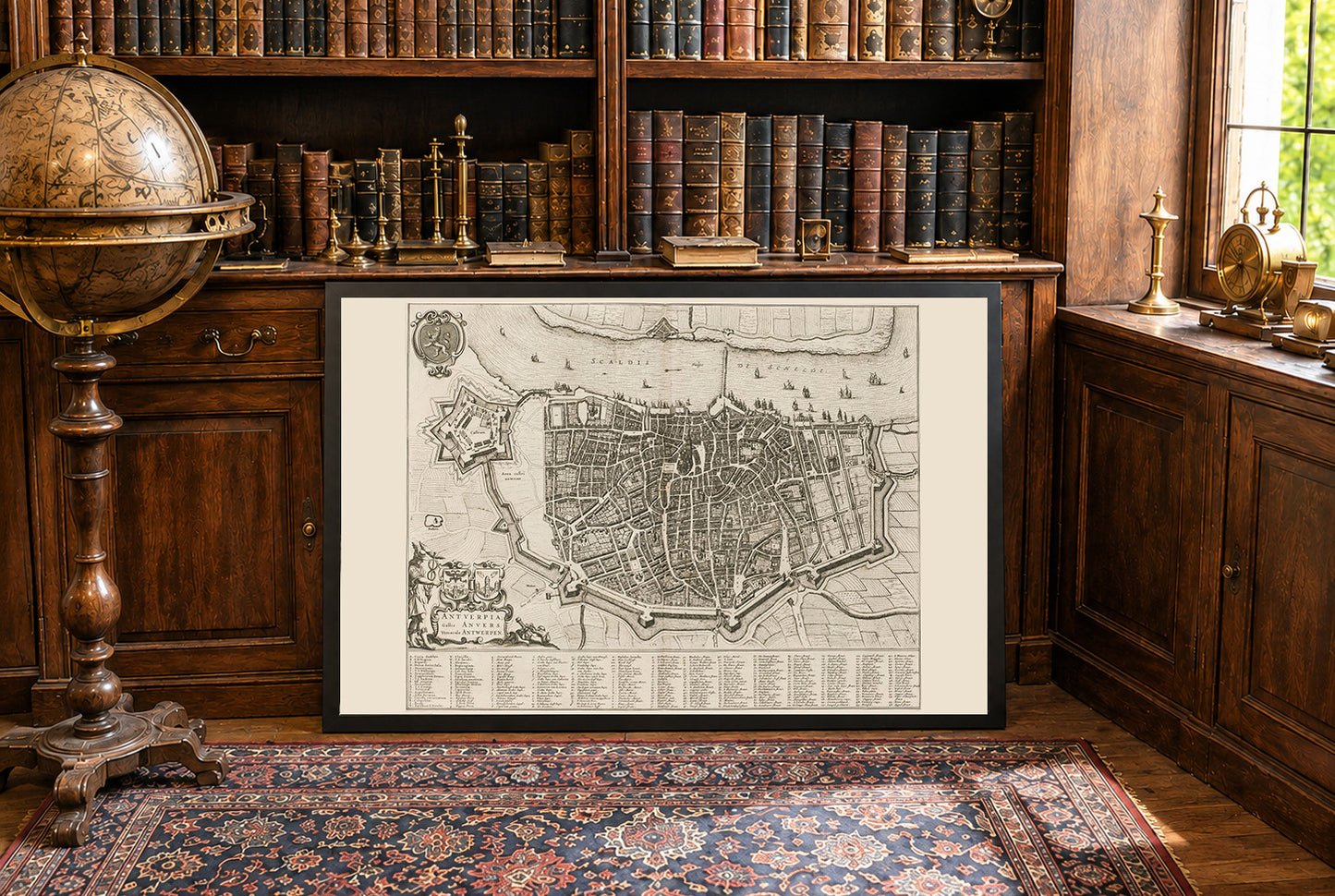
This work is a detailed city map titled "Antuerpia; Gallis Anvers:. Vernacule Antwerpen," created by Joan Blaeu and Willem Janszoon Blaeu in 1652.. The map is a depiction of Antwerp, Belgium, and is included in Volume Two of Blaeu’s townbooks of the Netherlands. The map is a finely detailed engraved depiction of Antwerp, showcasing the city’s layout during the mid-17th century. It combines both artistic and cartographic elements, characteristic of Blaeu’s work. The map is presented in black and white, with intricate details of streets, buildings, and fortifications.




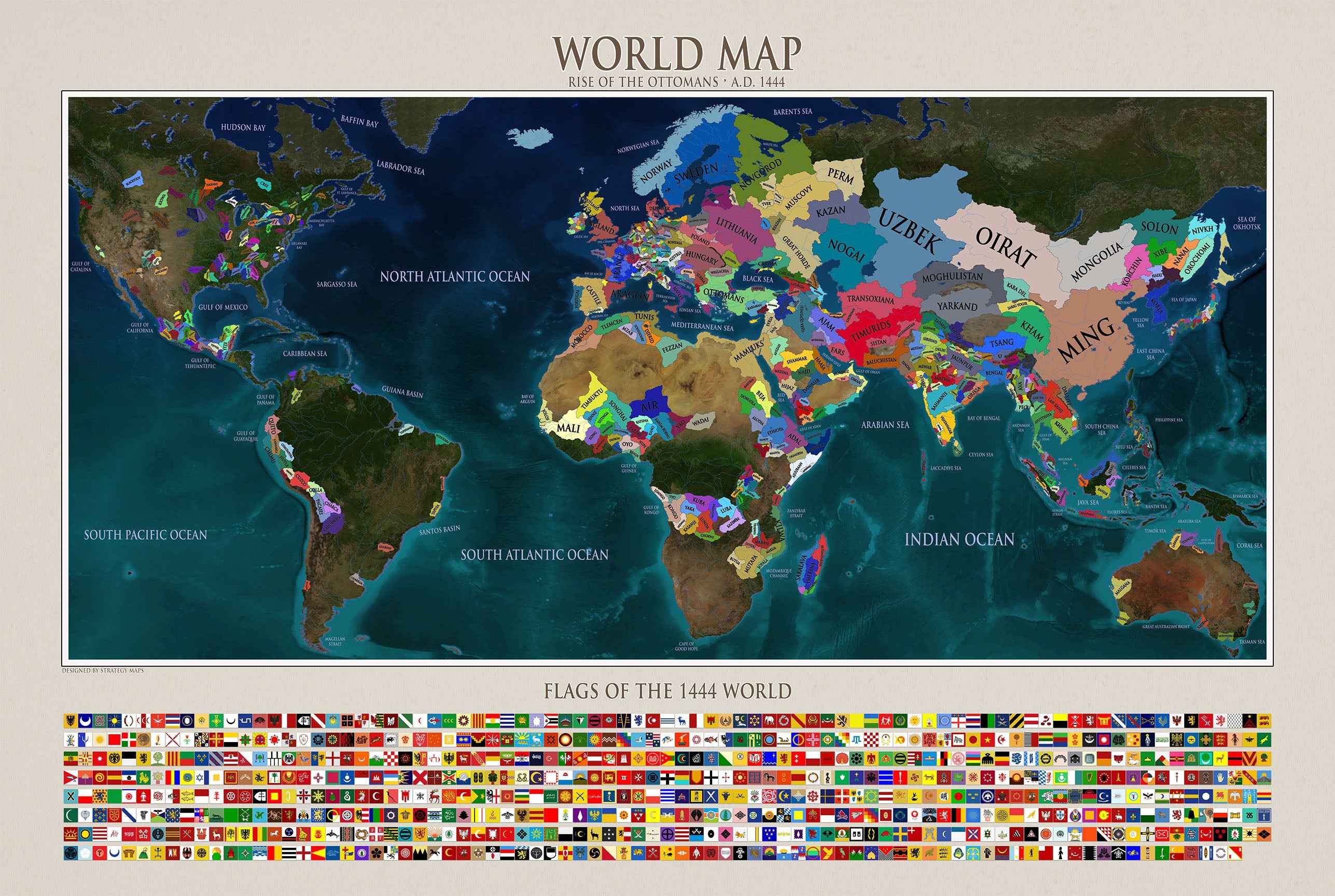
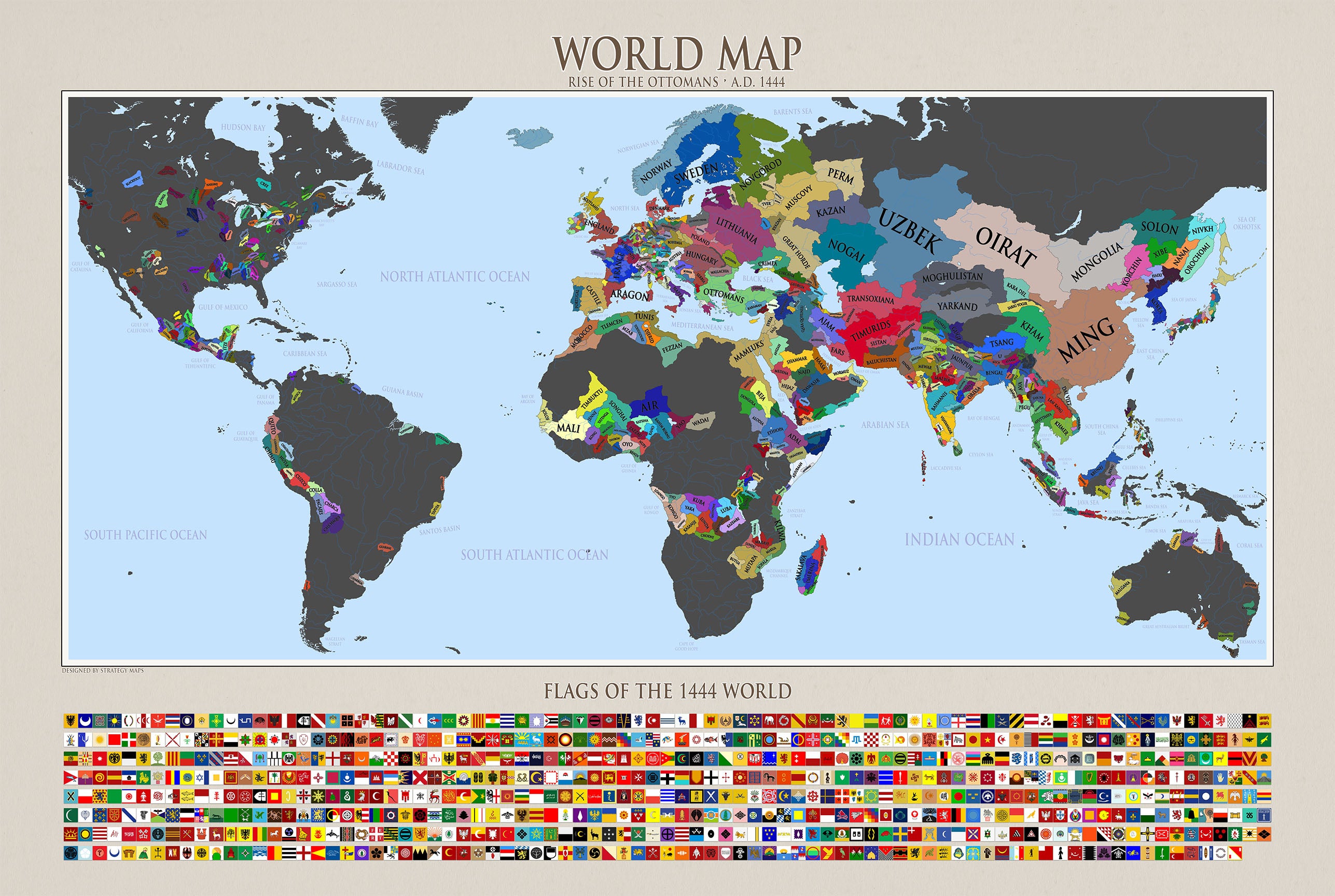
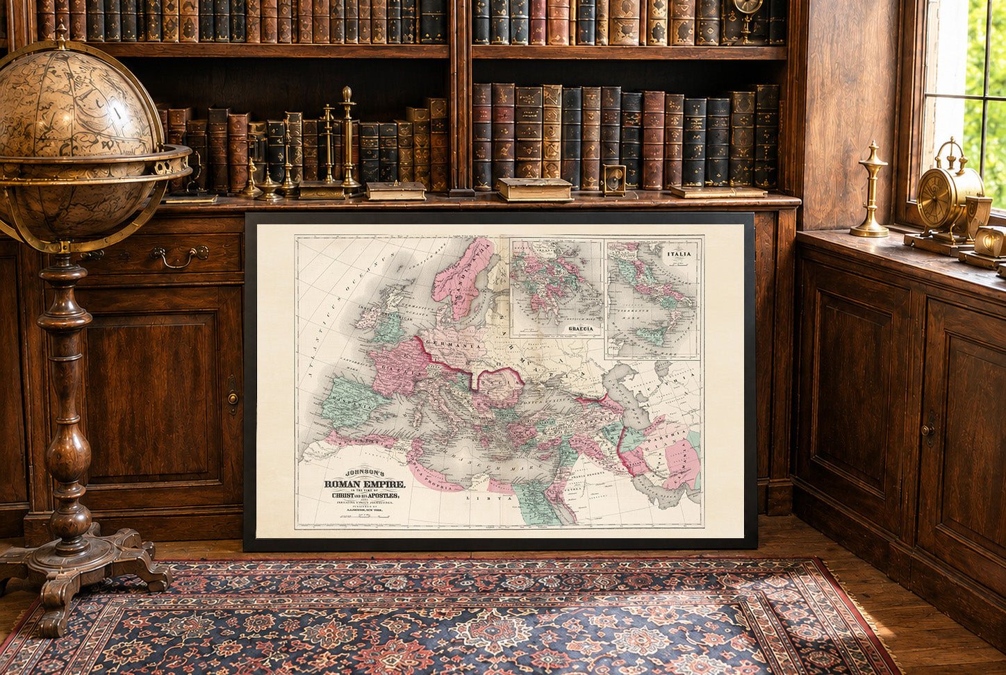
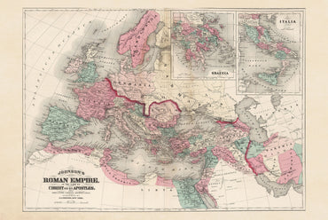
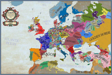
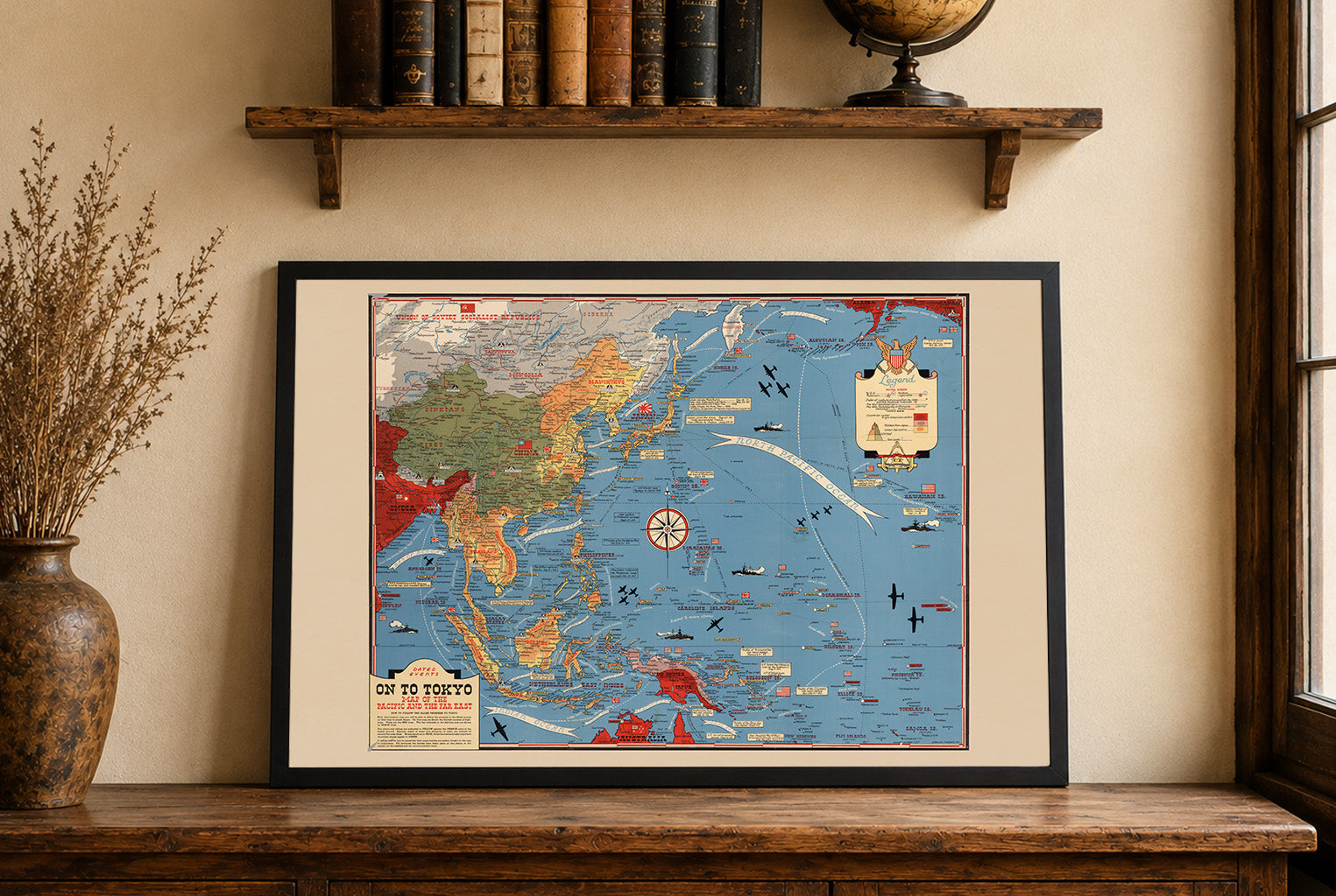
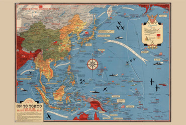
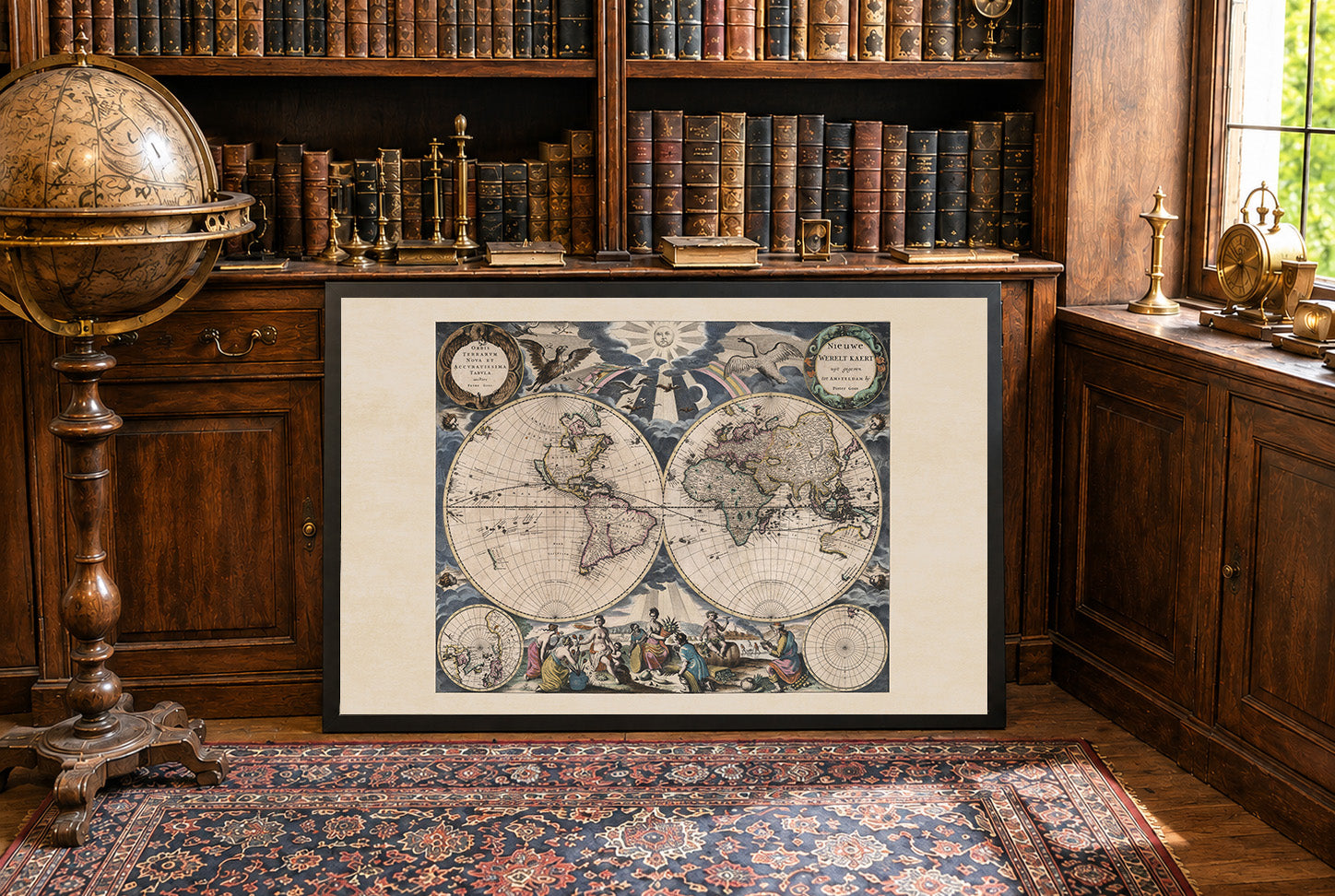
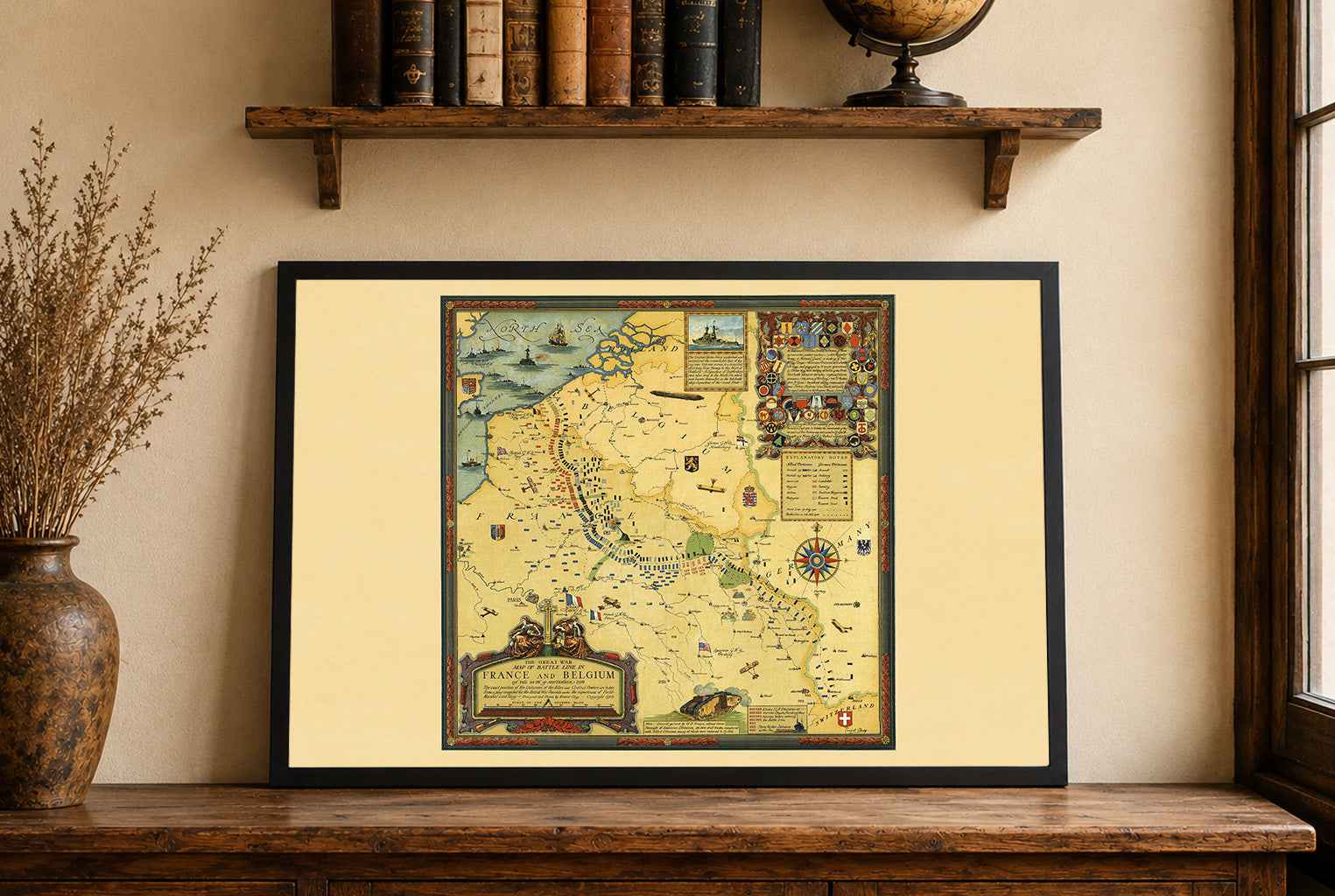
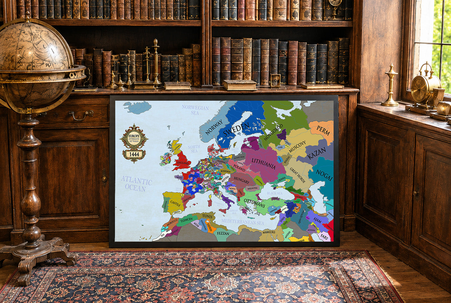
Maps came in a very well cushioned package with no damage occurring during transit. The color on the maps is nicely saturated and the maps look great on the wall.
Great quality, great packaging, great delivery! Highly recommend all maps!
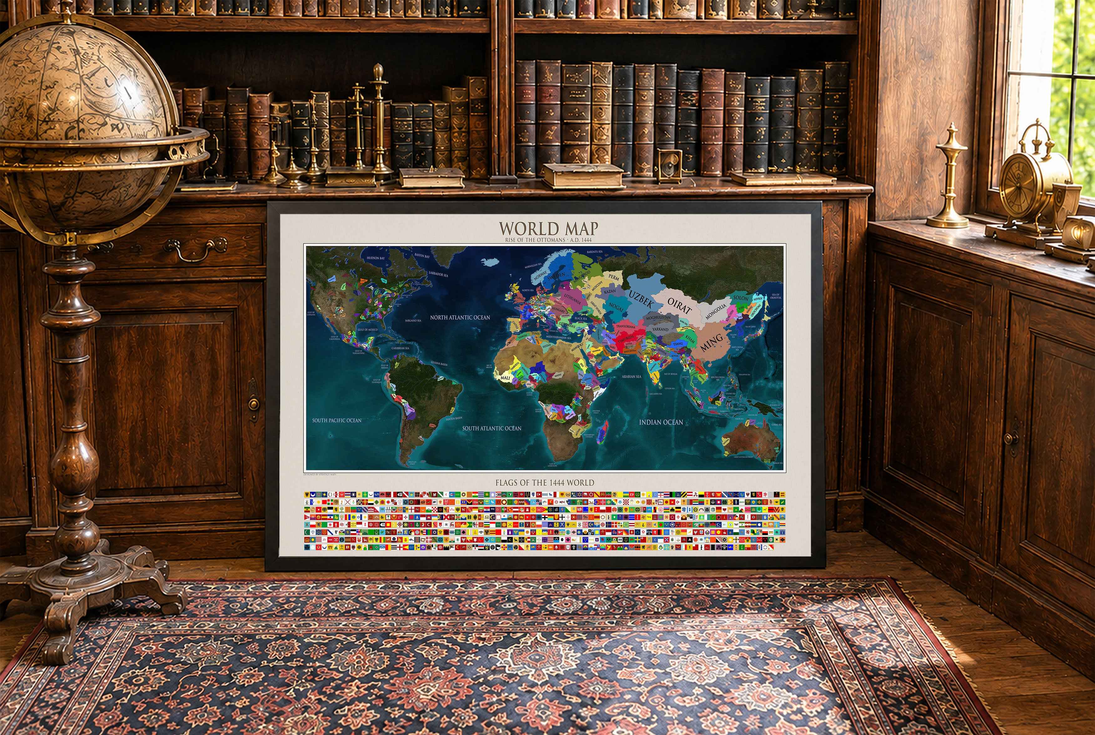
Great material and colour saturation and means I can choose a country to play before turning on my PC :P
Map arrived in perfect condition and quality for reading cities, rivers, mountains and regions. Incredibly helpful in sourcing the map I wanted and adding it to the store.
Rotterdam is always 5 stars.