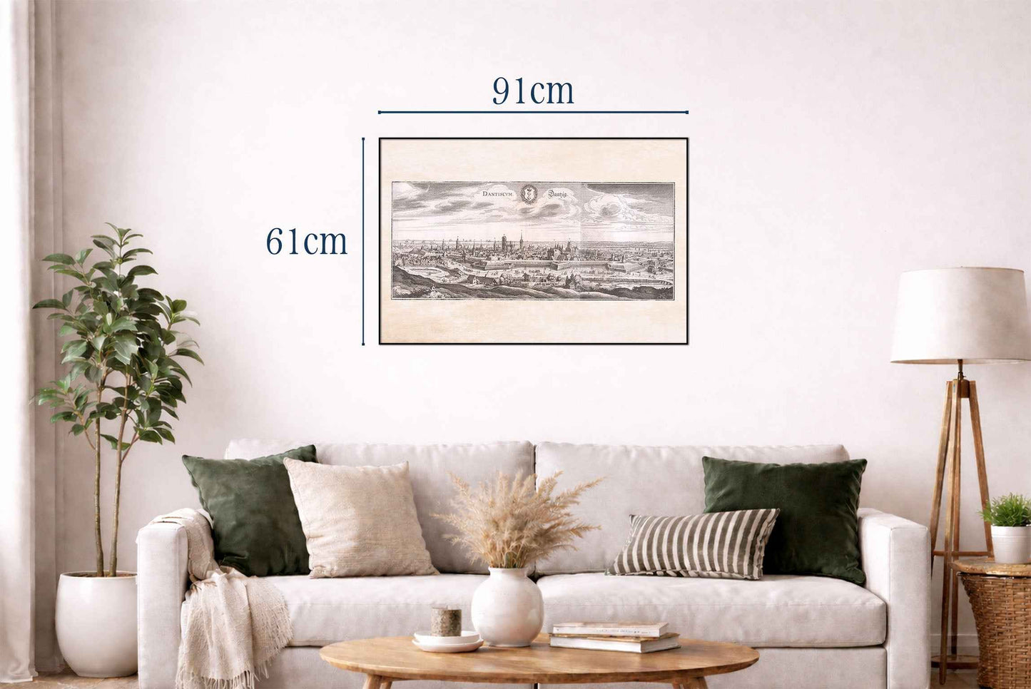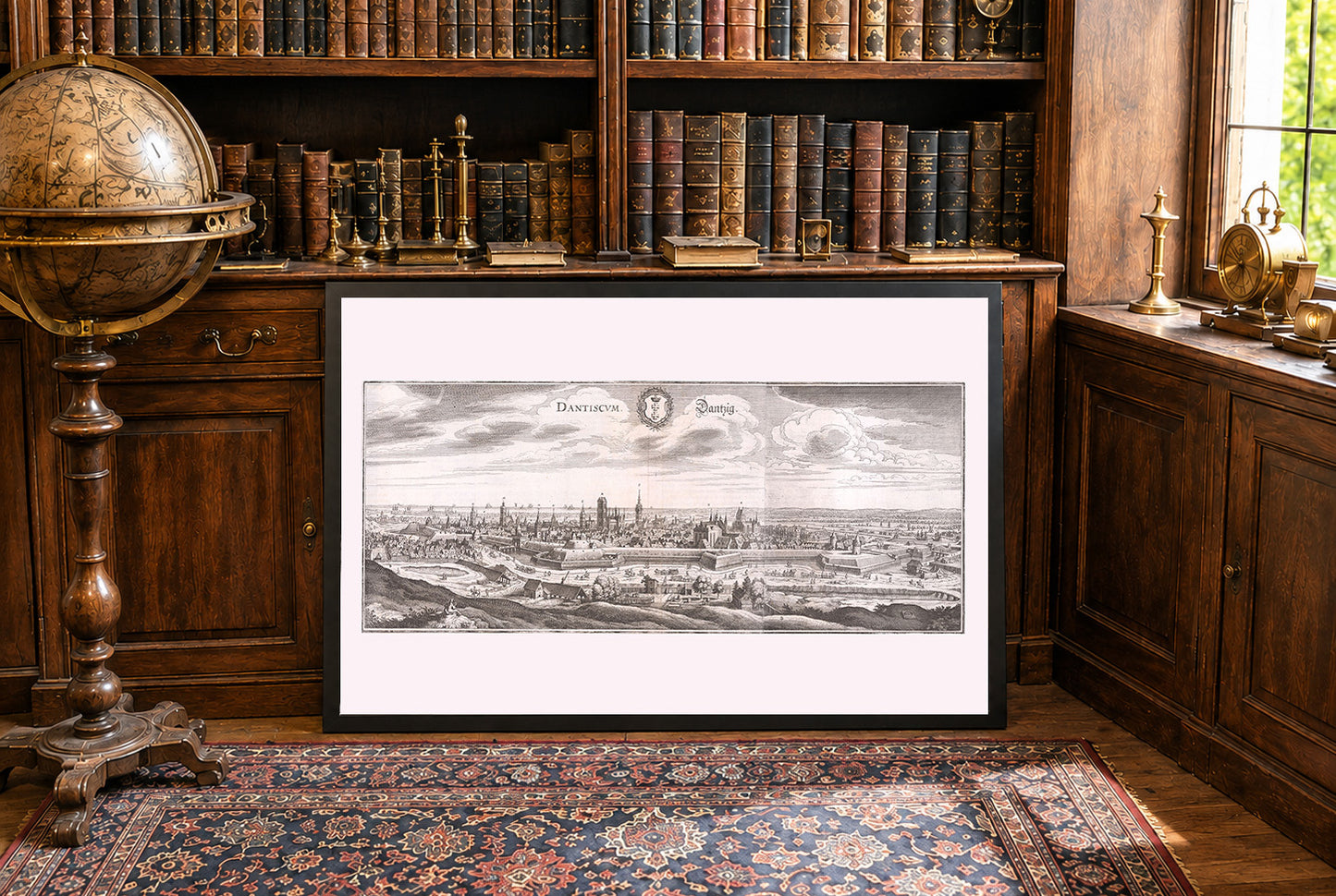


This is a finely detailed 17th-century engraved city view of Danzig (modern-day Gdańsk, Poland), created by Matthaeus Merian and his workshop, with accompanying text by Martin Zeiller. The work forms part of the monumental Topographia Germaniae-a multi-volume atlas that systematically cataloged the cities and landscapes of the German-speaking world and neighboring regions during the early modern era. The engraving presents a panoramic, elevated perspective of the fortified city of Danzig, as seen from across the river Motława. The scene is meticulously rendered, with careful attention to architectural details, city fortifications, and the surrounding landscape. The horizon is dominated by the city’s skyline, which features an array of church spires, towers, and densely packed rooftops. In the foreground, pastoral scenes and figures on horseback are visible, adding depth and context to the view.
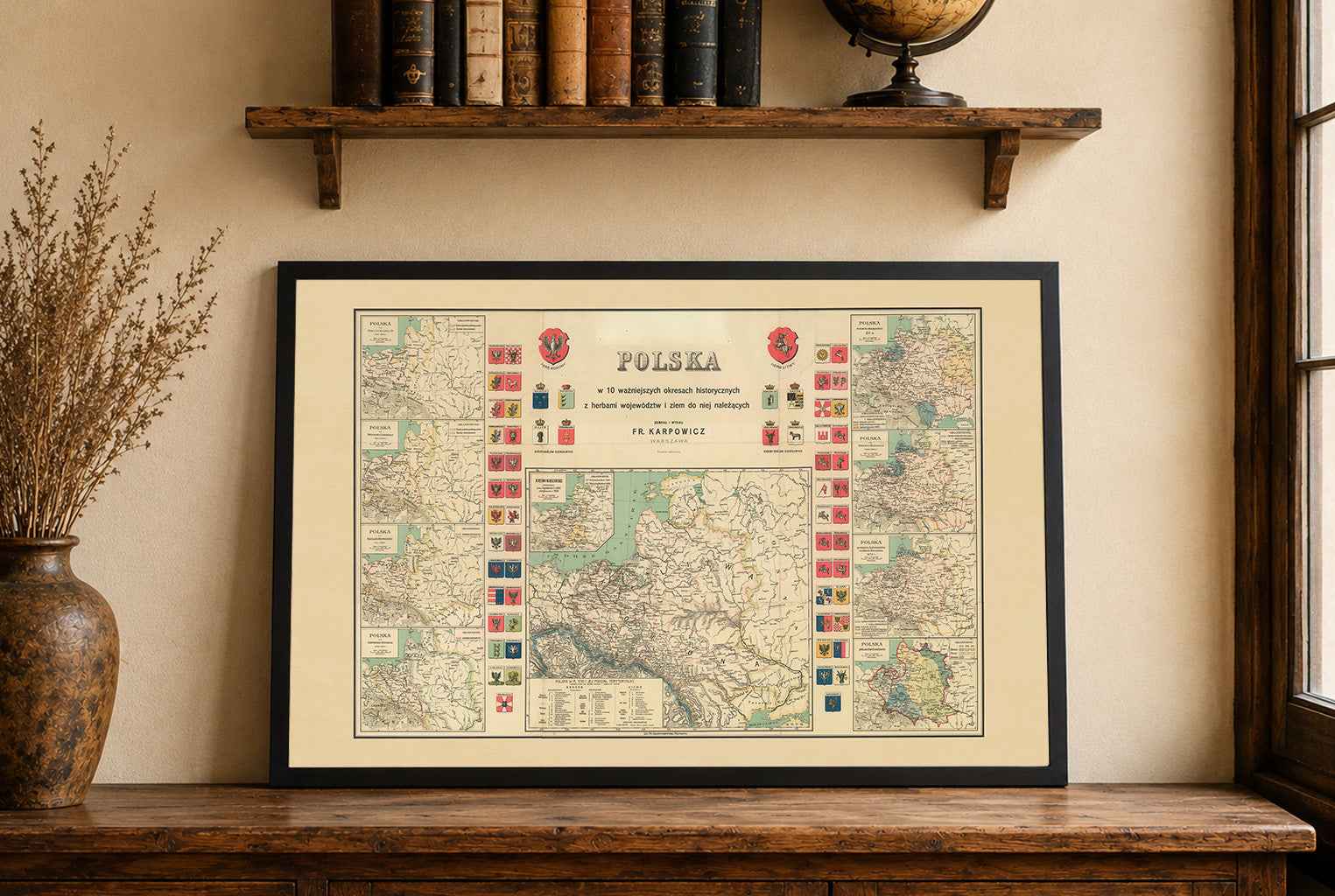
This is a reproduction print of a historical map