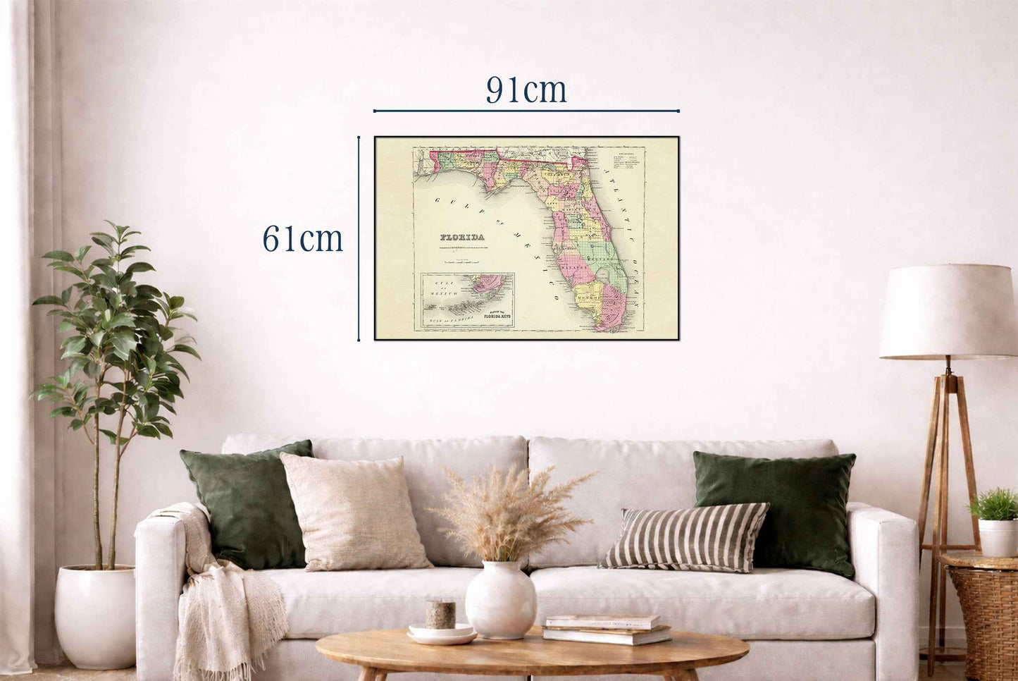


This work is a detailed map titled "Florida," authored by G.W. Colton and published by J.H. Colton & Co. in 1856. The map is part of an atlas collection. This particular piece is from a world atlas that was one of the first comprehensive atlases produced by Colton and was known for its accuracy and quality. The map is rendered in full color, distinguishing various counties within the state of Florida. Each county is outlined and colored differently, enhancing the map's readability and aesthetic appeal. The map's decorative border is typical of mid-19th-century cartographic works, featuring intricate scrollwork that frames the map elegantly.
This is a reproduction print of a historical map