The image is a historical military map titled "Battle of Waterloo, 18 June 1815: sheet 1st., morning of the battle." It was created by Alexander Keith Johnston, a Fellow of the Royal Geographical Society, for an atlas accompanying Sir Archibald Alison's "History of Europe." Published in 1852 by William Blackwood and Sons in Edinburgh and London. It is a detailed, engraved, hand-colored battle plan, showing the positions of the French and Allied cavalry, infantry, and artillery. The map is part of a military atlas encompassing significant engagements from the French Revolution to the restoration of the Bourbons. The map employs relief shown by hachures to depict the topography of the Waterloo area in Belgium. It is meticulously color-coded, with red representing French forces and blue for Allied forces. The map is carefully engraved, offering a clear and concise representation of troop movements and battlefield geography.
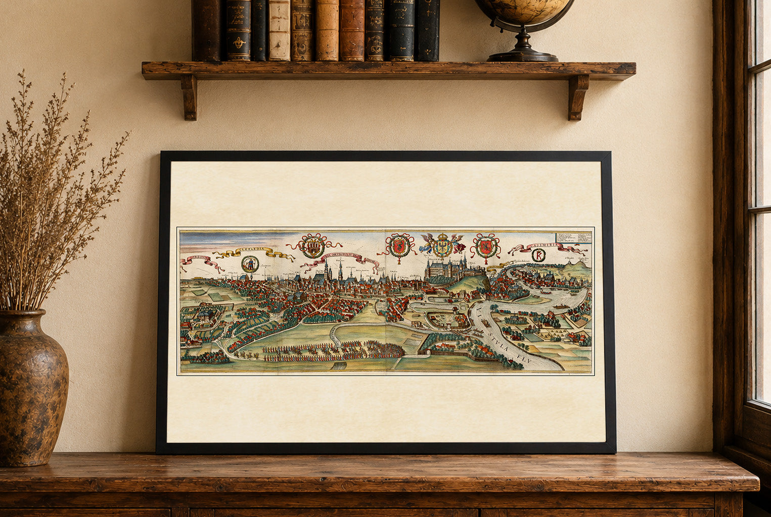
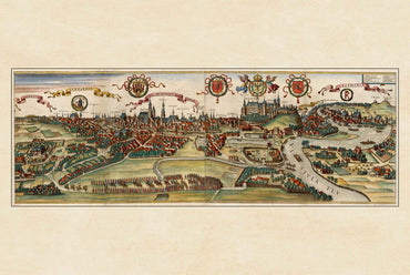
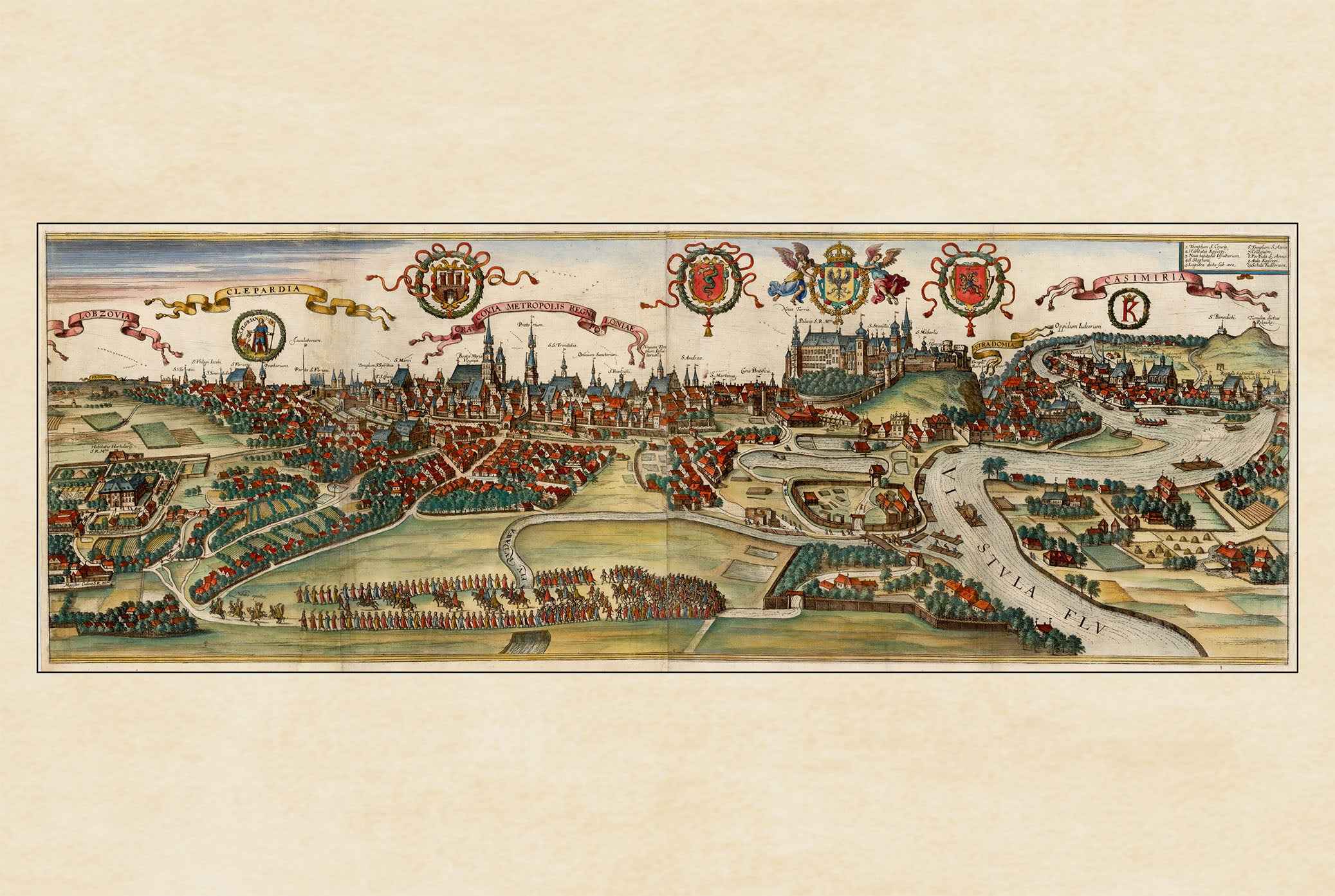
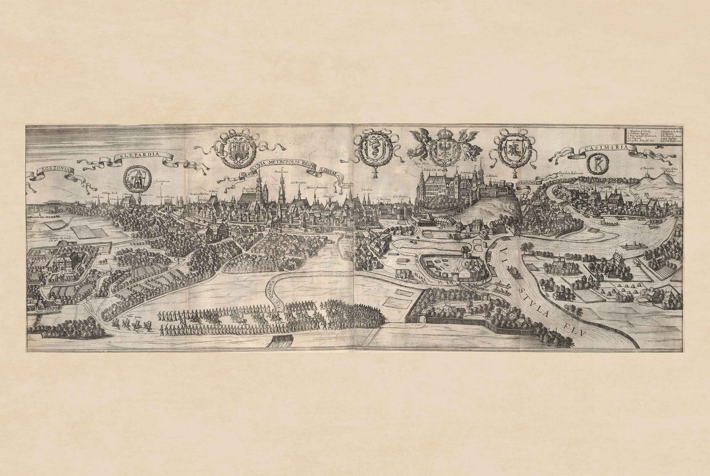
This is a reproduction print of a historical map