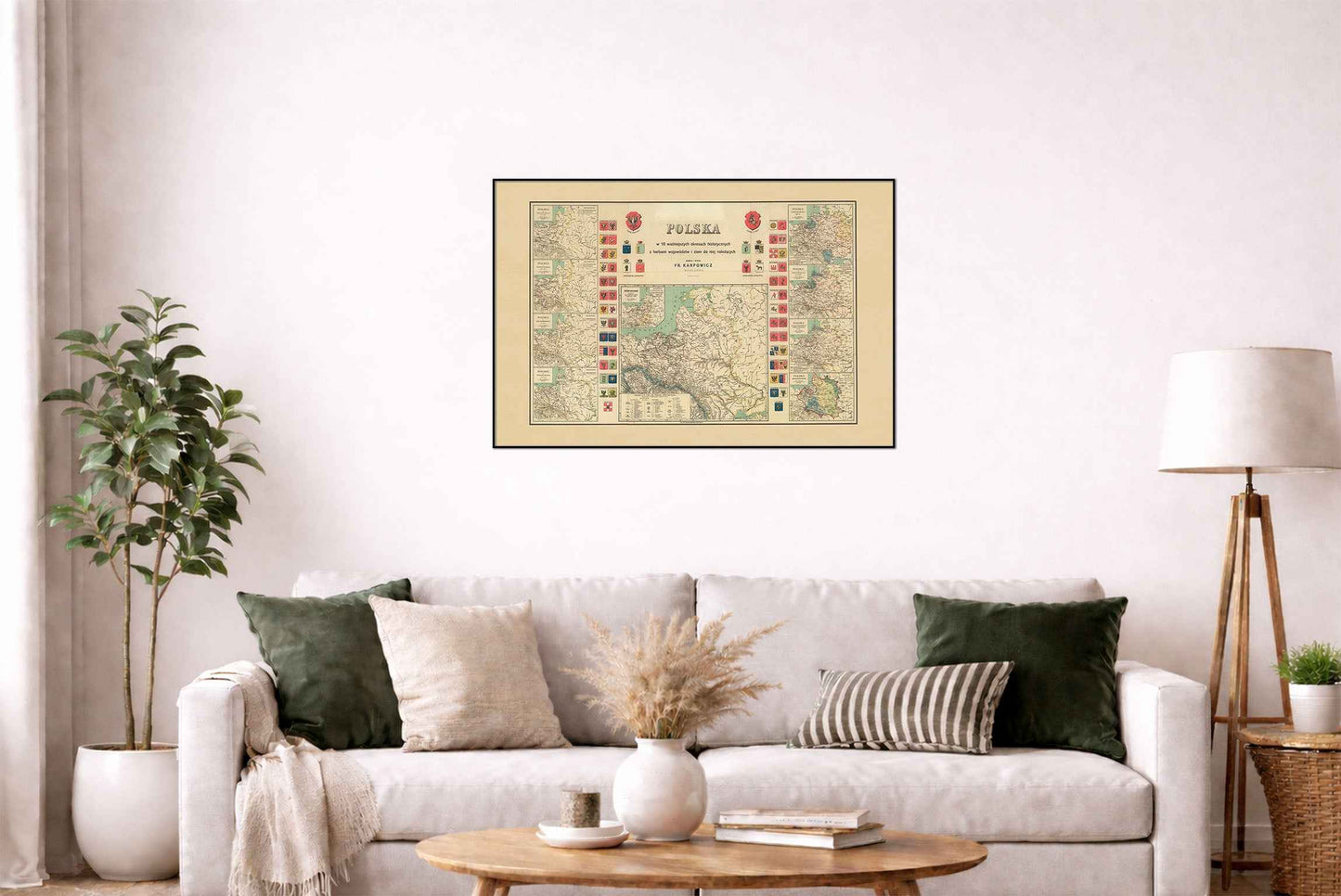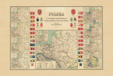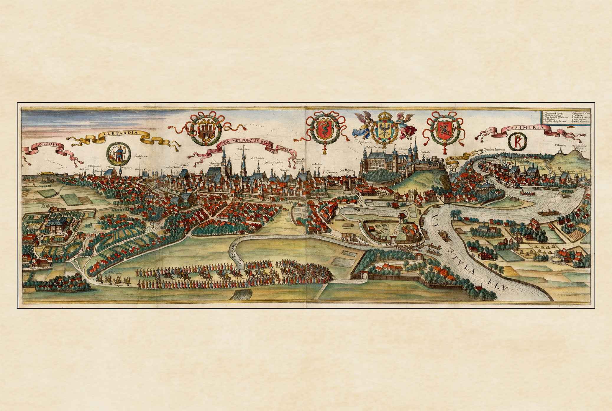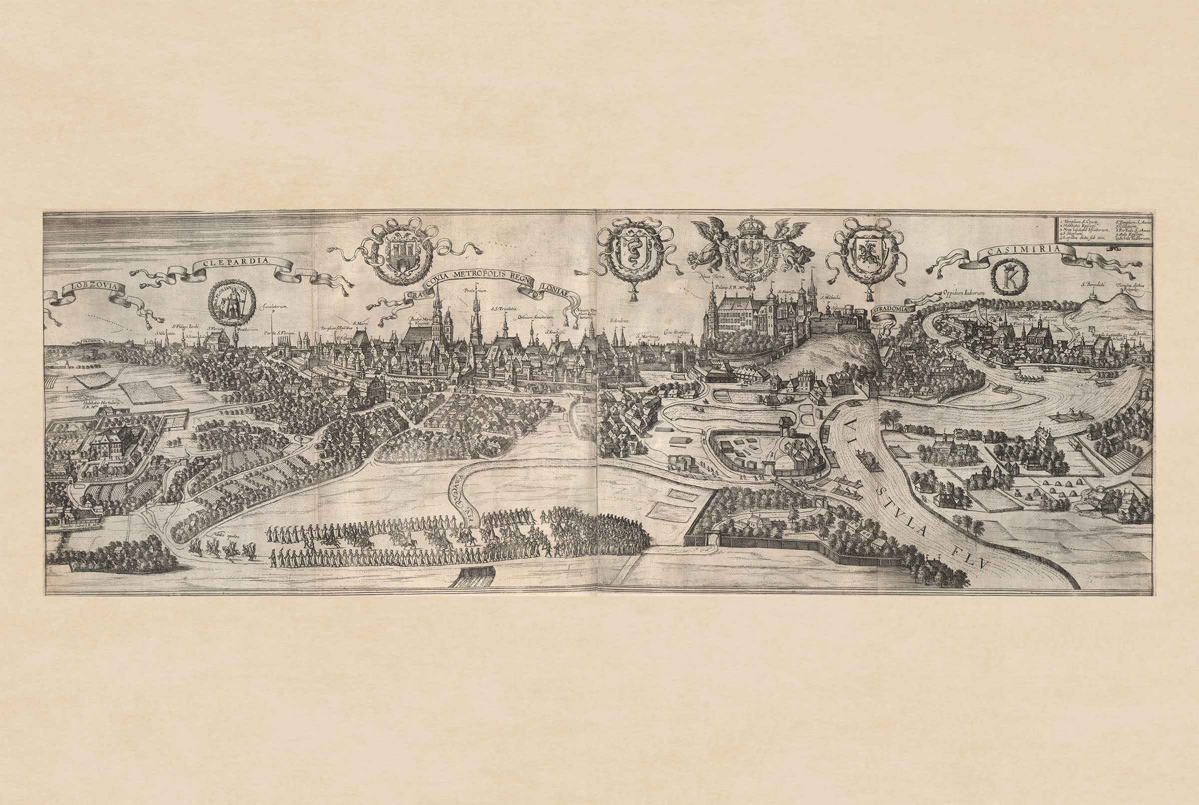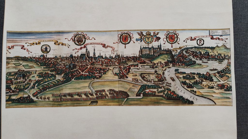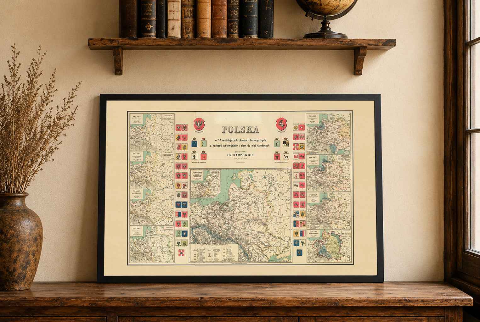


Explore over eight centuries of Polish history with this exceptional History of Poland Map Poster, featuring ten historical maps illustrating the territorial evolution of Poland from the reign of Mieszko I through the Duchy of Warsaw. Rich in historical detail, heraldry, and cartographic craftsmanship, this remarkable educational map offers a comprehensive visual journey through the most significant periods of Polish history.
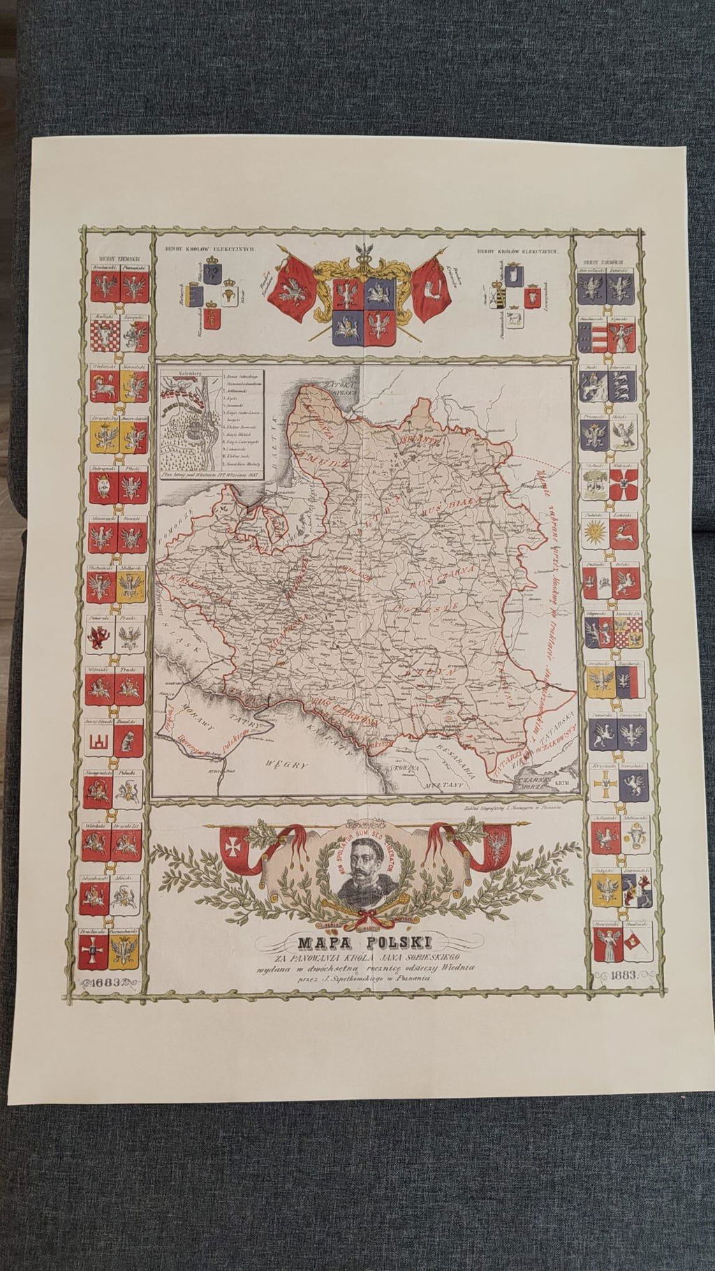
At the center of the composition is a large, detailed map of the Polish–Lithuanian Commonwealth in 1770, complete with administrative divisions, provincial borders, and a territorial table showing the organization of the Kingdom before the Partitions. Surrounding this main map are nine additional historical maps depicting the changing borders of Poland during pivotal moments in the nation's development.
The poster includes historical maps of:
- Poland under Mieszko I (956–992)
- Poland under Bolesław the Brave (992–1025)
- Poland under Bolesław III Wrymouth (1111–1138)
- Poland under Casimir III the Great (1333–1370)
- Poland in the late 15th century
- Poland under Stephen Báthory (1576–1586)
- Poland after the Treaty of Andrusovo and the Treaty of Buchach (1673)
- Poland during the Three Partitions
- The Duchy of Warsaw (1807–1809)
The composition is further enriched with the coats of arms of the Polish Crown, the Grand Duchy of Lithuania, and the elected kings of Poland, making this map both an educational resource and an impressive decorative work. Traditional hachure relief, elegant engraving, and historic typography reflect the highest standards of classical European cartography.
Perfect for historians, teachers, students, genealogists, collectors, and anyone passionate about Polish history, this vintage historical map poster is an outstanding addition to offices, libraries, classrooms, studies, or traditional interiors.
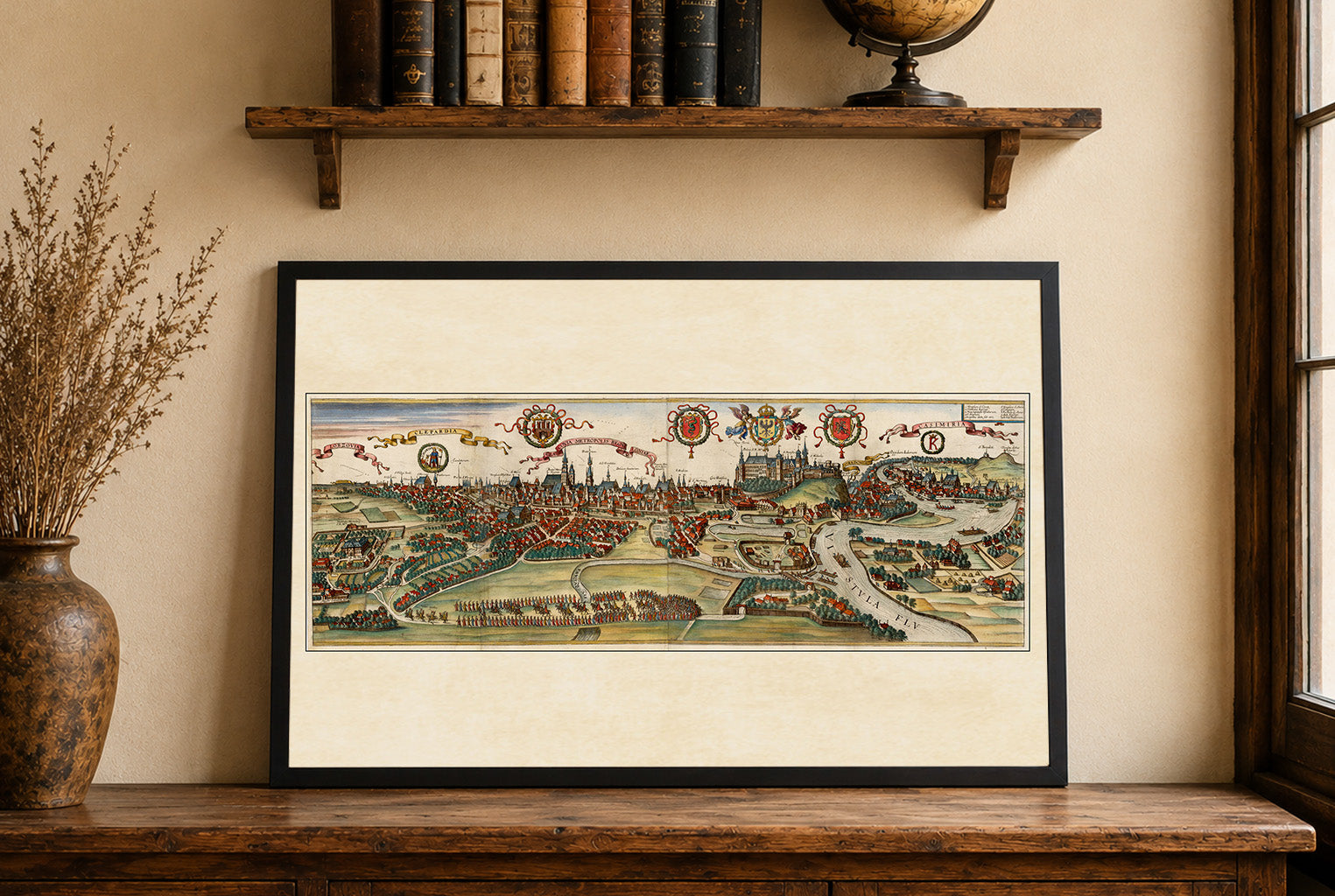
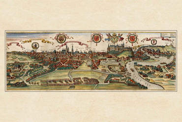
This is a reproduction print of a historical map