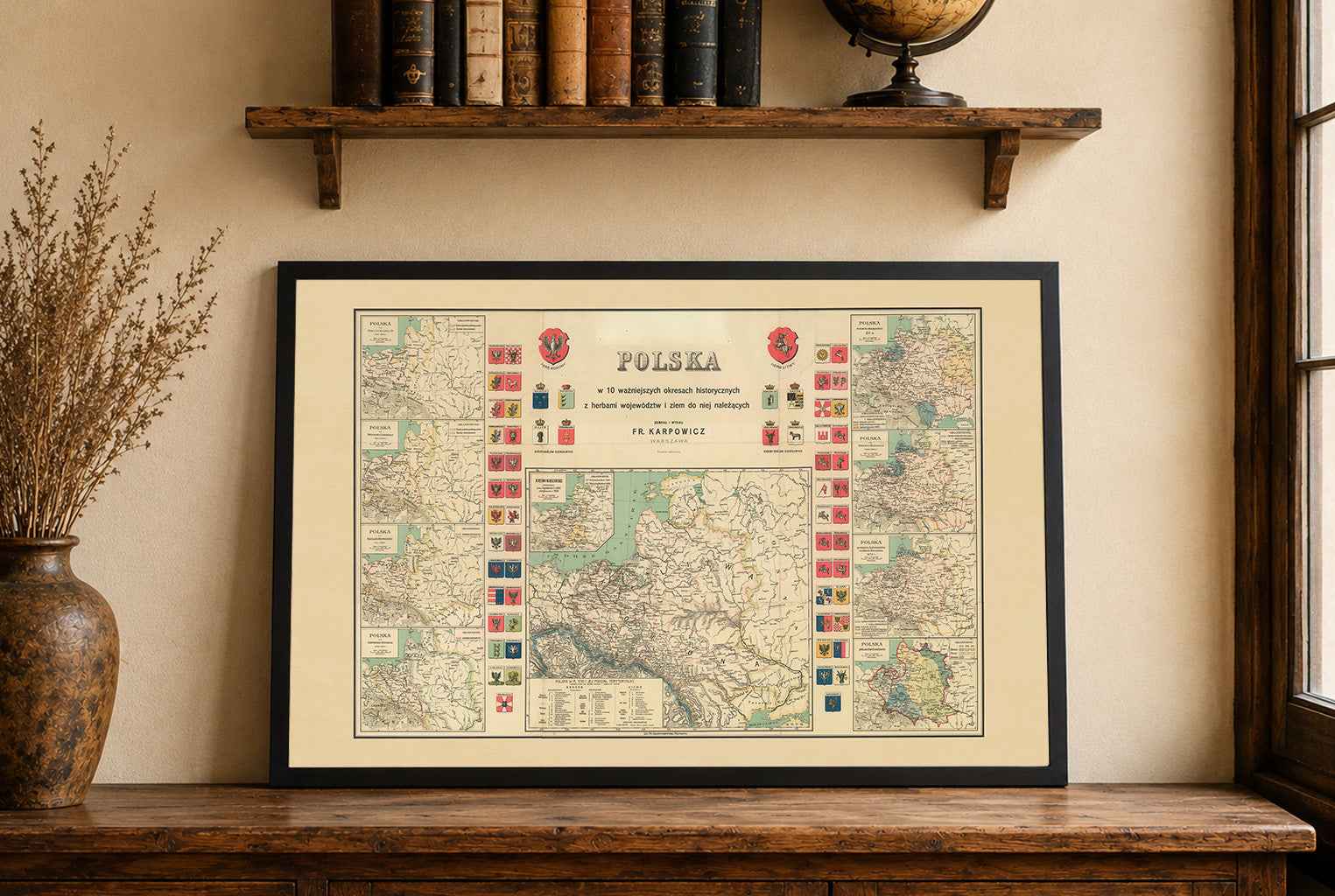


Discover a remarkable Historical Poland Map Poster published in Lwów between 1914 and 1918 by W. Kwapniewski. This richly detailed vintage map presents the historical territories of Poland and showcases the nation’s cultural and political heritage through an elaborate early 20th-century cartographic design.
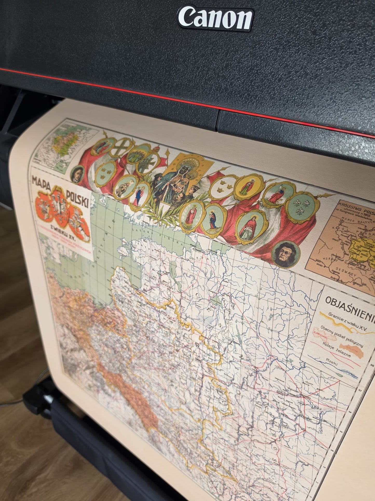
Printed in vibrant multicolor lithography, the map features historical borders, regional divisions, and terrain illustrated with traditional hachure shading. Decorative patriotic elements surround the composition, including the coats of arms of Poland, Lithuania, and Ukraine, a depiction of the Black Madonna of Częstochowa, portraits of Tadeusz Kościuszko and Adam Mickiewicz, as well as heraldic medallions and national symbolism characteristic of Polish historical art from the independence era.
The poster also includes several inset historical maps presenting:
- The Partitions of Poland (1772, 1793, 1795)
- The Kingdom of Poland established during the Congress of Vienna in 1815
- The Free City of Kraków (1815–1846)
Combining educational historical content with ornate vintage aesthetics, this antique Poland map poster is perfect for collectors, historians, genealogy enthusiasts, teachers, and admirers of Polish heritage. Its detailed artwork and symbolic imagery make it an exceptional decorative piece for offices, libraries, studies, classrooms, and traditional interiors.
Printed in a classic historical atlas style, this reproduction captures the spirit of Poland’s national identity and historical legacy.
This is a reproduction print of a historical map