


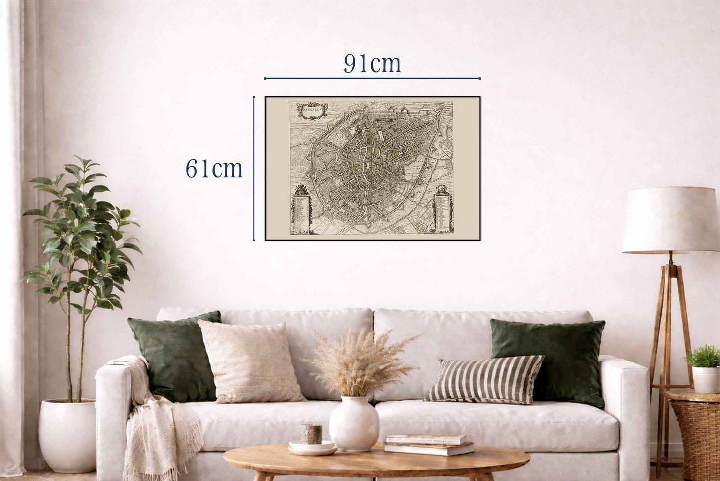
The image depicts "Bruxella," a map of Brussels, authored by Joan Blaeu and Willem Janszoon Blaeu, published in 1652. This work is part of Blaeu’s "Toonneel der Steeden van s'Konings Nederlanden, met hare Beschryvingen," a city atlas from the mid-17th century. Composition and Medium: The map is an engraved illustration, typical of the period, characterized by meticulous detail and precision. The craftsmanship reflects the high standards of cartographic art in the Dutch Golden Age, emphasizing both functionality and aesthetic appeal.




Rotterdam is always 5 stars.
The quality of the canvasses are great!
Le mappe sono piene di particolari, davvero delle bellissime stampe.