

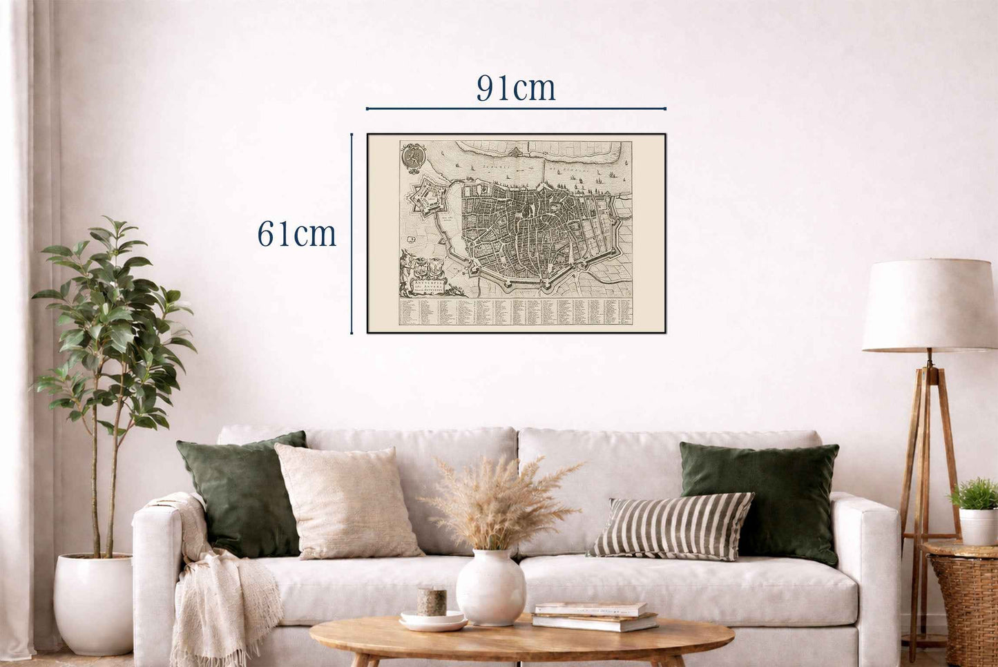
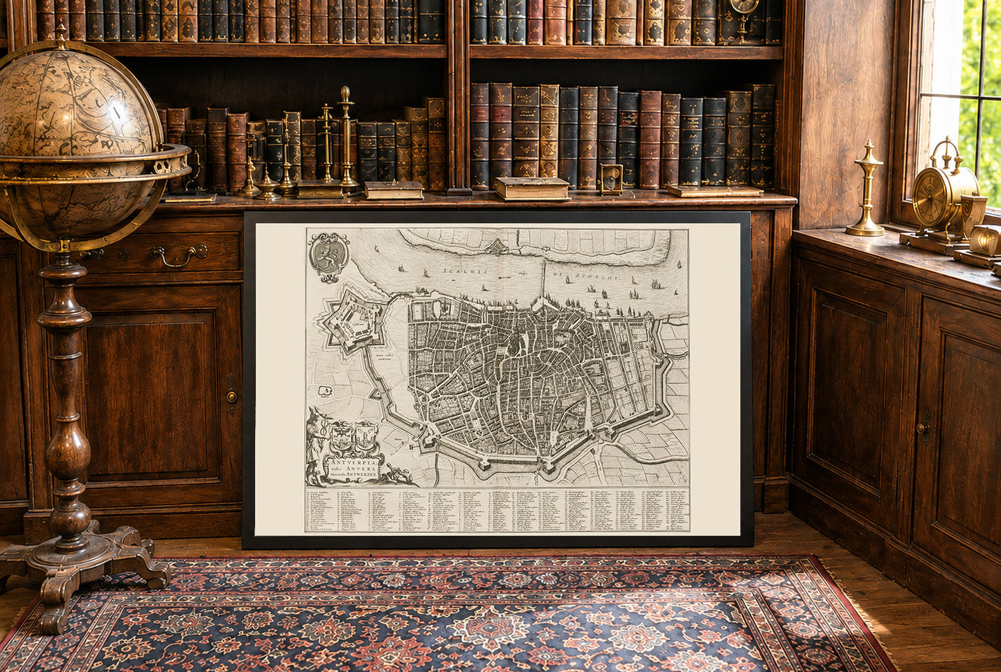
This work is a detailed city map titled "Antuerpia; Gallis Anvers:. Vernacule Antwerpen," created by Joan Blaeu and Willem Janszoon Blaeu in 1652.. The map is a depiction of Antwerp, Belgium, and is included in Volume Two of Blaeu’s townbooks of the Netherlands. The map is a finely detailed engraved depiction of Antwerp, showcasing the city’s layout during the mid-17th century. It combines both artistic and cartographic elements, characteristic of Blaeu’s work. The map is presented in black and white, with intricate details of streets, buildings, and fortifications.




Rotterdam is always 5 stars.
The quality of the canvasses are great!
Le mappe sono piene di particolari, davvero delle bellissime stampe.