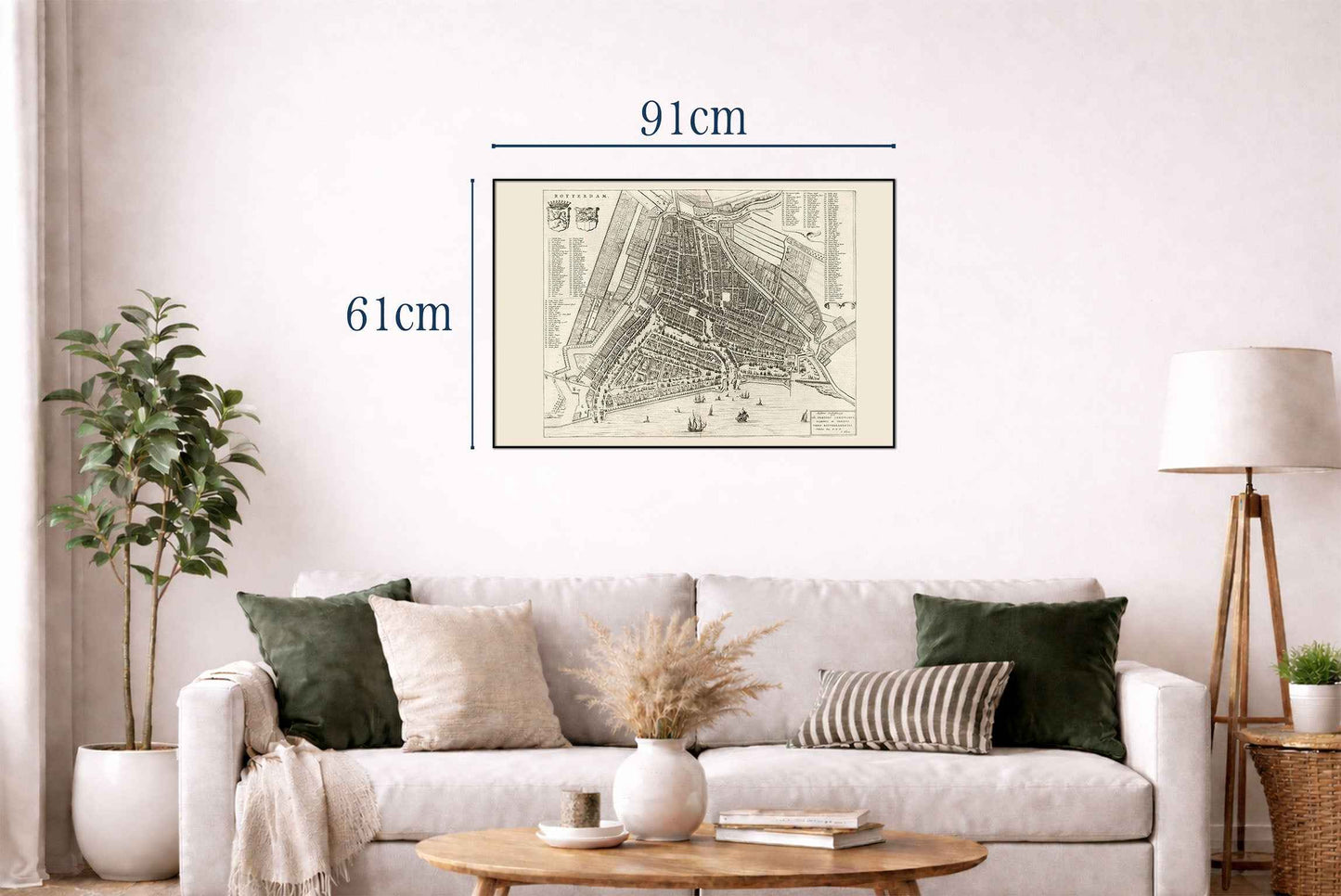
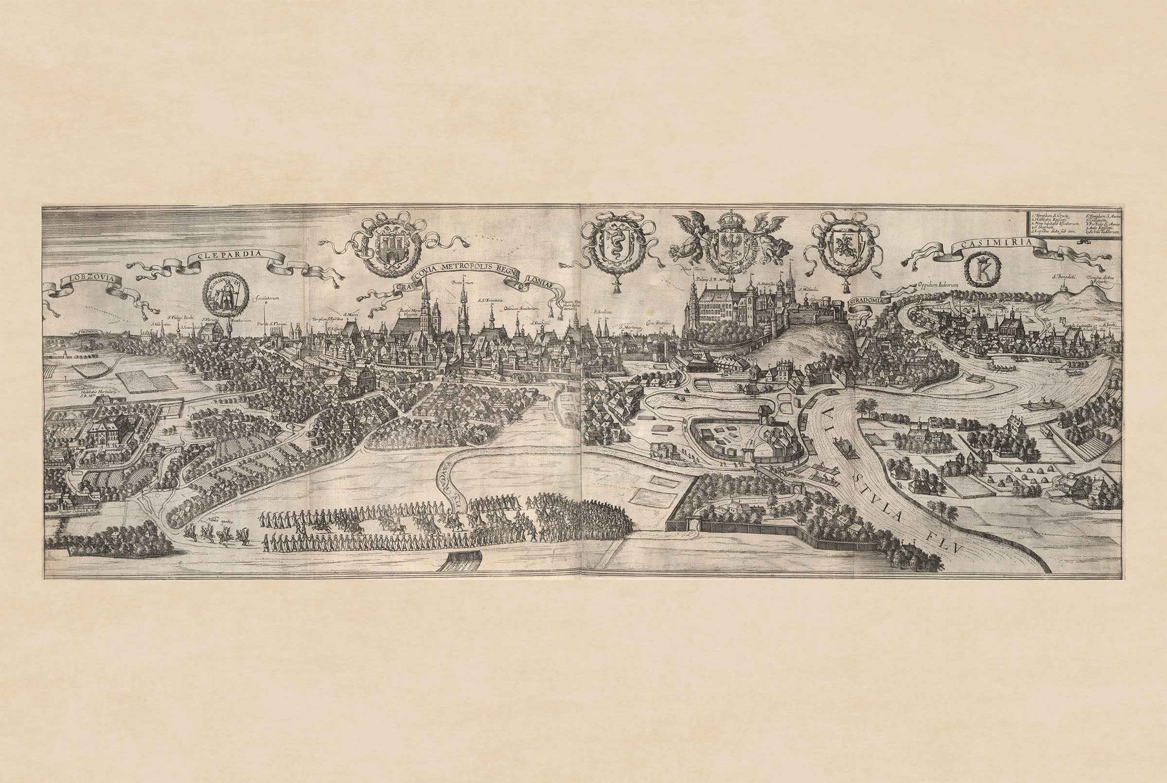
This work is a detailed map of Rotterdam, created by Joan Blaeu and Willem Janszoon Blaeu, published in 1652. The map is part of Blaeu’s renowned city atlas, "Toonneel der Steeden van s'Konings Nederlanden, met hare Beschryvingen," a significant work in the history of cartography. This map is a part of Volume One of the atlas, which was published in the Netherlands during the mid-17th century. The map is a black-and-white engraving, showcasing intricate details of Rotterdam's city layout during the 17th century. It features a bird's-eye view, typical of the period’s cartographic style, providing a comprehensive perspective of the city’s streets, waterways, and architecture.
This is a reproduction print of a historical map