


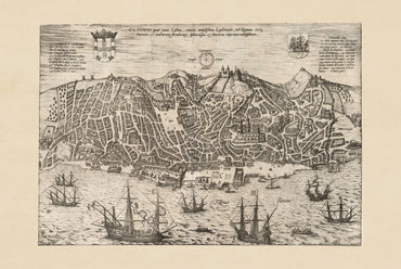

Excellent print, the fabric also is really nice and robust. Absolutely recommended

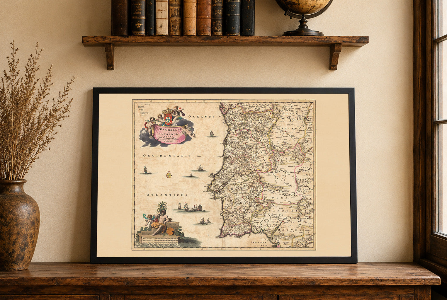
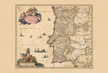
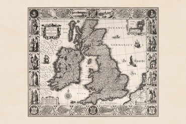
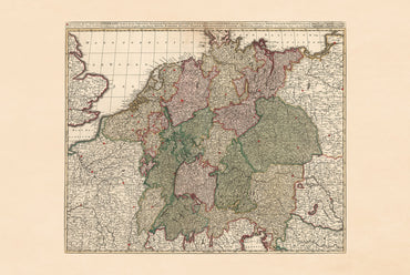
So many great options but in the end I choose these two, really glad I did.

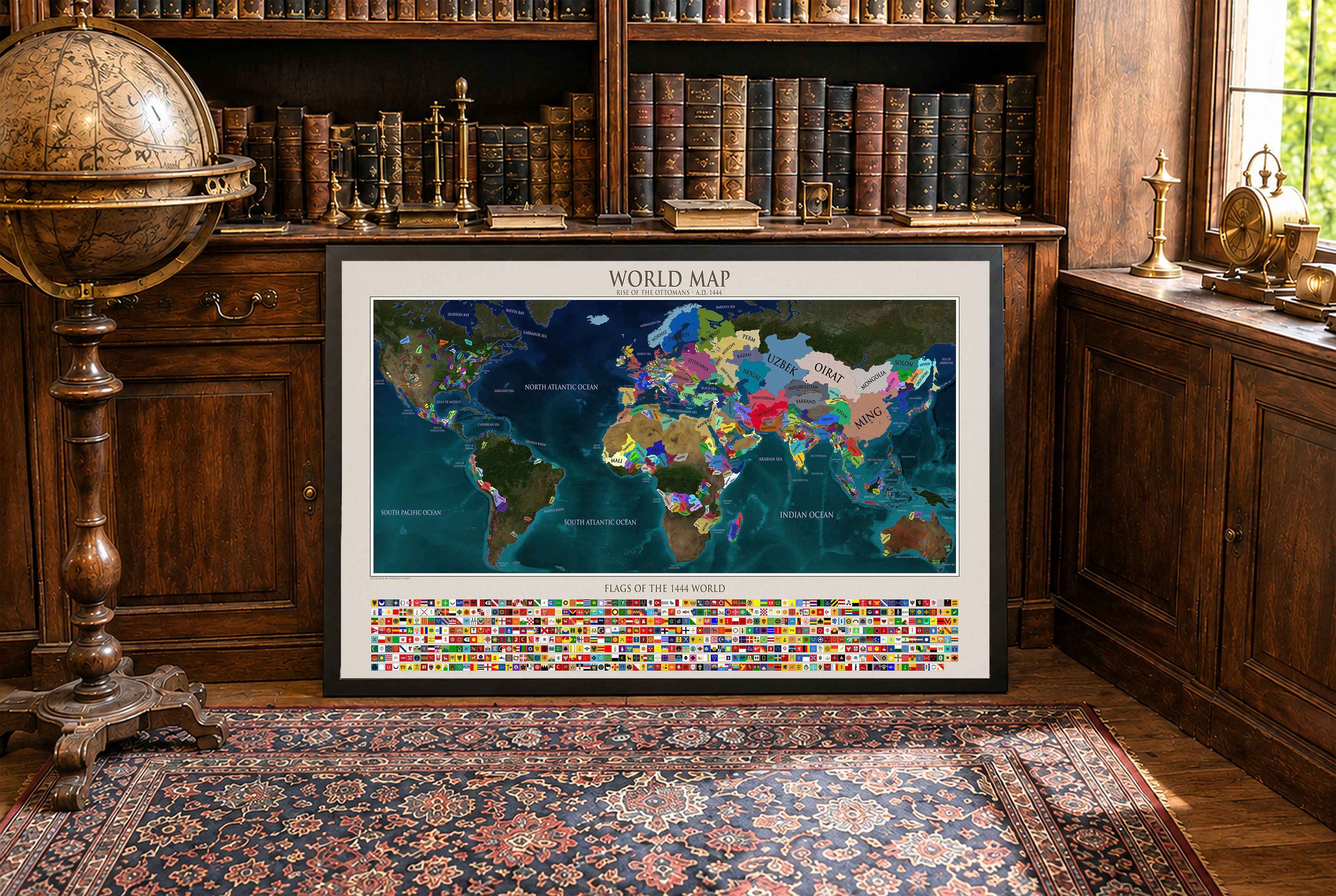
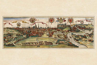
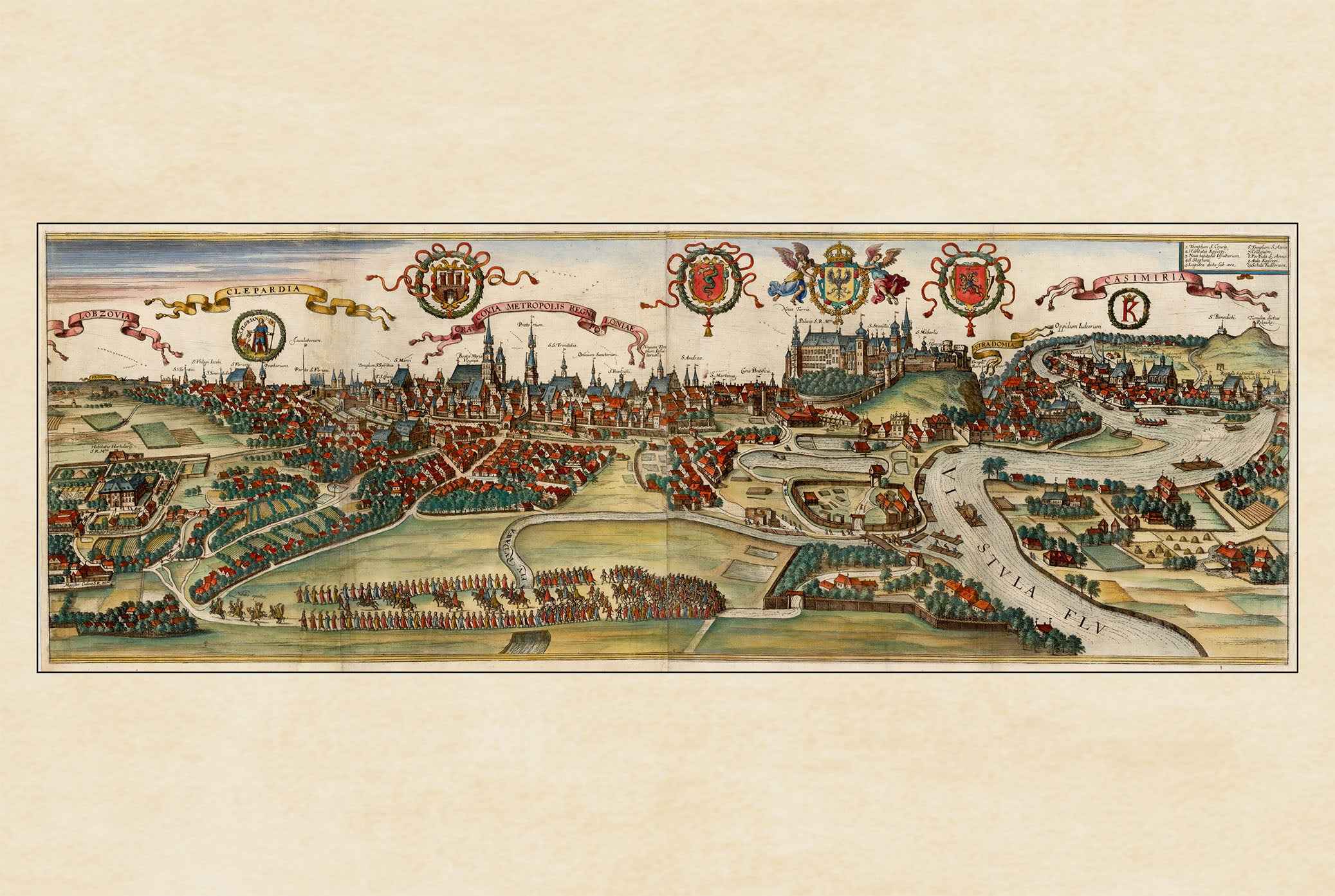
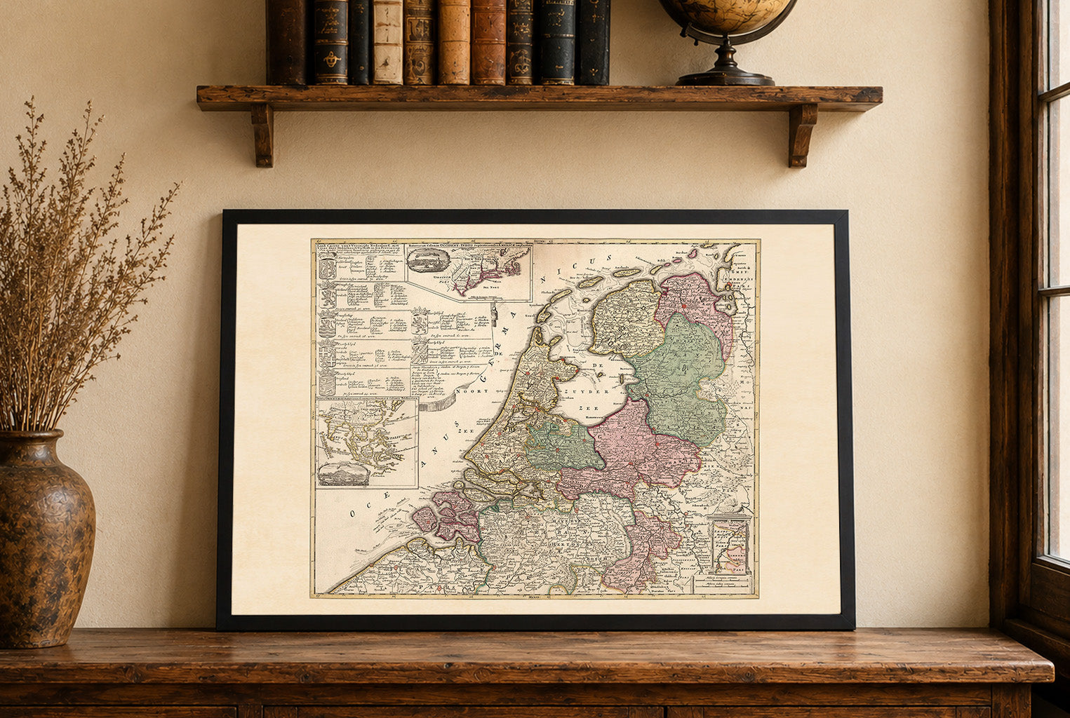
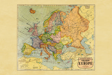
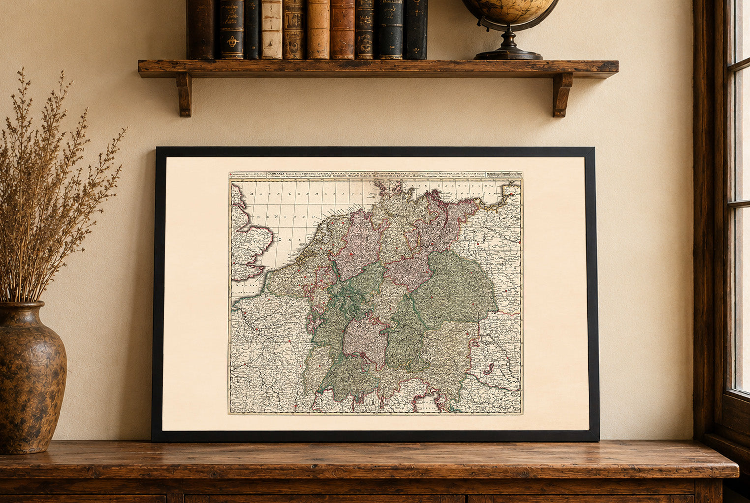
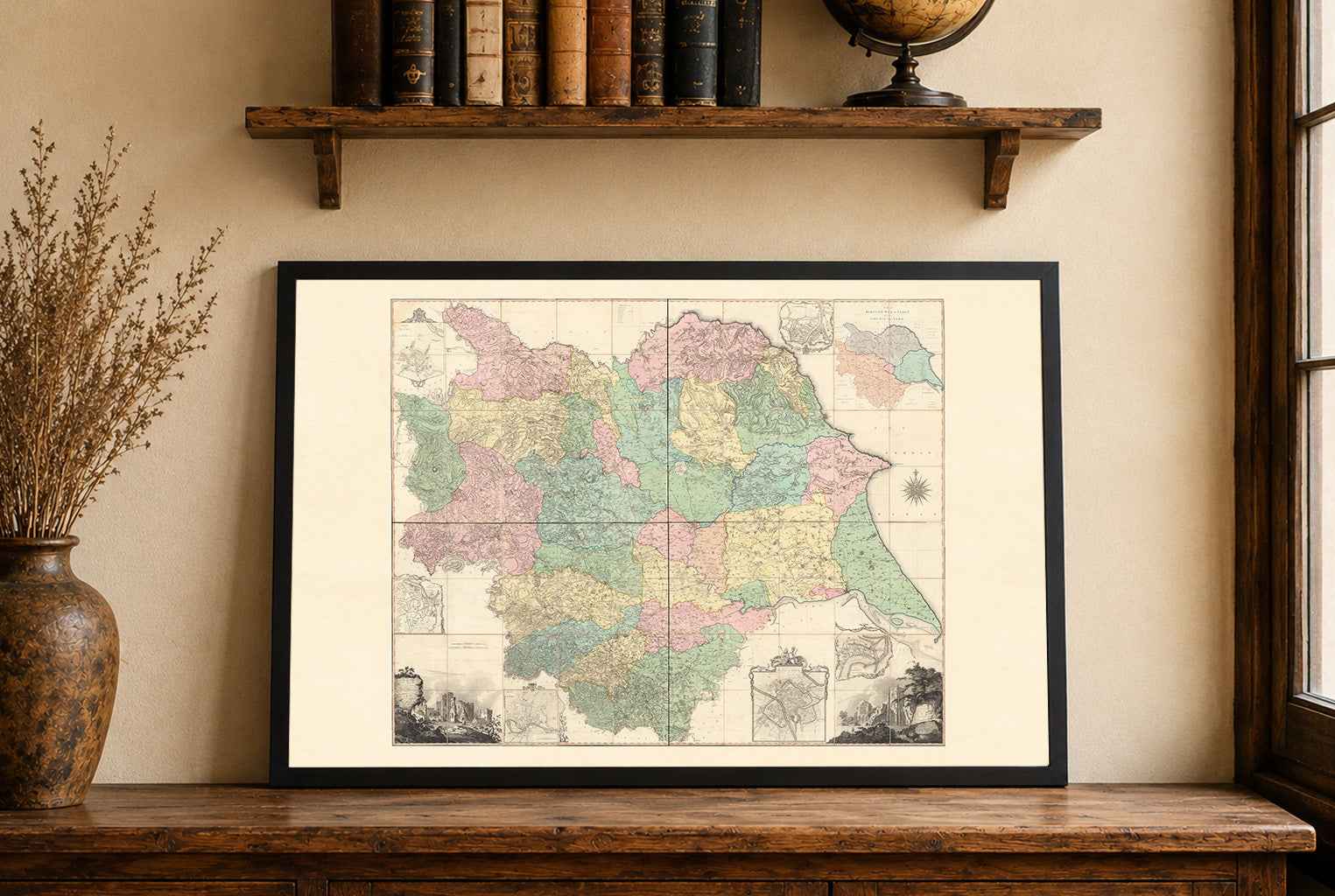
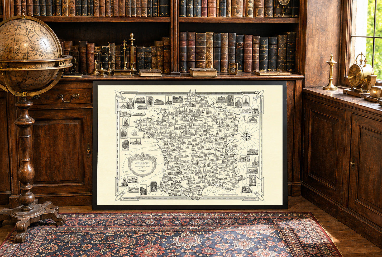
Very happy with this purchase, it looks great in my living room!

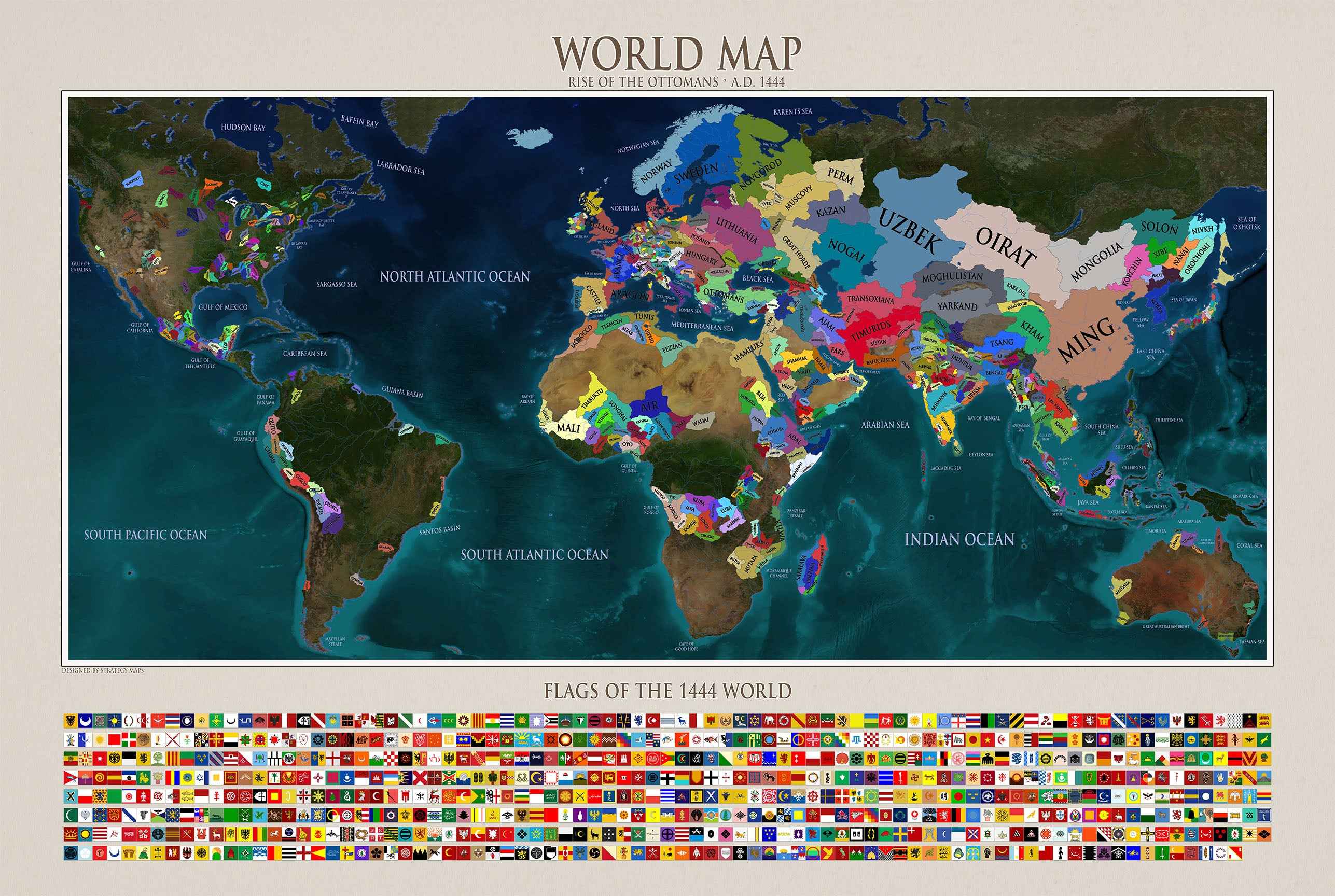
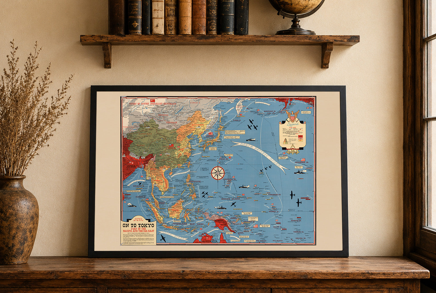
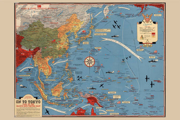
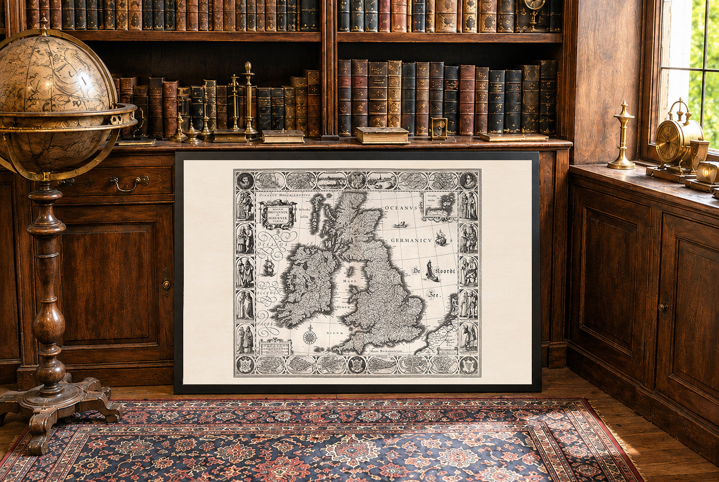
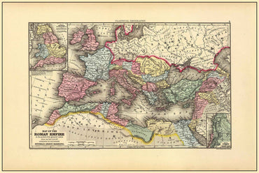
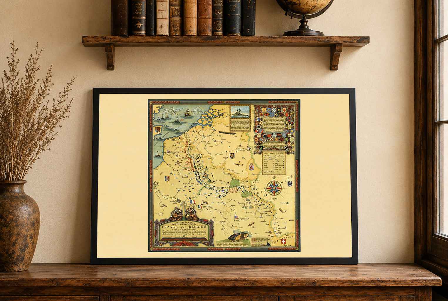
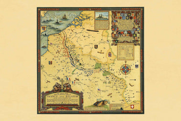
Great map. I gave it as a present to a friend who is really into World War 2 and he loved it. There are lots of details on the map like important battles or the straight distance between important islands and Tokyo. The quality of the frame and map are both great quality.
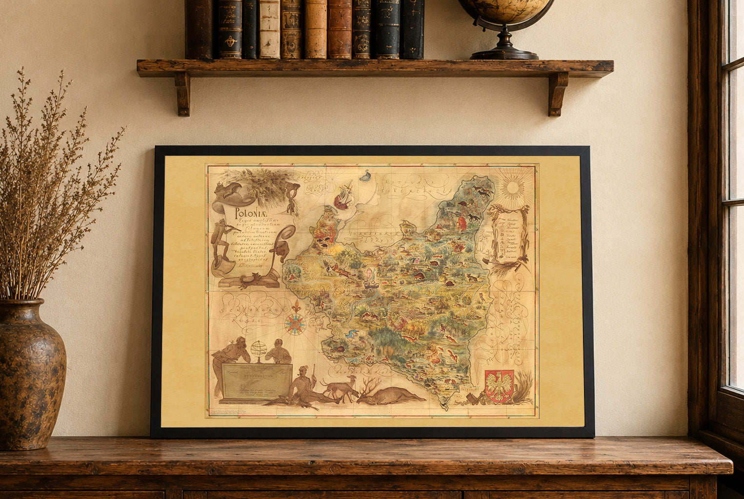
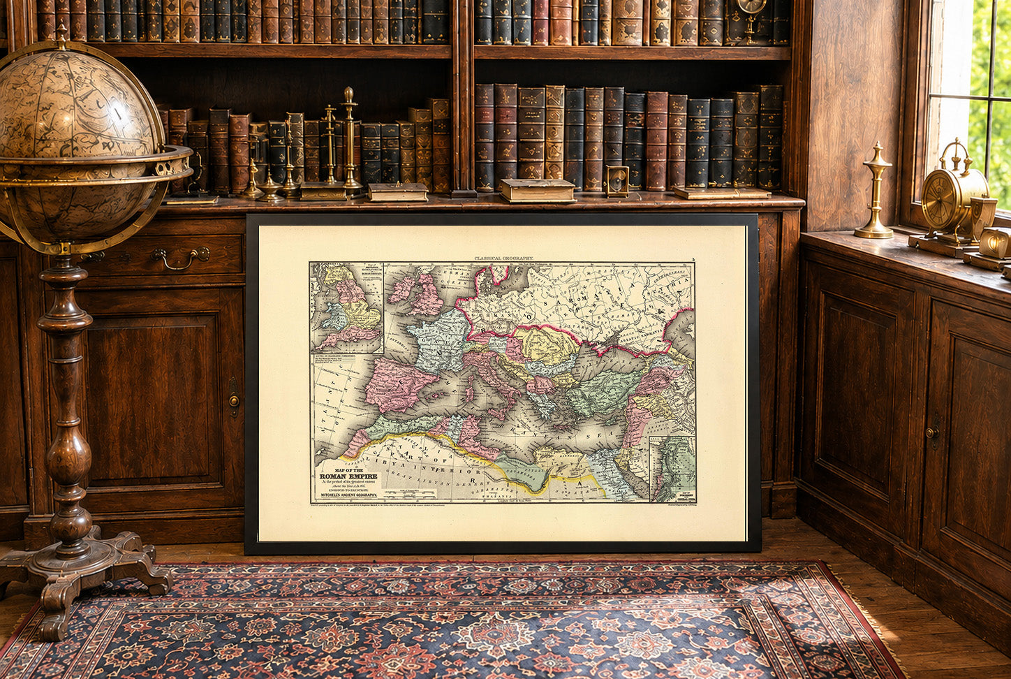
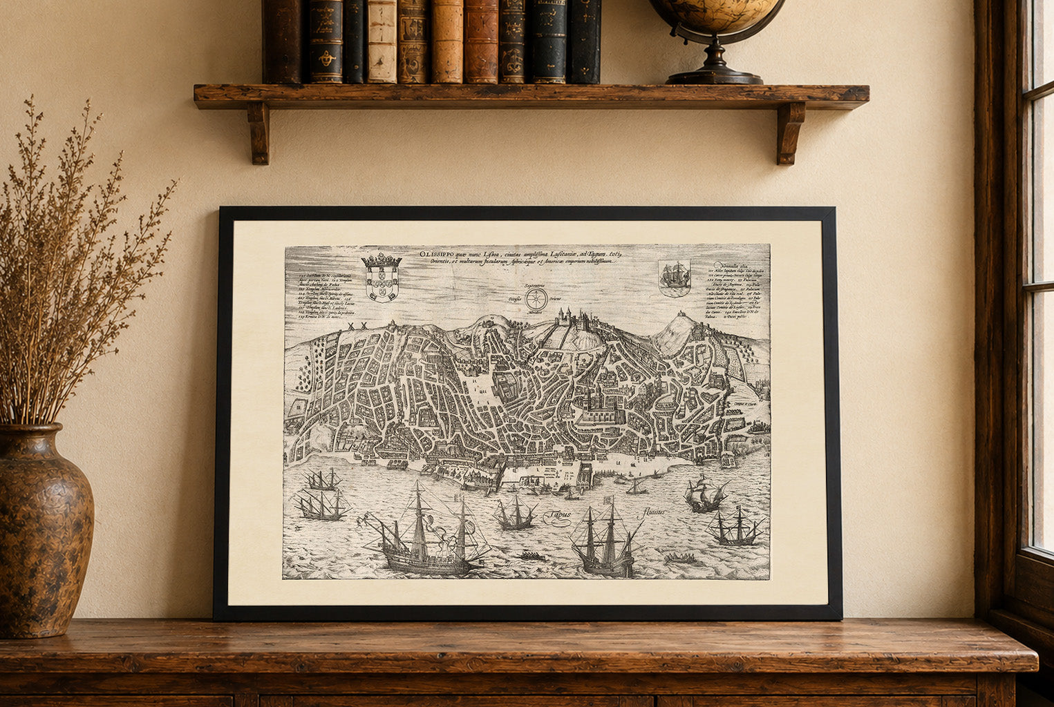
Incredible result, i would like to point out that during shipping the frame got damaged and we got a new one fast in perfect condition.