


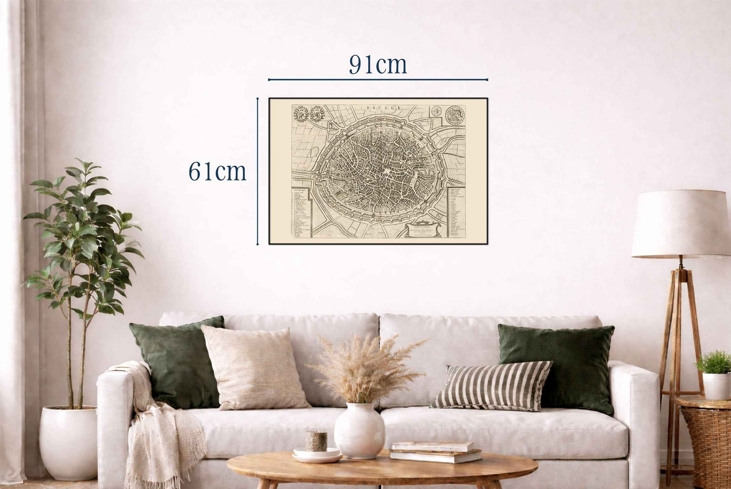
The work depicted is a detailed map of Brugge (Bruges), created by Joan Blaeu and Willem Janszoon Blaeu. This map, dated 1652, is part of a larger atlas titled "Toonneel der Steeden van s'Konings Nederlanden, met hare Beschryvingen," published by Joan Blaeu. The map is a meticulously engraved representation of Brugge, showcasing the city in a bird’s-eye view. It is part of an atlas that combines cartographic precision with artistic embellishments, characteristic of the Dutch Golden Age of cartography. The medium is likely an engraved print, common for maps of this era due to the level of detail achievable through engraving




Rotterdam is always 5 stars.
The quality of the canvasses are great!
Le mappe sono piene di particolari, davvero delle bellissime stampe.