

Rotterdam is always 5 stars.
The quality of the canvasses are great!
Le mappe sono piene di particolari, davvero delle bellissime stampe.
You might like


42 items

148 items

54 items

17 items

12 items

7 items

34 items

14 items

11 items

7 items
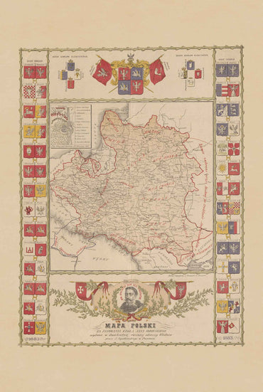
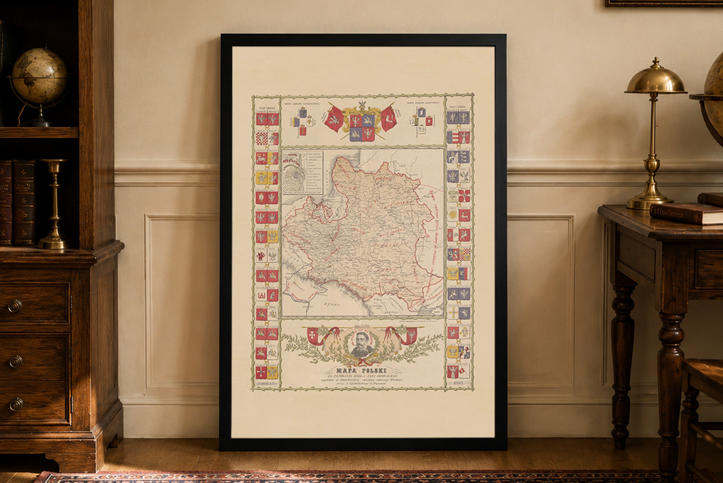
Discover a remarkable historical Poland map poster from the reign of Jan III Sobieski, published in 1883 by the Lithographic Institute of L. Neumeyer in Poznań....
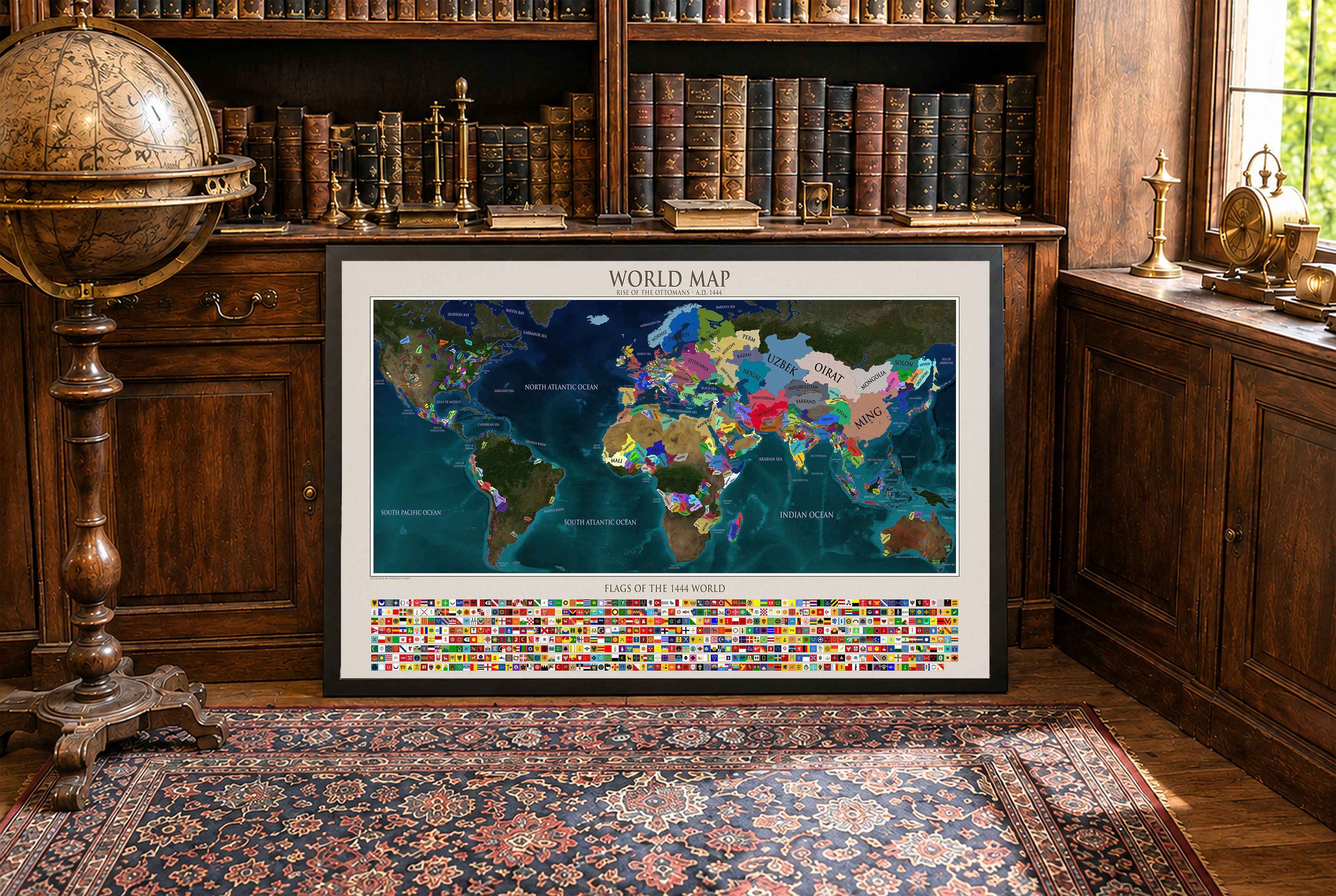
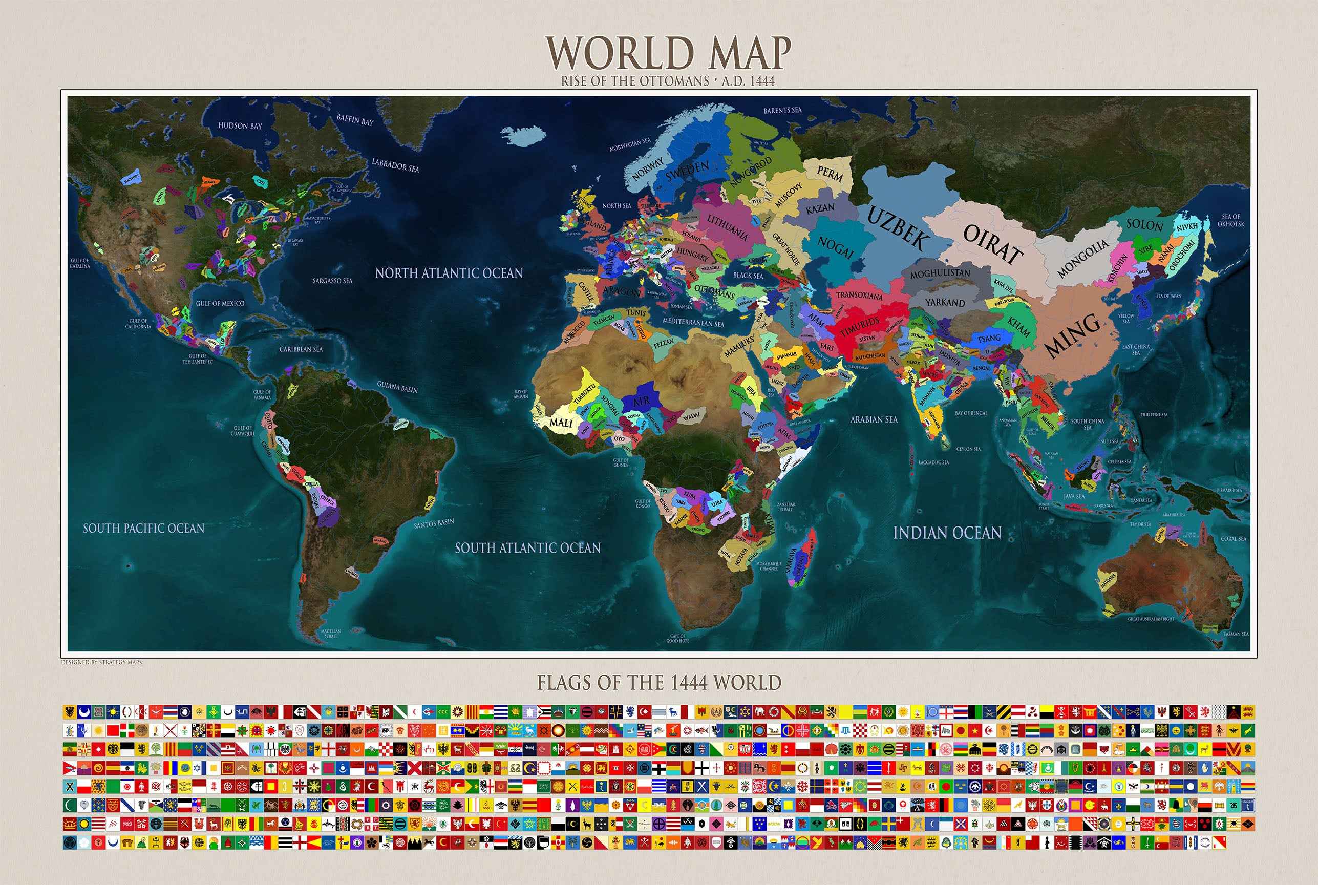
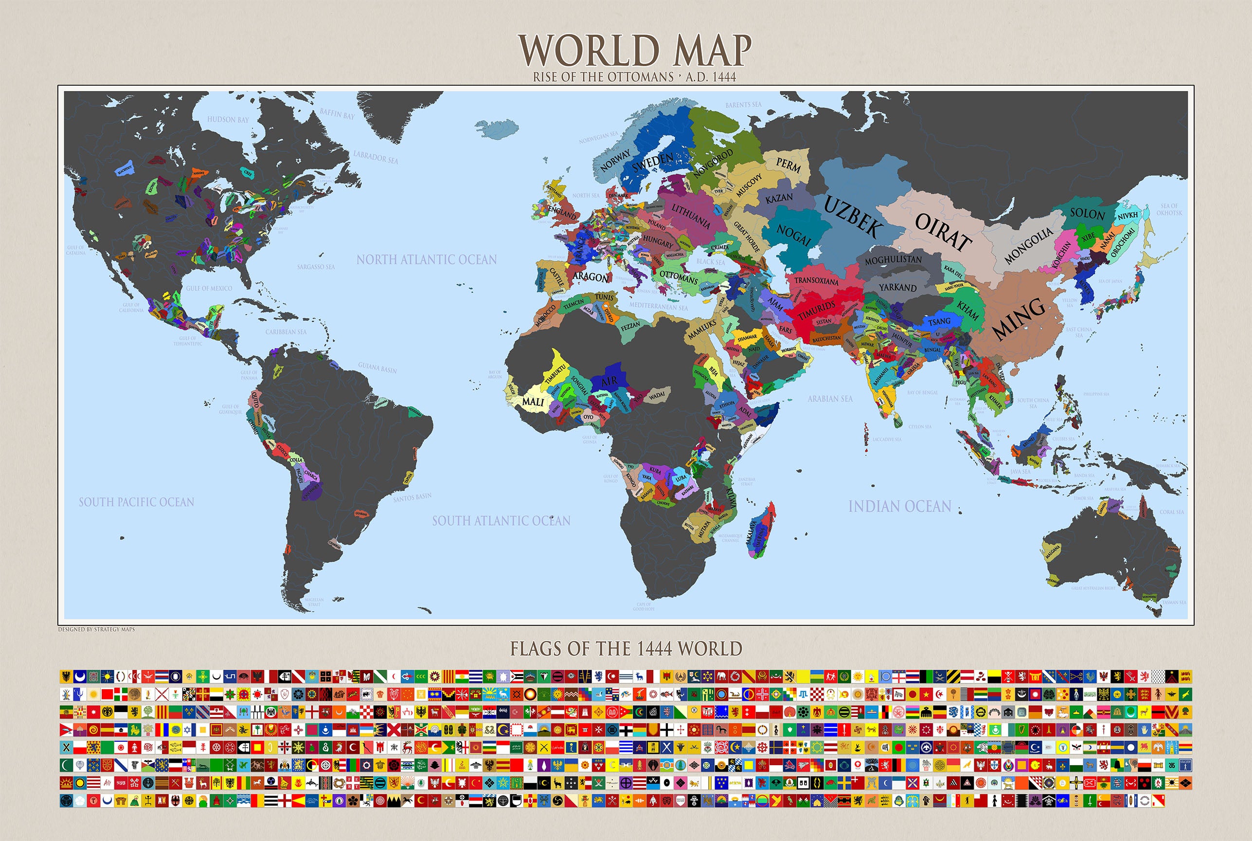
Travel back to the year 1444 with this detailed world map created by Strategy Maps. Designed from the ground up by our team, this historical political...
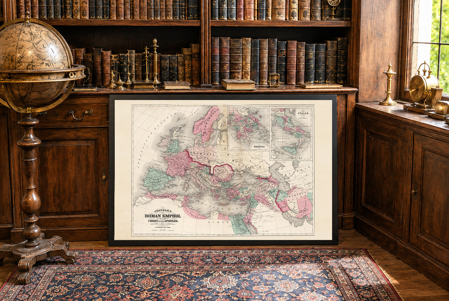
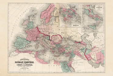
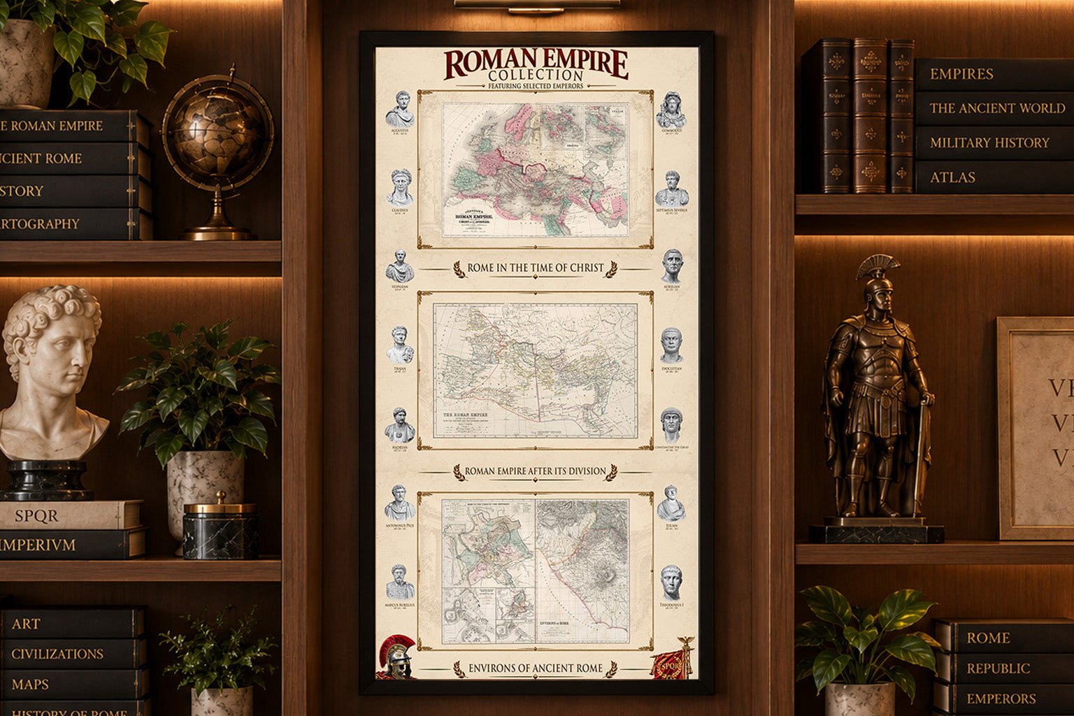
By A.D. 50, the Roman Empire had expanded further north and west, incorporating Britain’s southern regions after the invasion begun under Claudius in A.D. 43 while...
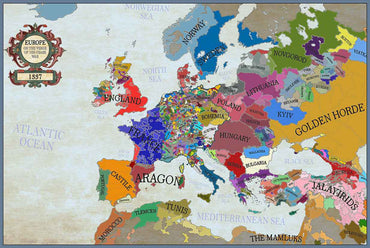
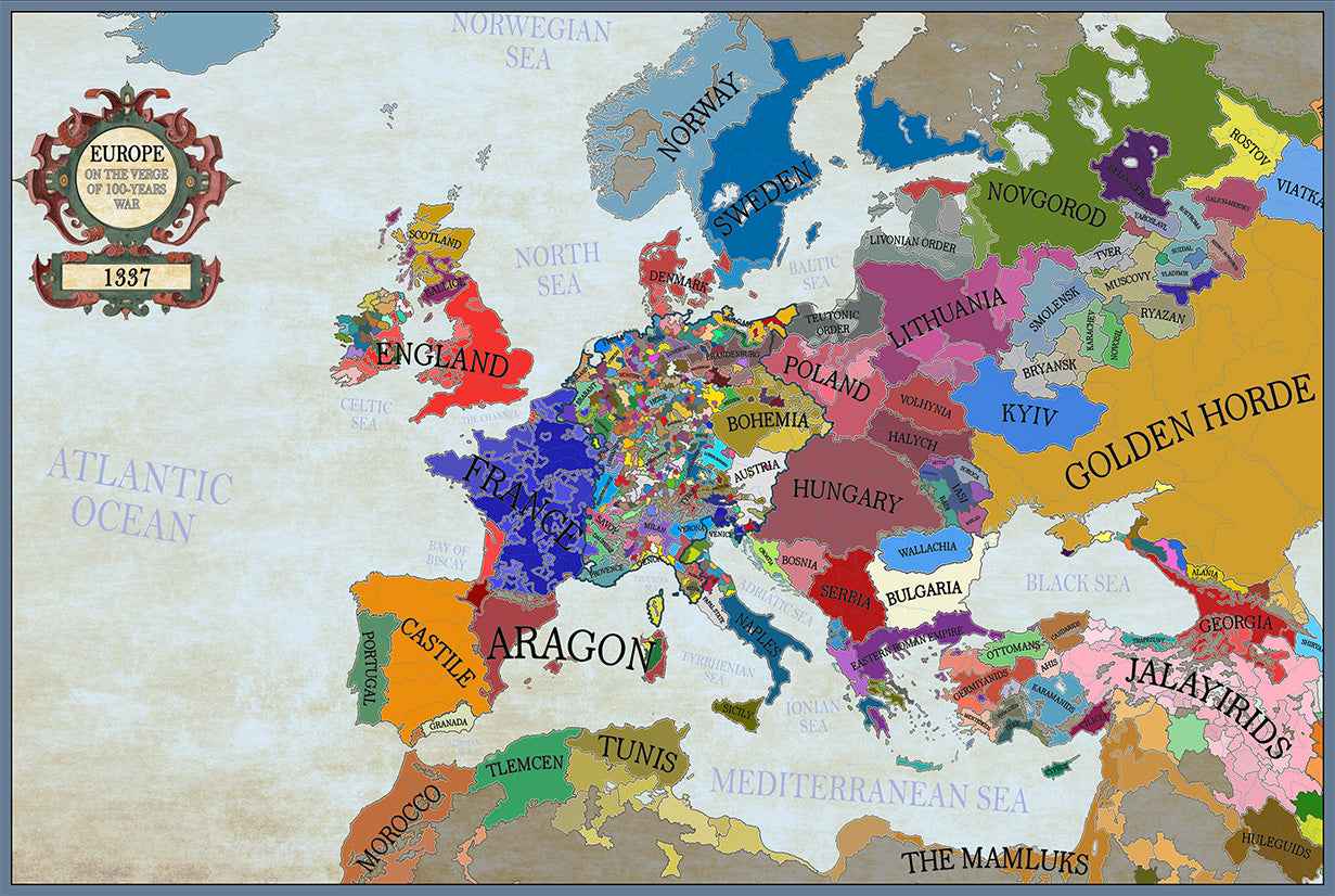
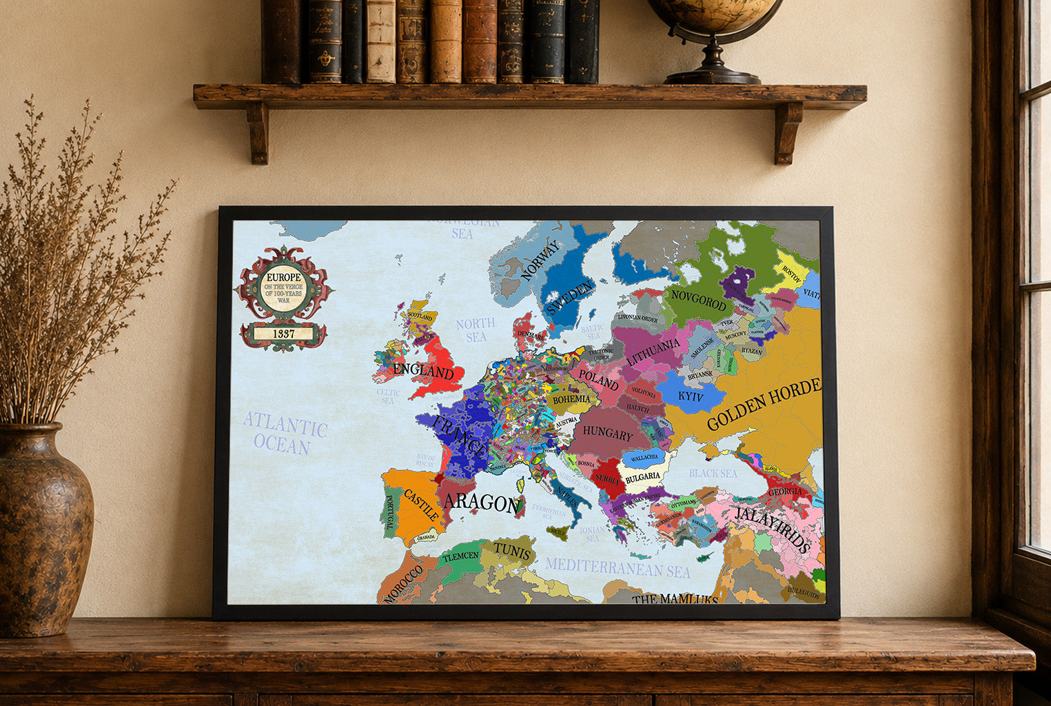
In 1337, Europe was a mosaic of kingdoms, principalities, and city-states, with major powers including the Kingdom of France, the Kingdom of England, and the decentralized...
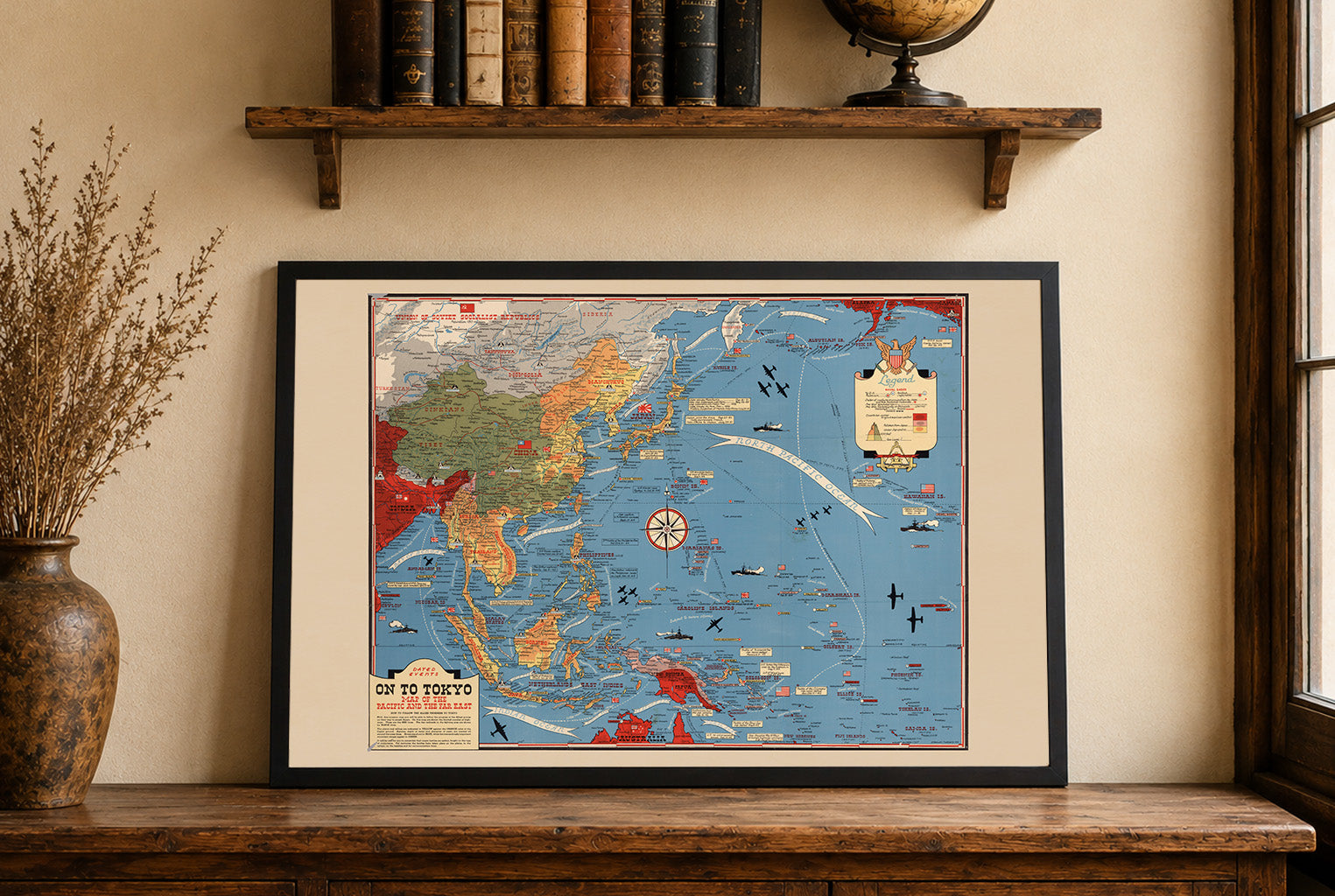
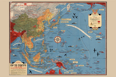
This work is titled "On To Tokyo: Map of the Pacific and the Far East," created by Stanley Turner in 1944. Published by C.C. Petersen Publishing...
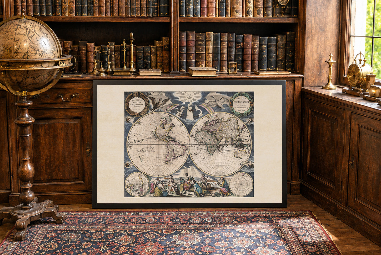
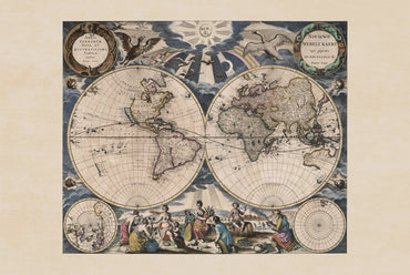
The work titled "Nieuwe Werelt Kaert" by Pieter Goos, dated 1667, is a beautifully detailed world map, measuring 55 cm in width and 45 cm in...
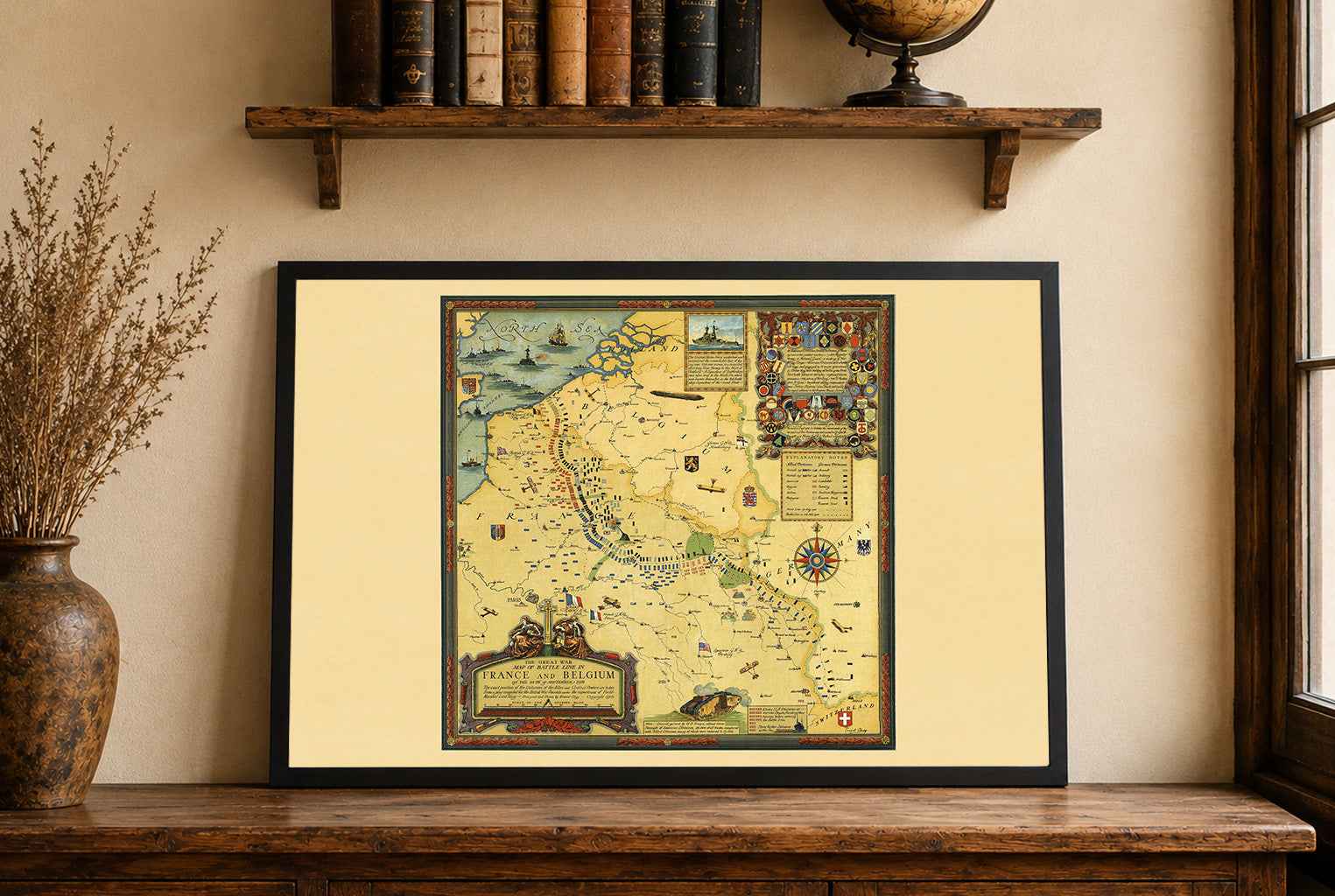
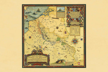
Explore one of the most detailed visual records of the First World War with this remarkable Great War Battle Lines Map Poster, designed by Ernest Clegg...
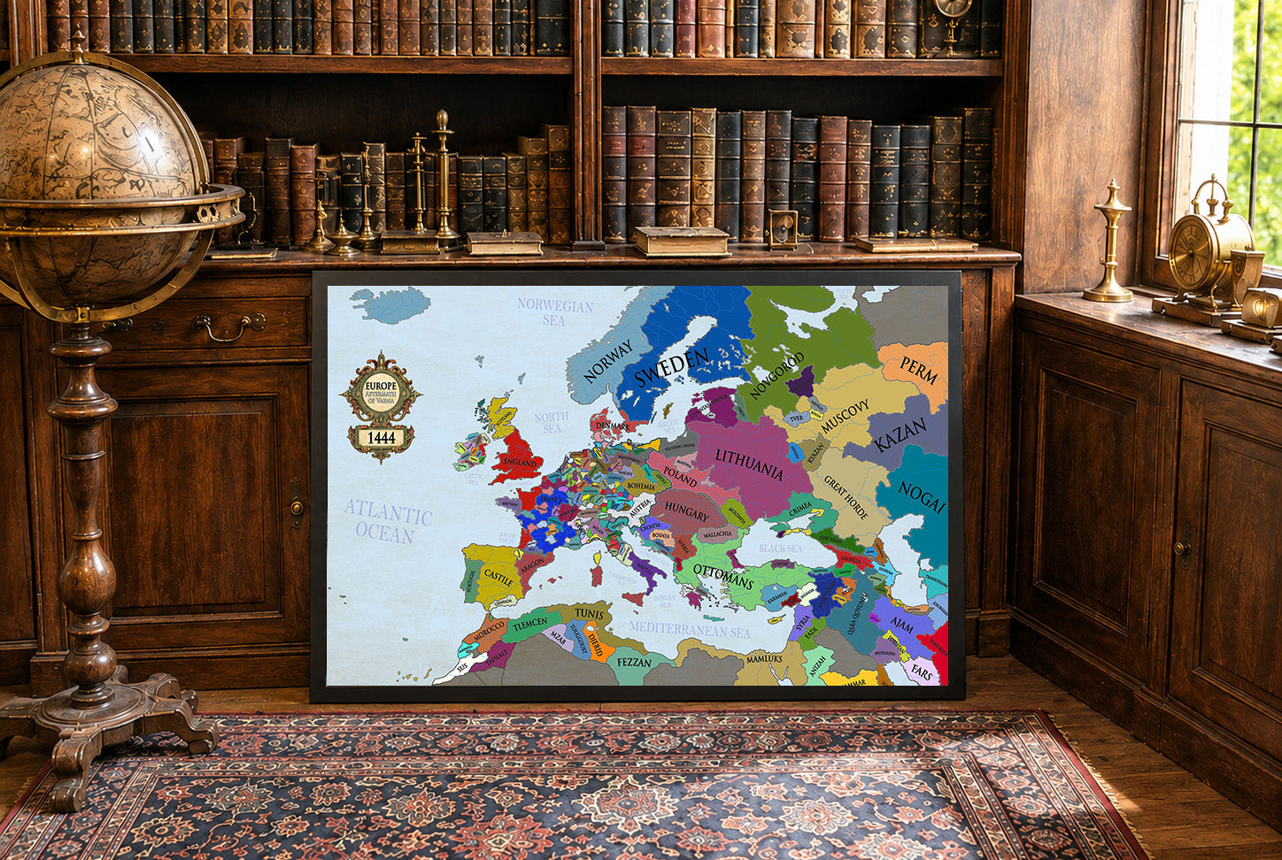
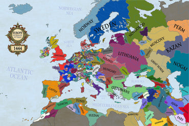
The year 1444 marked a turning point in European history, defined by shifting kingdoms, dynastic struggles, and the dramatic aftermath of the Battle of Varna. This...
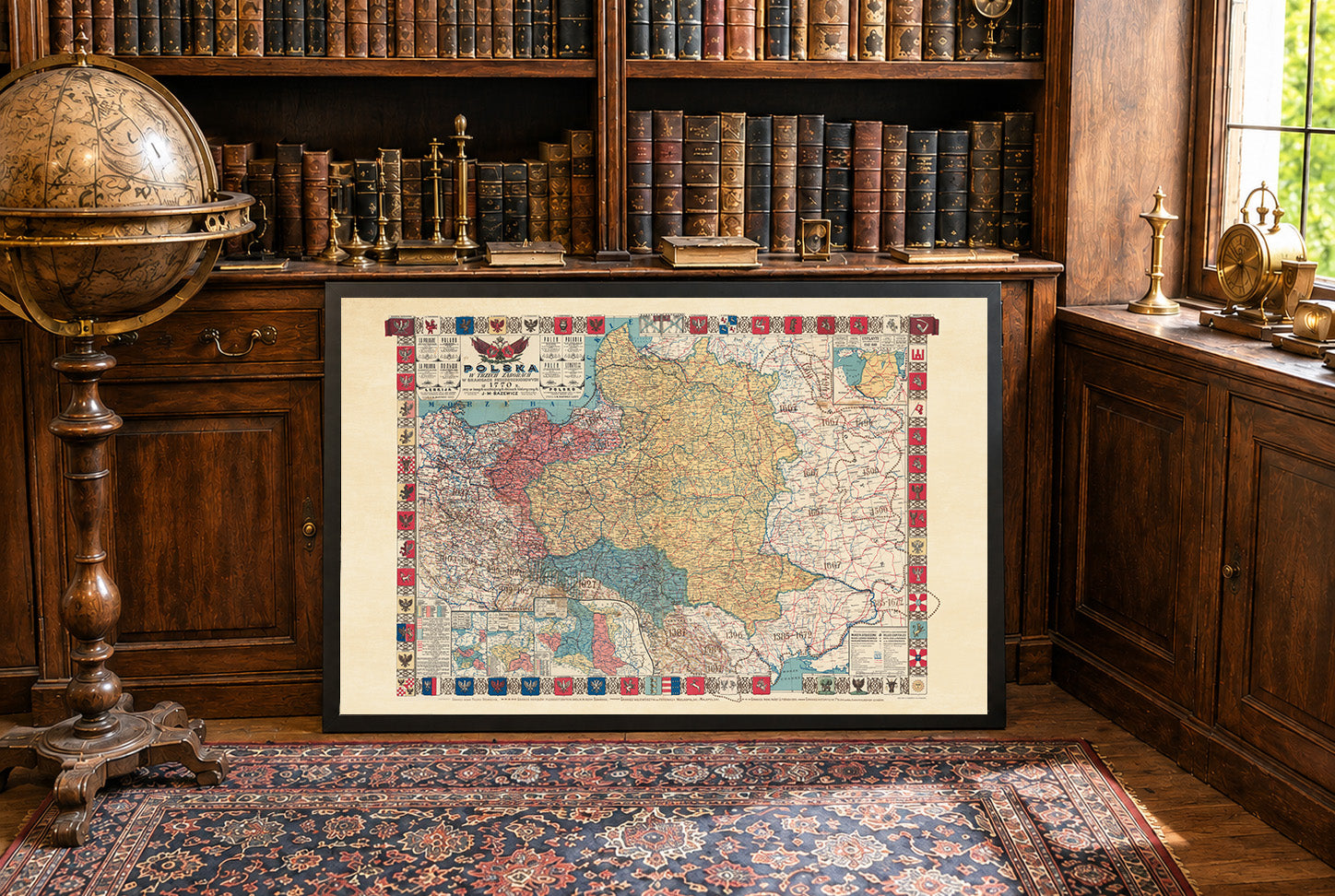
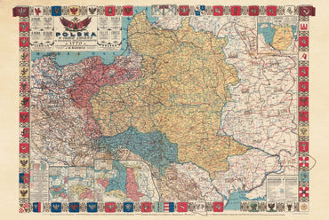
In 1770, the Polish-Lithuanian Commonwealth was one of the largest states in Europe but had become politically weakened by internal divisions and growing influence from neighboring...
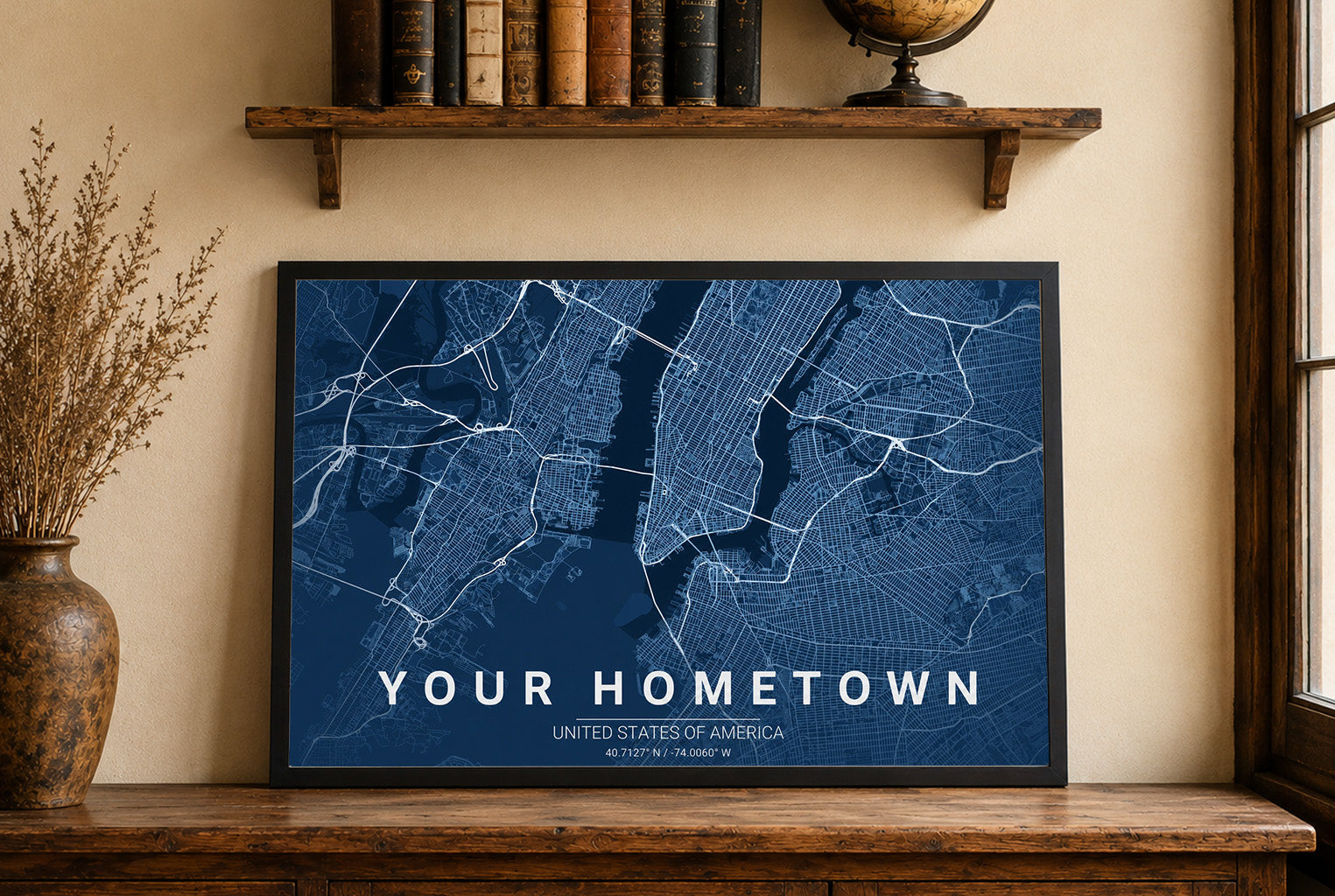
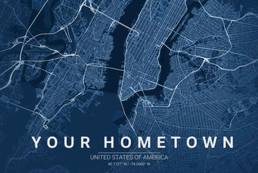
Celebrate the place that means the most to you with a fully personalized Custom Blueprint Map, designed using your hometown, favorite city, or any location in...
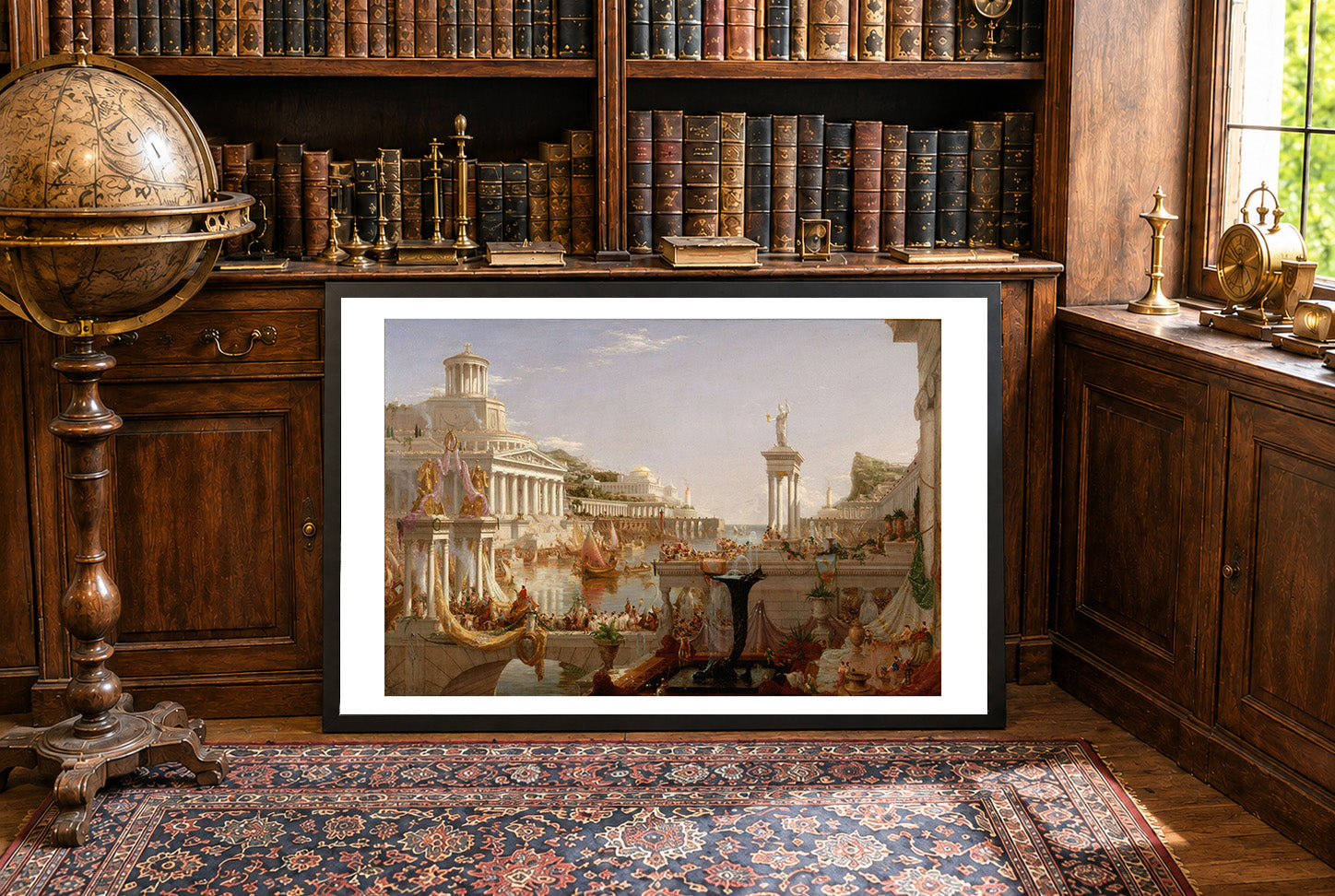
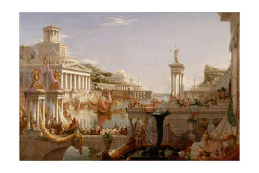
Discover the grandeur and ambition of classical civilization with this breathtaking The Course of Empire: Consummation poster by Thomas Cole. Painted in 1836 as part of...
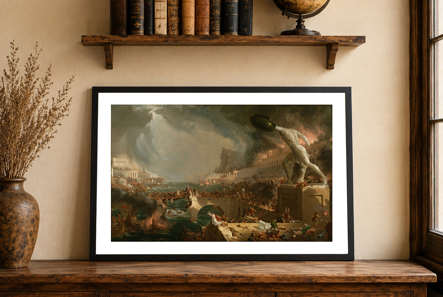
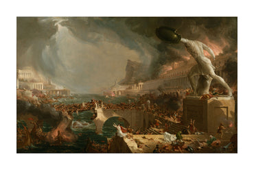
Experience the dramatic power of 19th-century American Romanticism with this stunning The Course of Empire: Destruction poster by Thomas Cole. Painted in 1836 as part of...
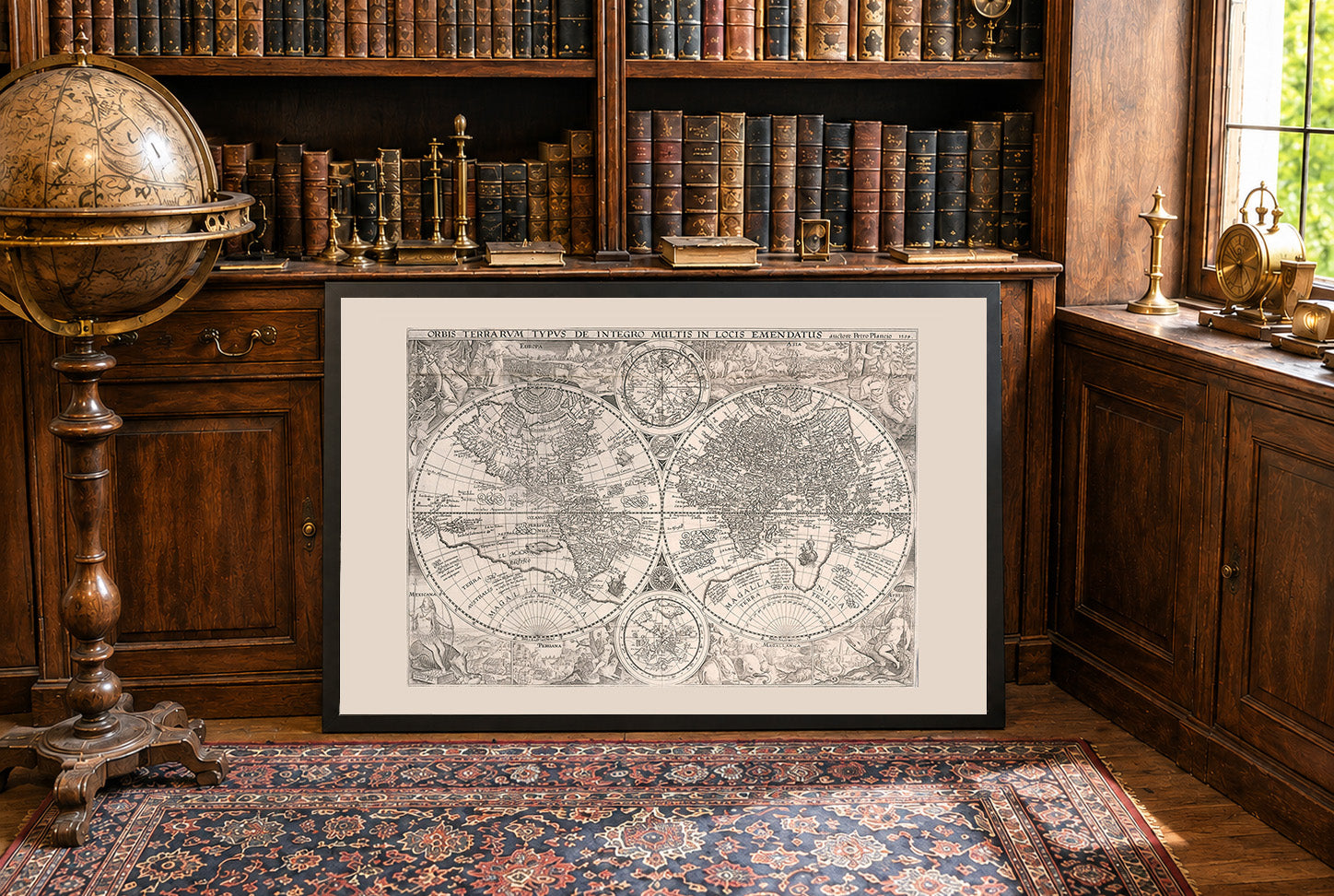
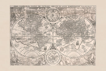
The work titled "Orbis Terrarum Typus de Integro Multis in Locis Emendatus" is a world map created in 1594 by Jan Huygen van Linschoten, with contributions...
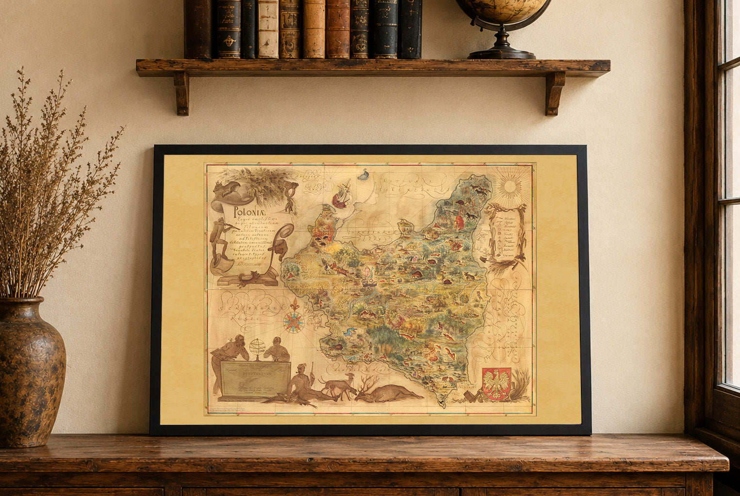
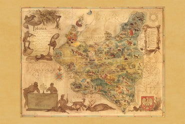
The artwork titled "Poloniae" was created by Tadeusz Lipski and Eliasz Kanarek in 1938. This pictorial map was printed by the Central Board of Polish State...
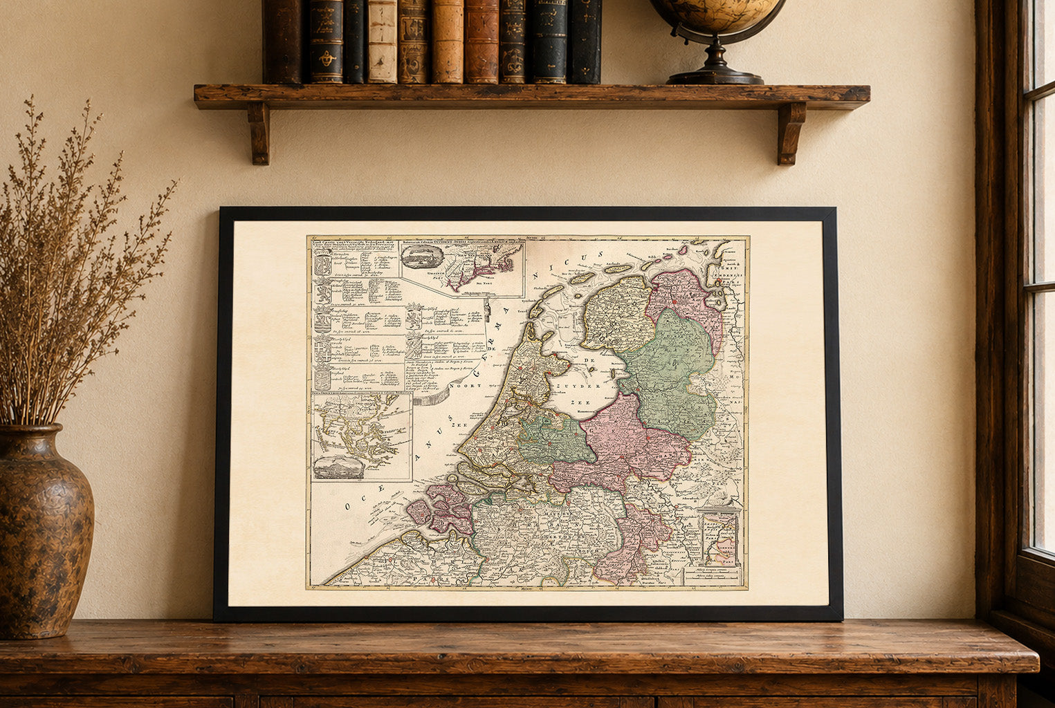
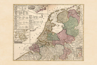
In 1740, the Dutch Republic was a federal republic composed of seven provinces governed by provincial estates and urban regent elites. Though still wealthy from global...
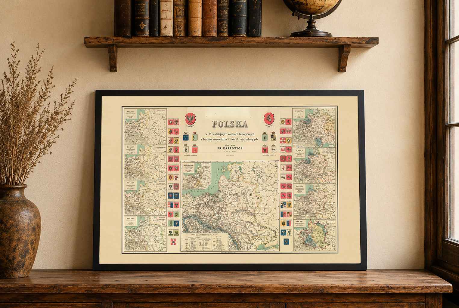
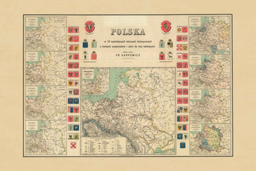
Explore over eight centuries of Polish history with this exceptional History of Poland Map Poster, featuring ten historical maps illustrating the territorial evolution of Poland from...
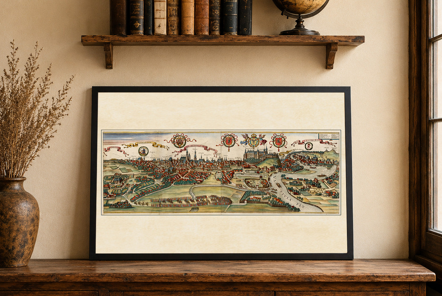
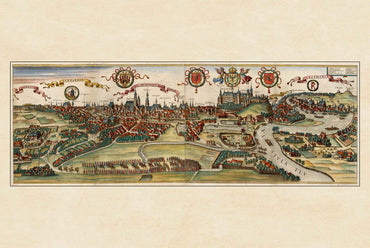
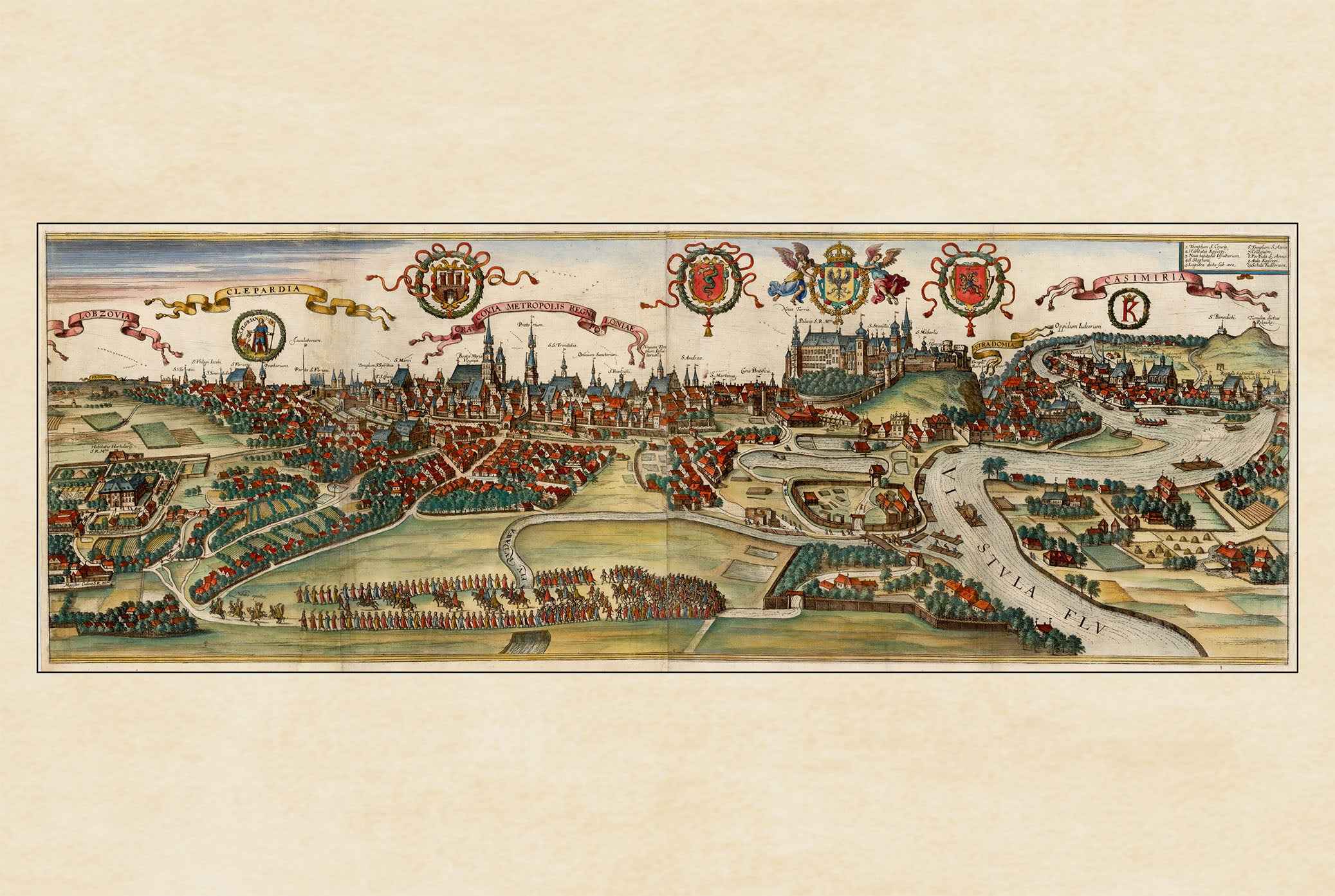
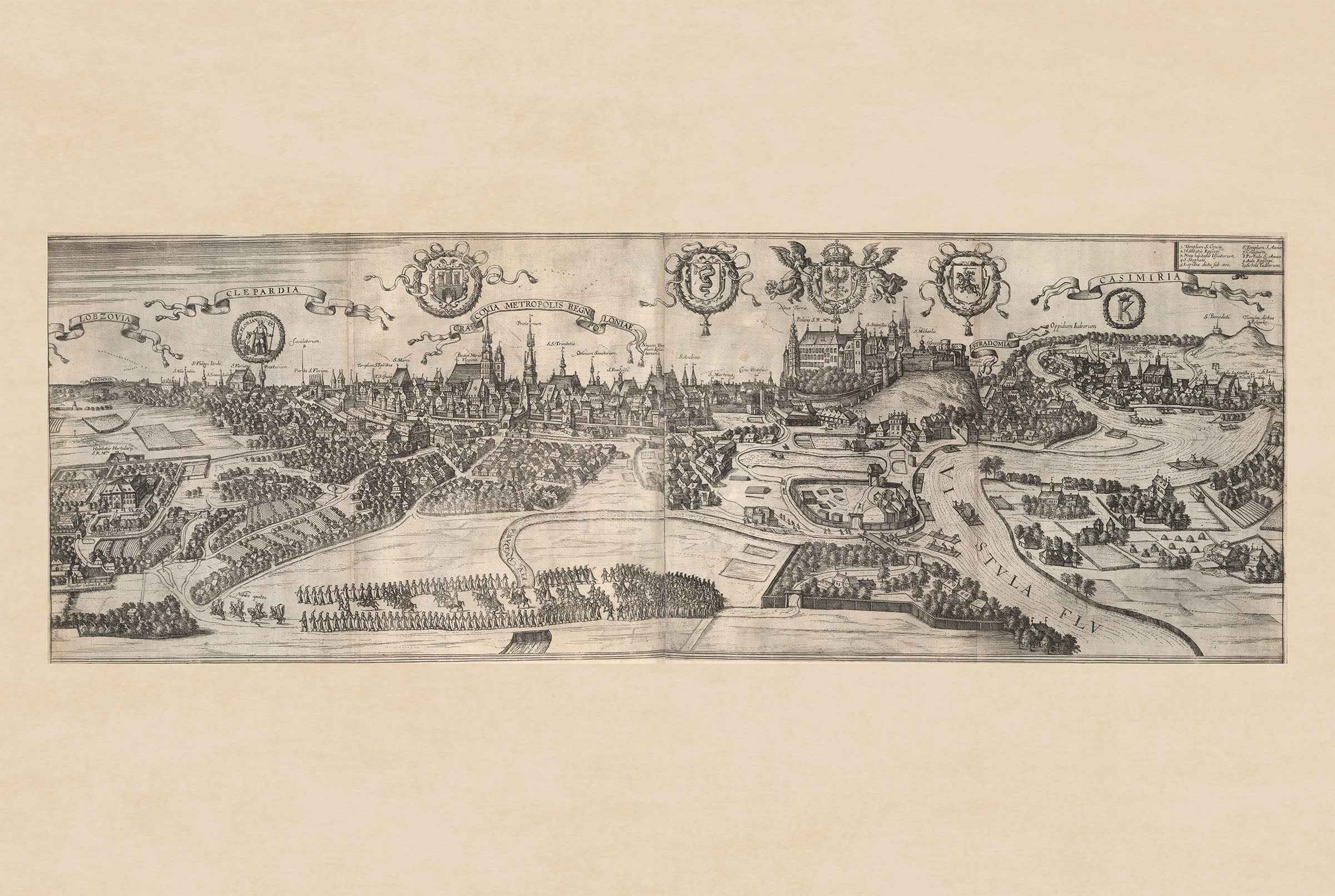
The image is a historical city view titled "Cracovia Metropolis" depicting Krakow, Poland, from the renowned atlas "Civitates Orbis Terrarum." Created by Georg Braun and Franz...
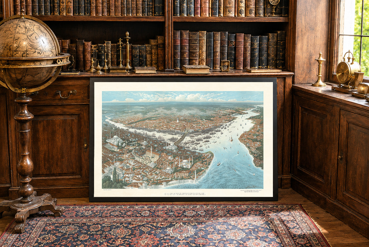
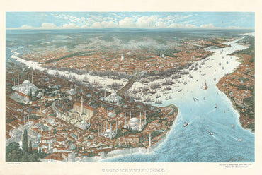
In 1896, Constantinople was the political and cultural center of the Ottoman Empire, ruled by Abdul Hamid II. The city remained one of the most important...
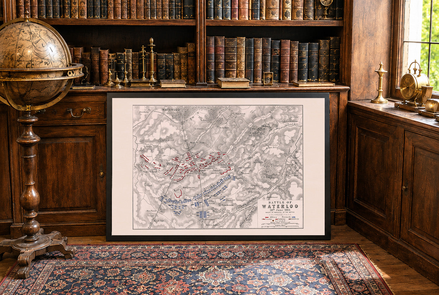
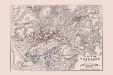
The image is a historical military map titled "Battle of Waterloo, 18 June 1815: sheet 1st., morning of the battle." It was created by Alexander Keith...
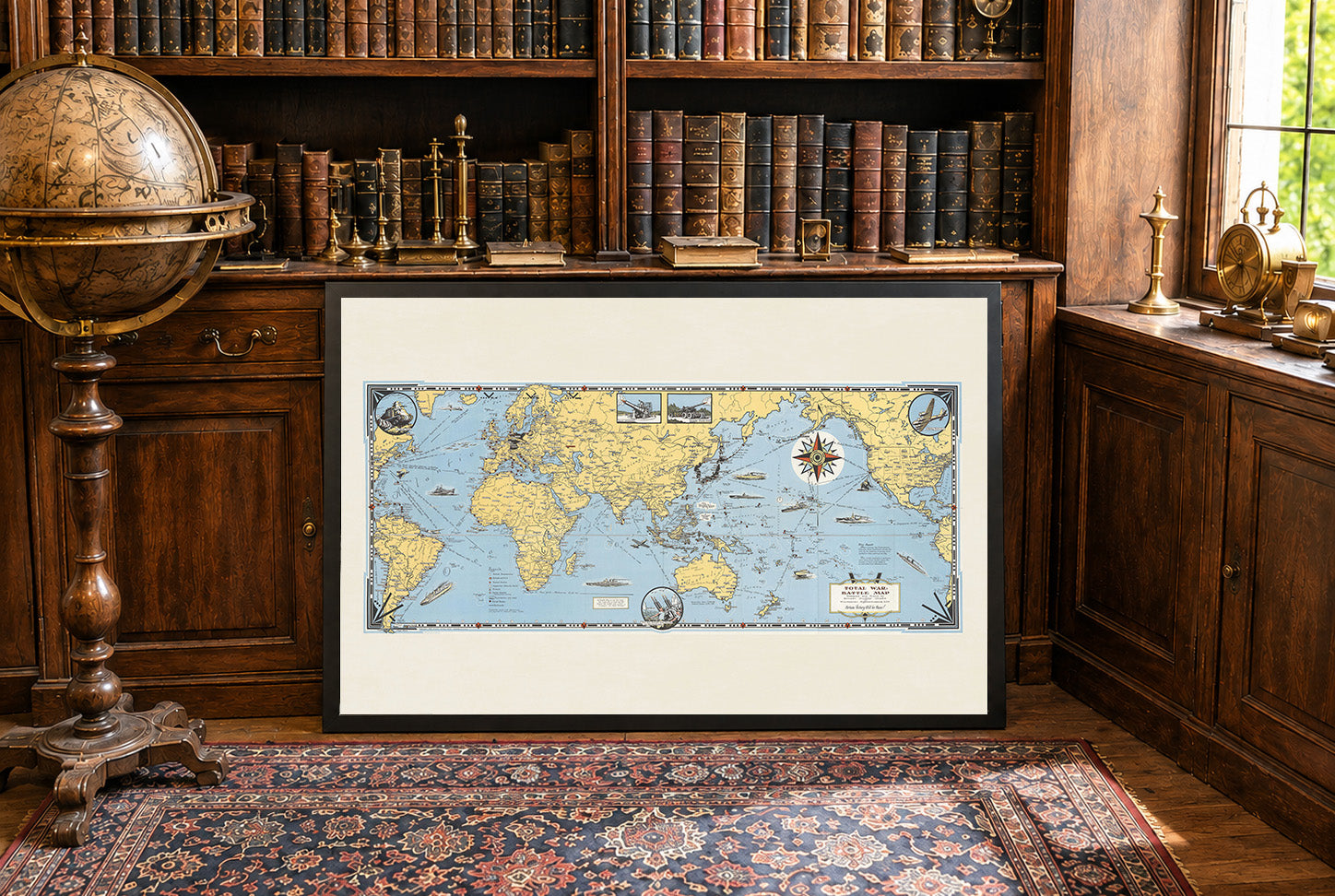
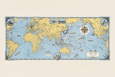
Explore the dramatic global landscape of World War II with this striking Total War Battle Map poster created by Ernest Dudley Chase in 1942. Designed during...

23 items

41 items

60 items

27 items

58 items

10 items