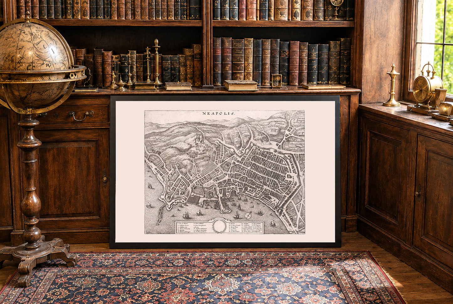


This engraving presents a detailed early modern plan view of Naples (Neapolis), oriented with the Bay of Naples along the lower edge and the hills and hinterland rising behind the city at the top. The title “NEAPOLIS” is centered above the image. The work belongs to a celebrated late‑seventeenth‑century geographical book/atlas devoted to Italy, produced by the Merian workshop, which combined urban views with descriptive scholarship for a learned European readership. The city is rendered with remarkable density and clarity. The shoreline arcs across the lower third, punctuated by moles, quays, and shipyards, while the urban fabric fills the middle, and terraced hills with roads, villas, and fortifications occupy the upper third. The composition balances cartographic precision with pictorial liveliness.
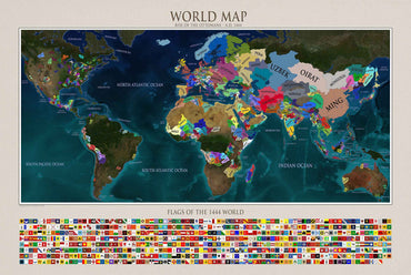
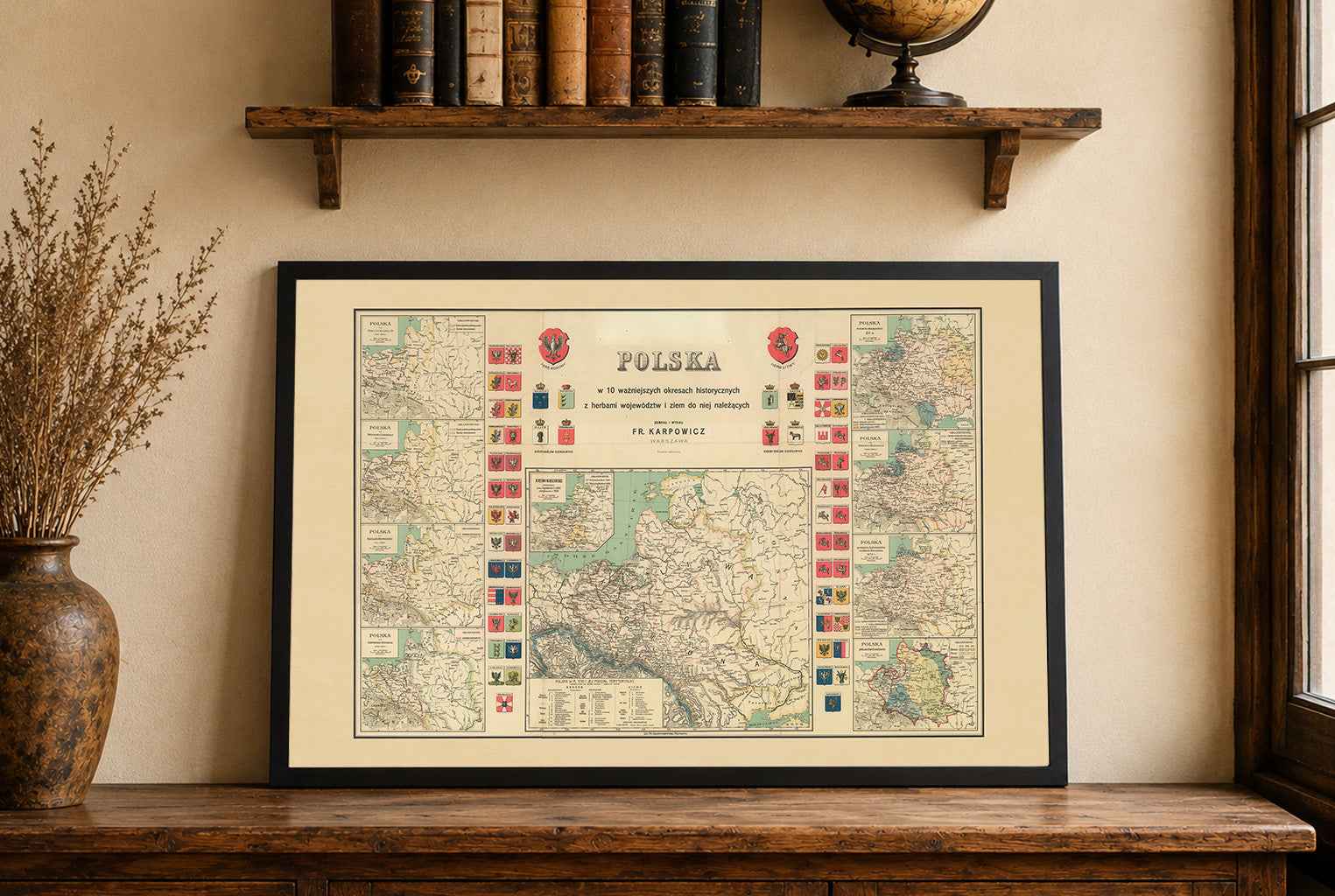
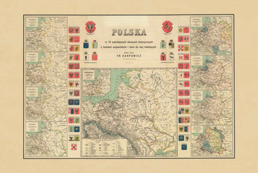
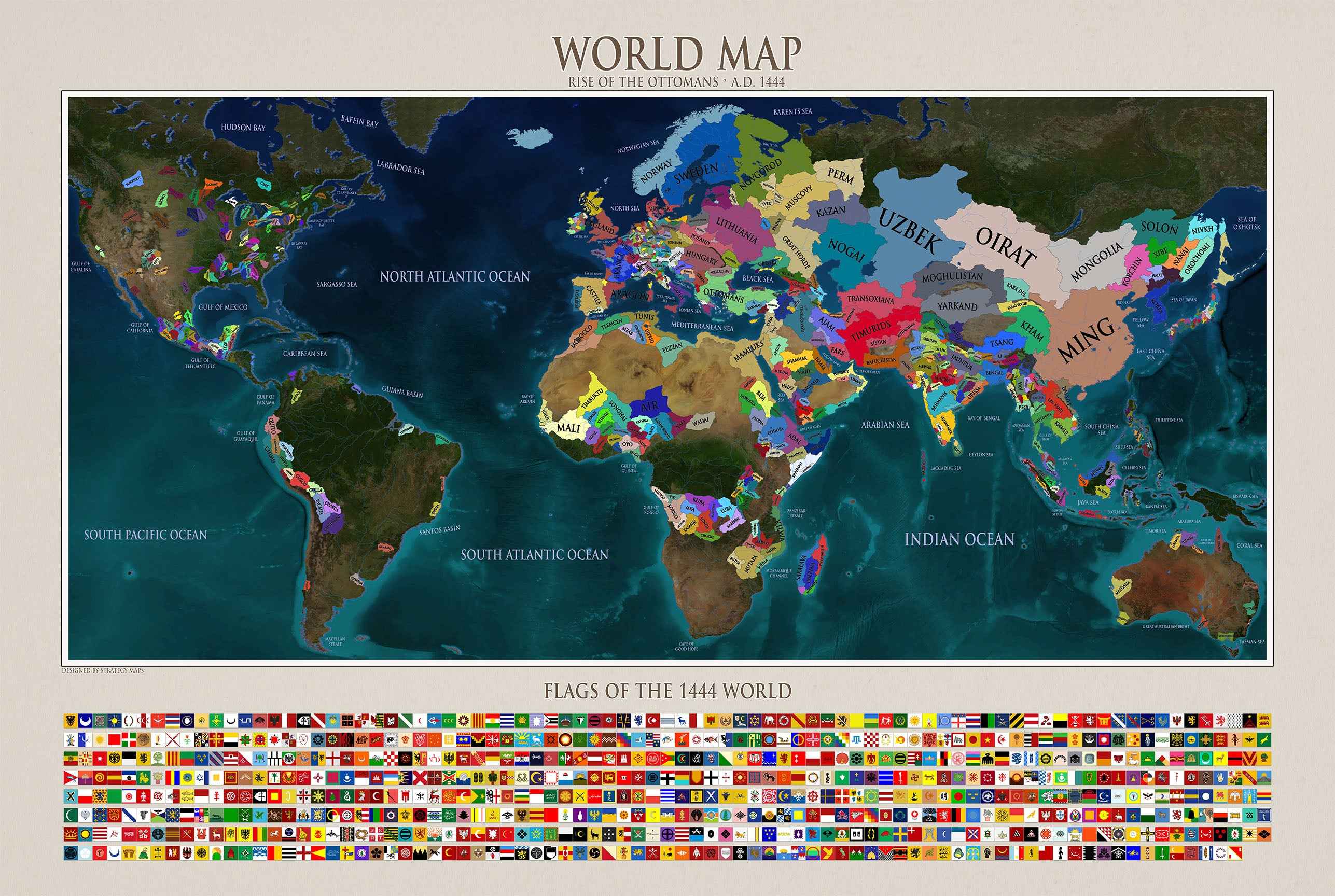
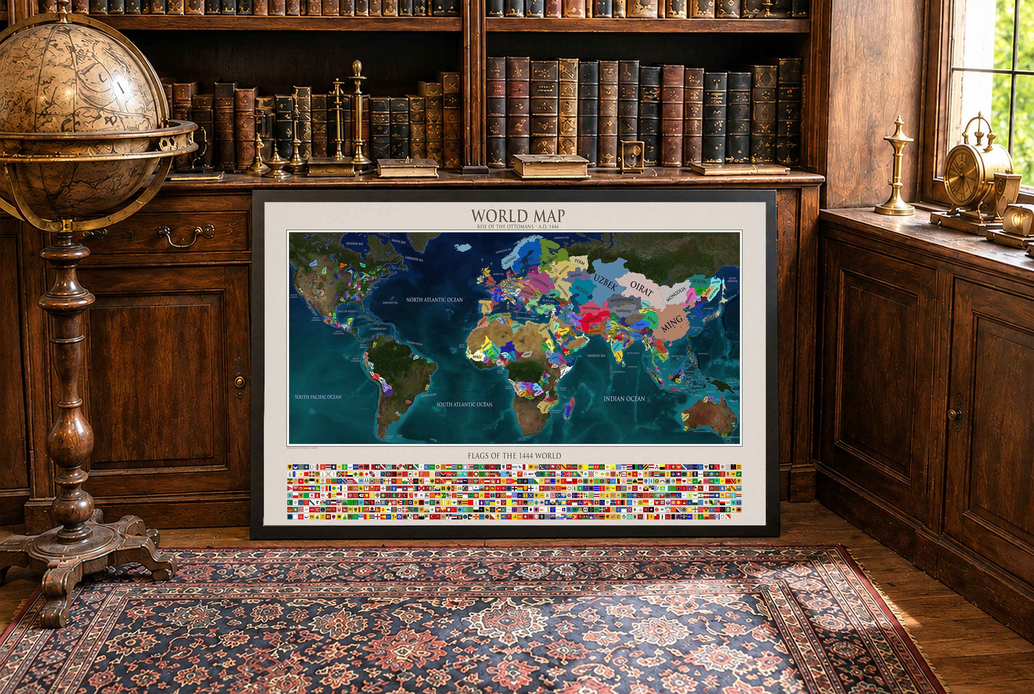
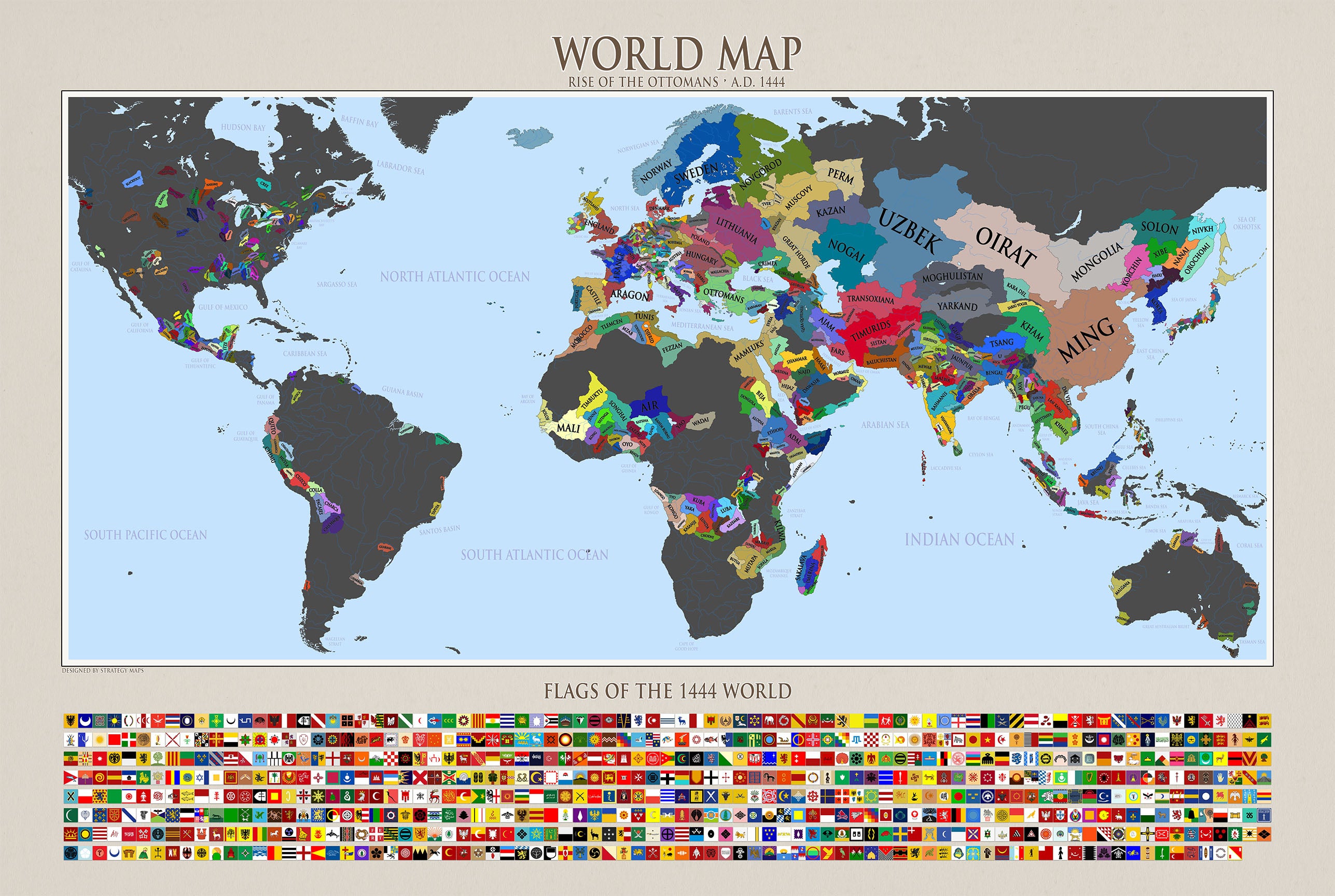
This is a reproduction print of a historical map