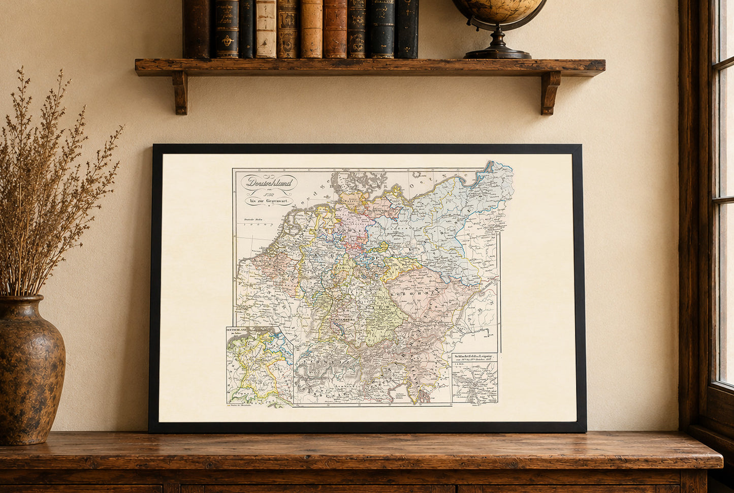
Explore the transformation of Central Europe with this exceptional Historical Germany Map Poster, titled "Deutschland von 1792 bis zur Gegenwart". Created by Karl Spruner von Merz and revised in 1860, this remarkable map was published by Justus Perthes as part of the renowned Spruner Historical Atlas. It illustrates the political evolution of Germany and neighboring regions from the outbreak of the French Revolutionary Wars through the dramatic changes that shaped modern Europe.
Rendered in the refined style of 19th-century historical cartography, the map features beautifully hand-colored political boundaries that distinguish the kingdoms, duchies, principalities, and states of the German Confederation and neighboring Austria. Traditional hachure shading illustrates mountains and terrain, adding depth while preserving the elegance of classical atlas design.
Beyond the main map, two detailed inset maps enrich its historical value. One depicts Germany in 1811 during the height of Napoleonic influence, while the second illustrates the Battle of Leipzig (October 16–19, 1813)-the decisive "Battle of the Nations" that marked a turning point in the Napoleonic Wars and paved the way for the reorganization of Central Europe.
This historical map documents one of the most important periods in German history, encompassing the decline of the Holy Roman Empire, the Napoleonic Wars, the German Confederation, and the political developments leading toward German unification. Rich place names, administrative boundaries, and geographical detail make it an invaluable reference for historians, genealogists, educators, and collectors.
Perfect for offices, libraries, classrooms, studies, or traditional interiors, this vintage Germany map poster combines educational value with timeless decorative appeal.
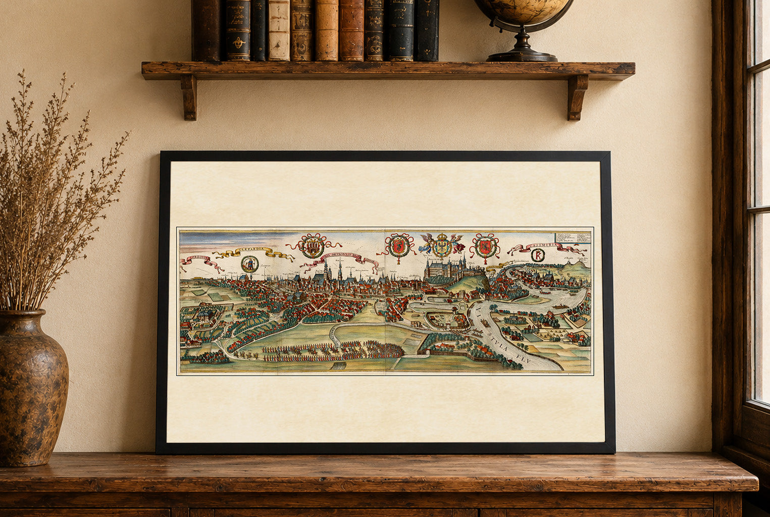
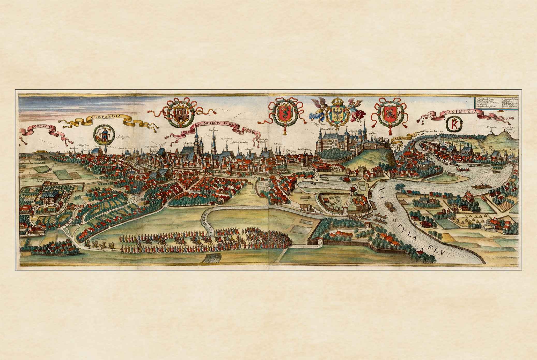
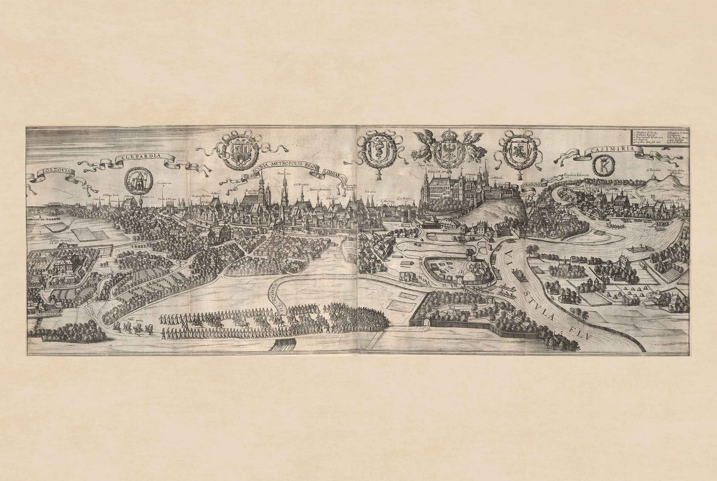
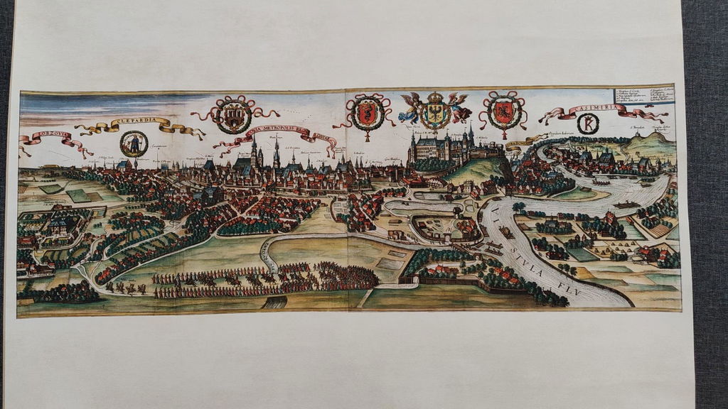
This is a reproduction print of a historical map