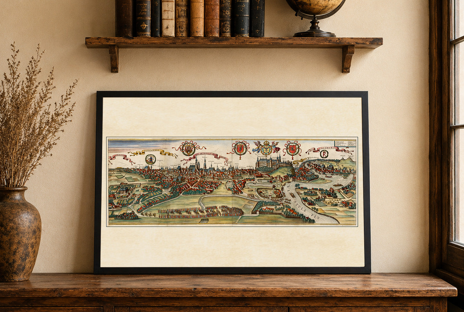
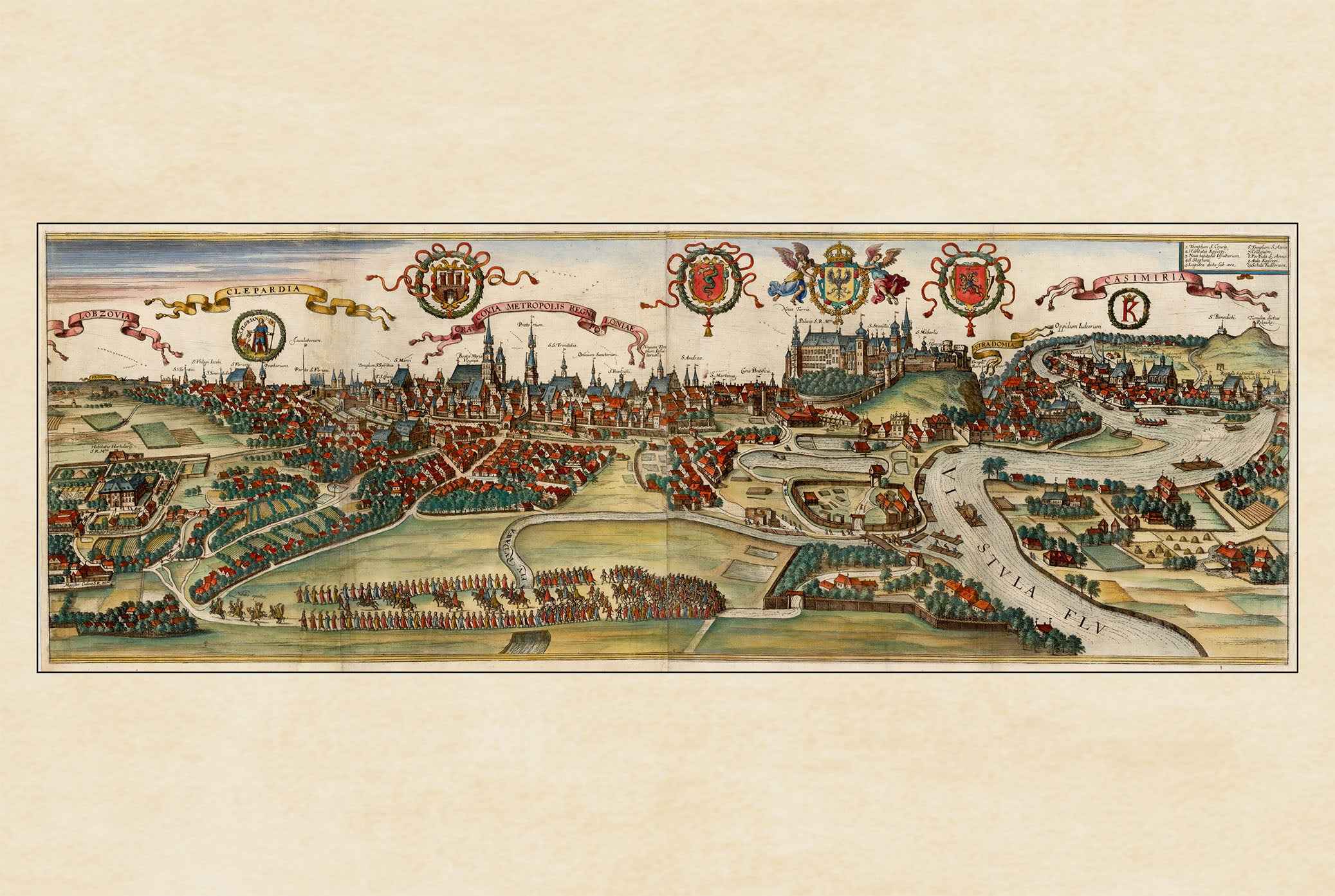
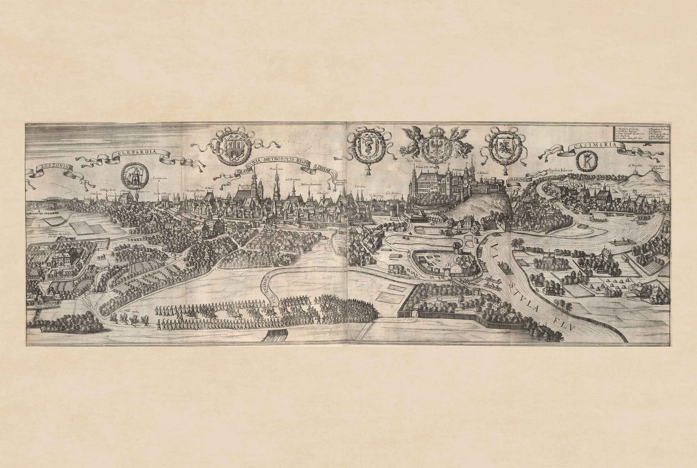
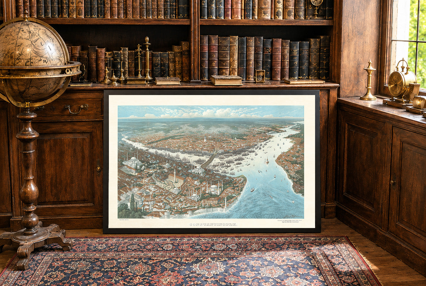
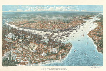
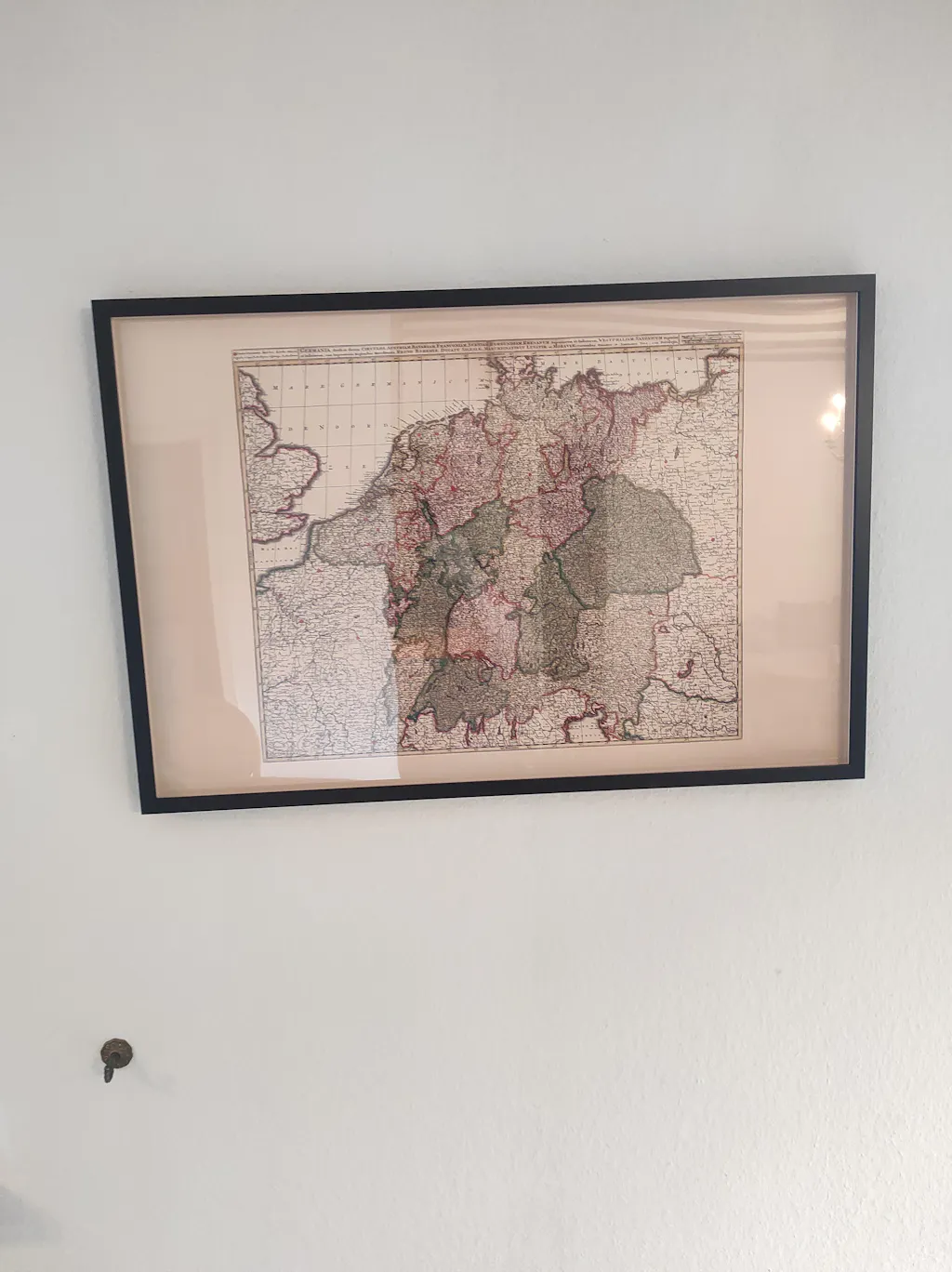
Discover the political landscape of 19th-century Central Europe with this exceptional Kingdom of Prussia Map Poster, titled "Königreich Preussen und die norddeutschen Bundesstaaten." Published during the era of German unification, this beautifully detailed historical map illustrates the Kingdom of Prussia alongside the member states of the North German Confederation, capturing one of the most transformative periods in European history.
Created in the distinguished style of 19th-century German cartography, the map features finely engraved topographic detail, clearly defined provincial borders, major cities, rivers, railways, and administrative divisions. Carefully applied hand coloring distinguishes the various kingdoms, duchies, and principalities, providing both visual clarity and historical accuracy.
The map documents the rise of Prussia as the dominant German power in the years leading to the creation of the German Empire in 1871. It illustrates territories that today form parts of modern Germany, Poland, Lithuania, Russia (Kaliningrad), Denmark, Belgium, and the Czech Republic, making it an invaluable reference for historians, genealogists, and collectors interested in European political history.
Combining scientific precision with elegant Victorian-era craftsmanship, this antique Prussia map is both a valuable historical document and a sophisticated decorative print. Its classic typography, intricate engraving, and subtle color palette make it a striking centerpiece for offices, libraries, studies, classrooms, or traditional interiors.
Perfect for history enthusiasts, collectors of antique maps, genealogy researchers, and admirers of German and European heritage, this vintage reproduction celebrates one of the most influential states in modern European history.
This is a reproduction print of a historical map