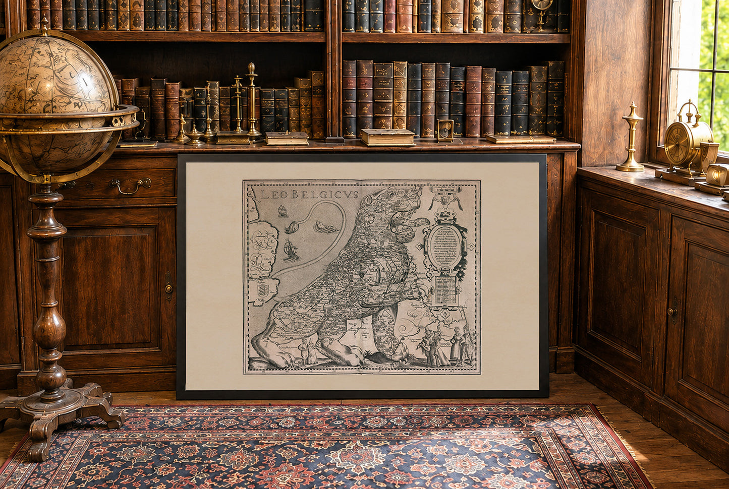
Discover one of the most iconic masterpieces of Renaissance cartography with this stunning Leo Belgicus Map Poster, created by Pieter van den Keere around 1617. Famous for its remarkable lion-shaped design, this historic map transforms the Low Countries into a heraldic lion, symbolizing the strength, unity, and independence of the Dutch provinces during one of the most defining periods of European history.
Published as part of Pieter van den Keere's celebrated regional atlas, the Leo Belgicus is considered one of the most famous allegorical maps ever produced. The lion's body is filled with meticulously engraved cities, rivers, provinces, and political boundaries representing present-day Netherlands, Belgium, Luxembourg, and neighboring regions. The combination of geographic precision and artistic imagination makes this map a true masterpiece of early modern cartography.
Created during the Eighty Years' War against Spanish rule, the lion served as a powerful political symbol of resistance and national identity. Decorative sailing ships, elaborate cartouches, heraldic coats of arms, mythological figures, and Latin inscriptions enrich the composition, reflecting both the maritime power and cultural achievements of the Dutch Golden Age.
Beautifully engraved with exceptional attention to detail, this antique map is equally admired as a historical document and an extraordinary work of art. It is perfect for historians, collectors, genealogy enthusiasts, lovers of Dutch history, and admirers of Renaissance cartography.
An elegant addition to offices, libraries, studies, living rooms, or traditional interiors, this vintage Leo Belgicus poster celebrates one of the most recognizable symbolic maps ever created.
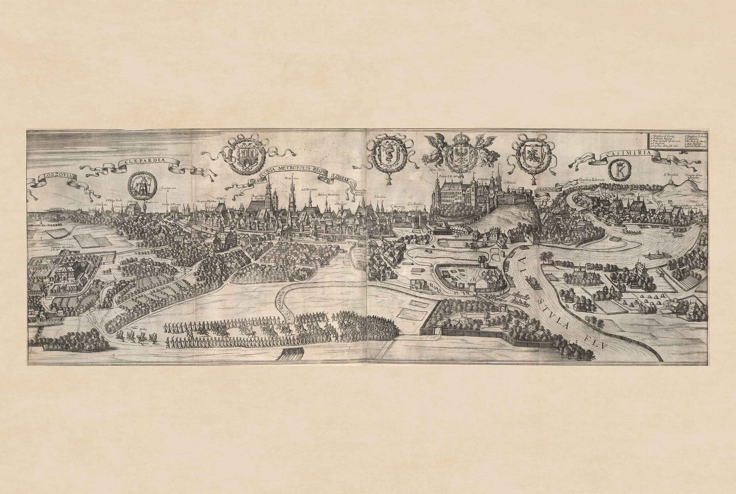
This is a reproduction print of a historical map