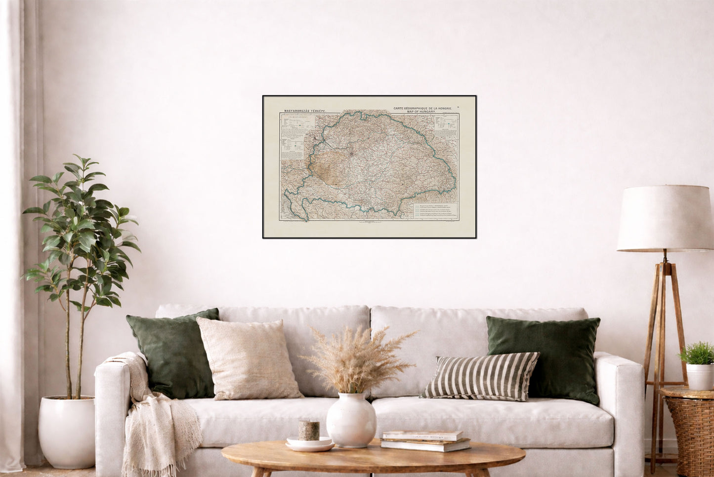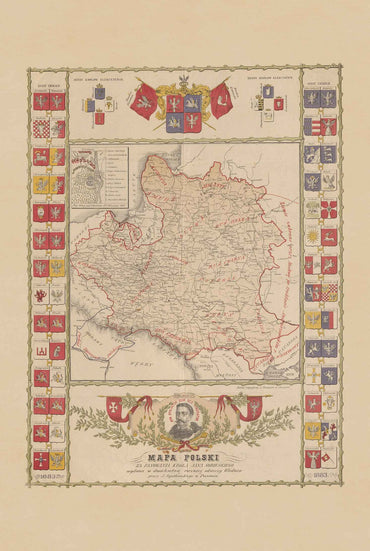



Bring a fascinating piece of European history to your wall with this vintage Map of Hungary poster, based on a rare early 20th-century cartographic work dating to around 1920.
The map, titled Magyarország térképe / Carte géographique de la Hongrie / Map of Hungary, depicts Hungary and its neighboring countries with borders established following the Treaty of Trianon, making it a particularly interesting historical document from the period following World War I. The map was likely prepared in connection with the negotiations surrounding the 1920 Trianon Peace Conference.
Printed in multiple languages, including Hungarian, English and French, the map combines detailed political geography with topographical information. Hachures and elevation points illustrate the terrain, while clearly marked borders show the territorial configuration of Hungary and Central Europe during this pivotal period.
With its distinctive vintage appearance and historical significance, this Hungarian history map poster is ideal for history enthusiasts, collectors, travelers, and anyone interested in Central European geopolitics, the Austro-Hungarian legacy, or the history of Hungary.
Details:
- Historical map dating to approximately 1920
- Hungary and neighboring countries
- Borders following the Treaty of Trianon
- Original multilingual title and legend
- Detailed topography with hachures and elevation points
- Based on a historical Hungarian cartographic publication
- Excellent vintage wall art for history and geography enthusiasts
This is a reproduction print of a historical map
Author: Dufka, K. Rysunki
Year: 1920