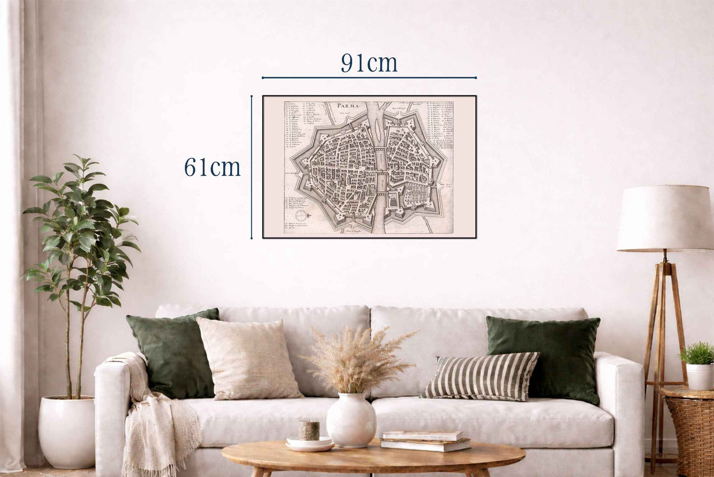


This work is an early modern engraved plan of the city of Parma, presented from an elevated, schematic viewpoint typical of late 17th‑century urban cartography. The title “PARMA” is prominently engraved at the top center. The image belongs to a chorographic atlas that combined maps, city views, and descriptive text to present a comprehensive picture of Italy’s principal cities during the early modern period. Using the publication (“Pub”) information, this view forms part of a larger Italian volume within a celebrated European topographical series produced by the Merian workshop, which was widely circulated north of the Alps and instrumental in shaping contemporary perceptions of Italian cities.
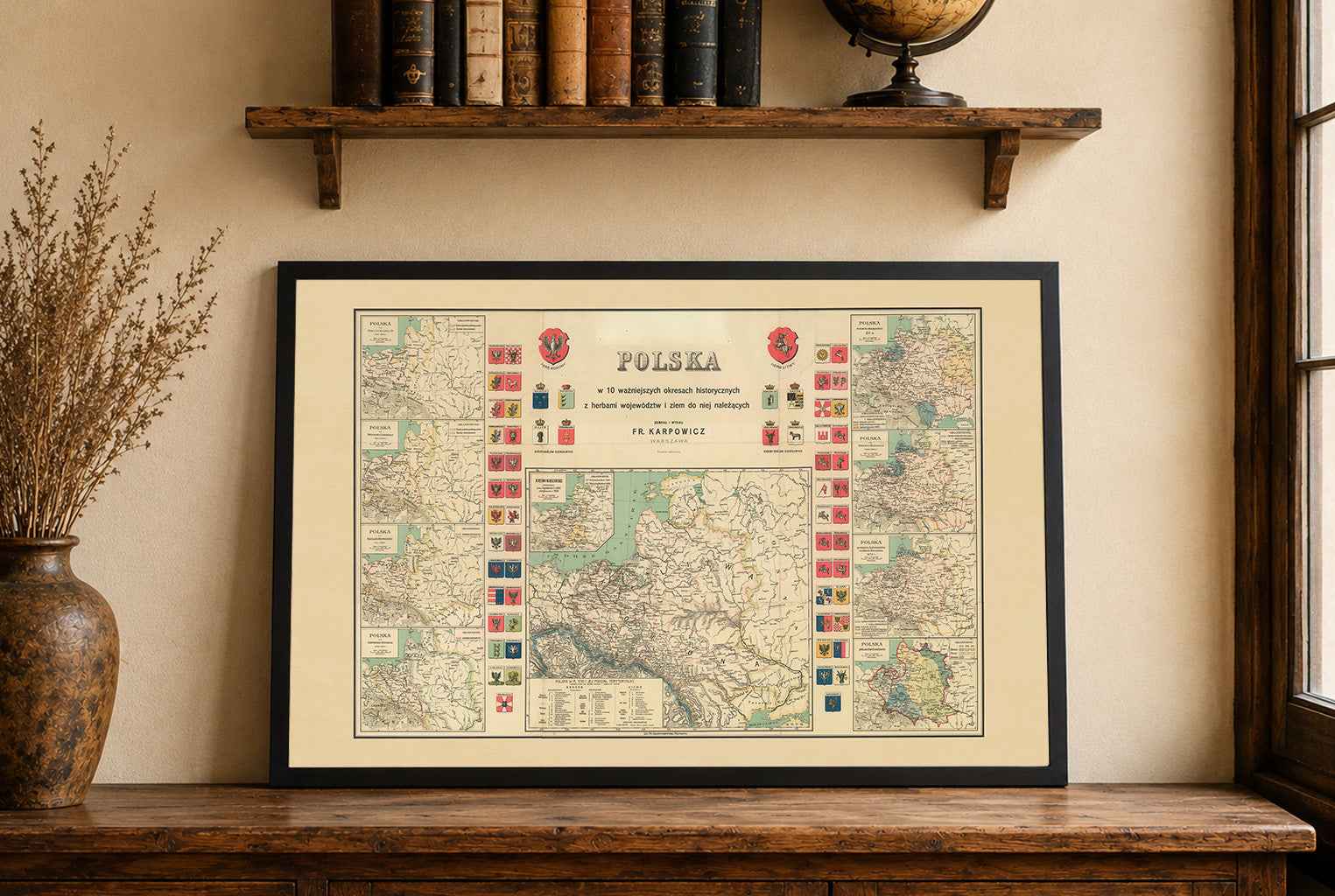
This is a reproduction print of a historical map